Sicily and the Aoelian Islands
A Tour of the Sicilian volcanoes organised by Exodus Travel.
These images have been reduced to a width of 1280 pixels and in some cases cropped and otherwise adjusted. If you would like a copy of any of the originals please drop me a line at eddaardvark@yahoo.co.uk.
Click on the small images to see the full size versions.
The pictures
Sunday: Lipari
We landed in Catania and were driven to Milazzo where we took a hydrofoil to the island of Lipari where we spent the first two nights. The main town in Lipari, is also called Lipari, though we were staying in Canneto.
Arrival
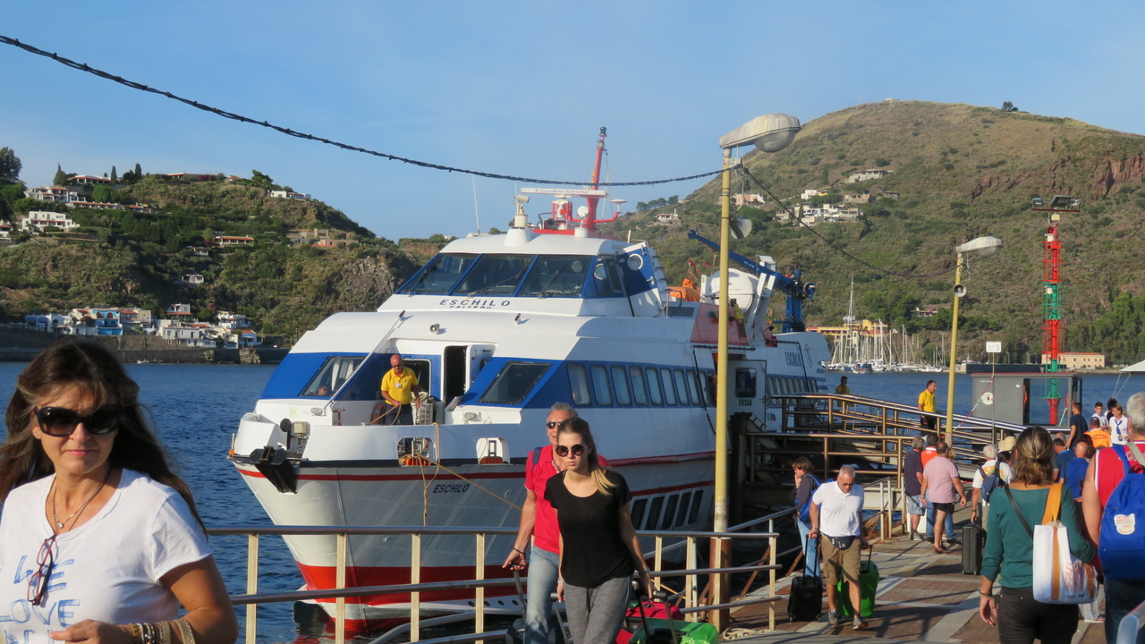
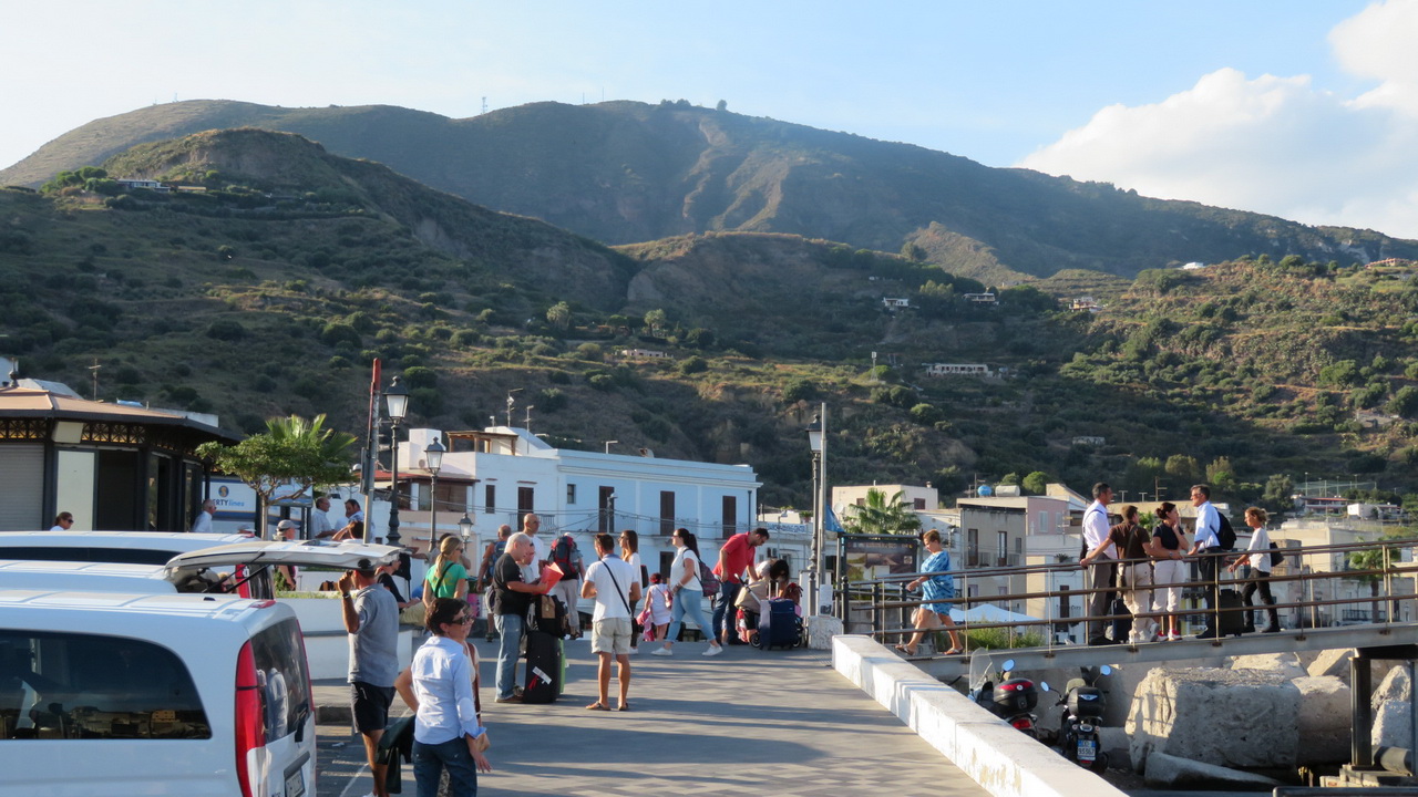
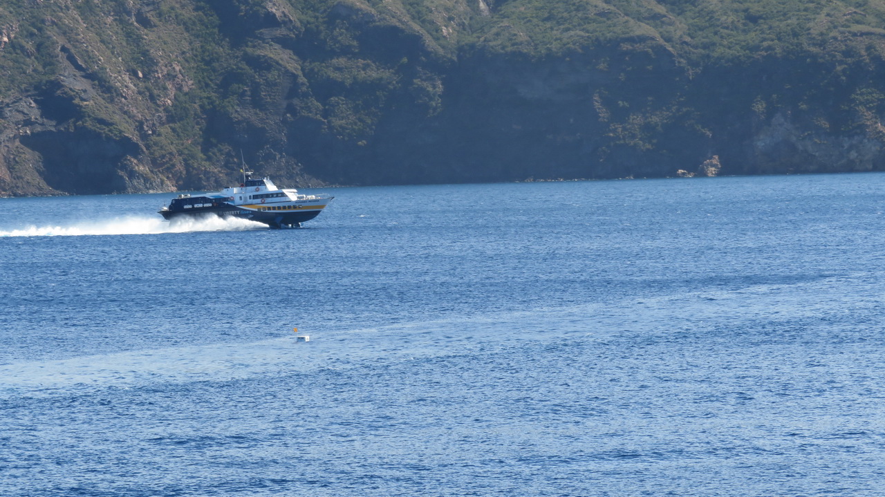
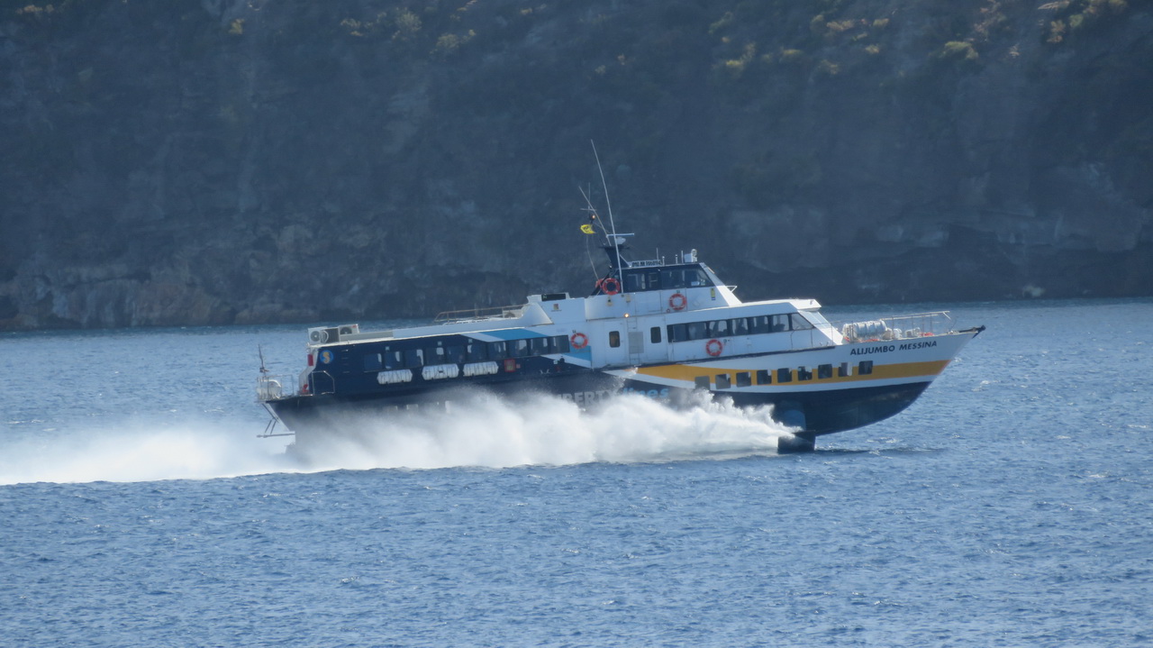
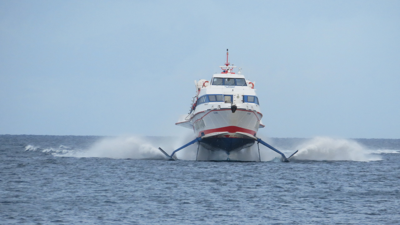
The hydrofoils don't look that large but they manage to cram close to 300 people onto them, on two decks. They always seem to be packed. If you get a window seat on the lower deck you can see the water a few feet beneath you. The crossing from Milazzo, via Vulcano, takes about 90 minutes.
 |
 |
The cross
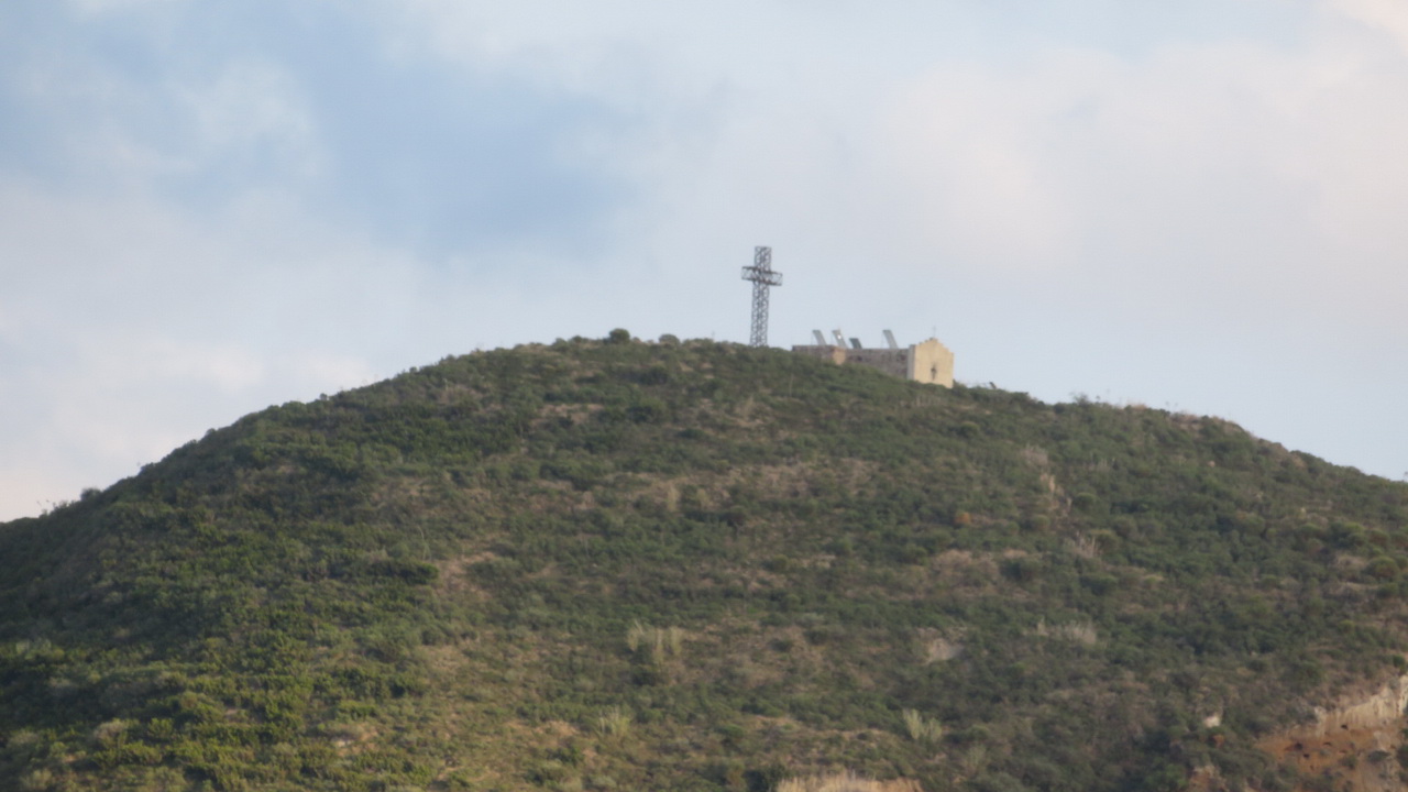
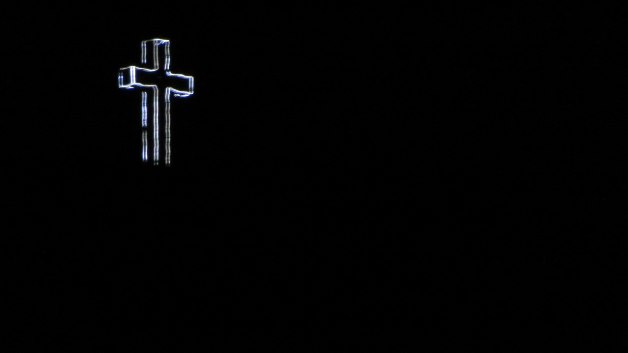
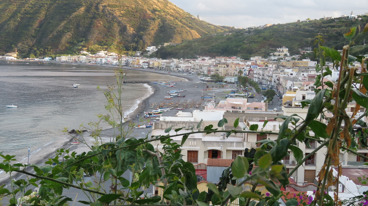
We actually stayed in a town called Canneto, a bit further north from Lipari (the town). It is overlooked by this illuminated cross, seen here by day and by night. The pictures are a bit blurry as a lot of zoom was involved.
 |
 |
Canneto
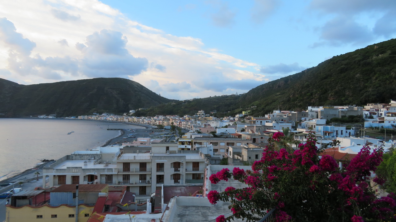
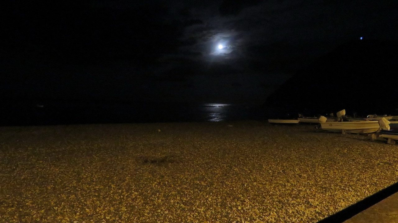
Seen from our hotel, and a night view of the beach. The cross is atop the hill seen on the top right of the first image.
 |
 |
 |
Monday:
Sunrise
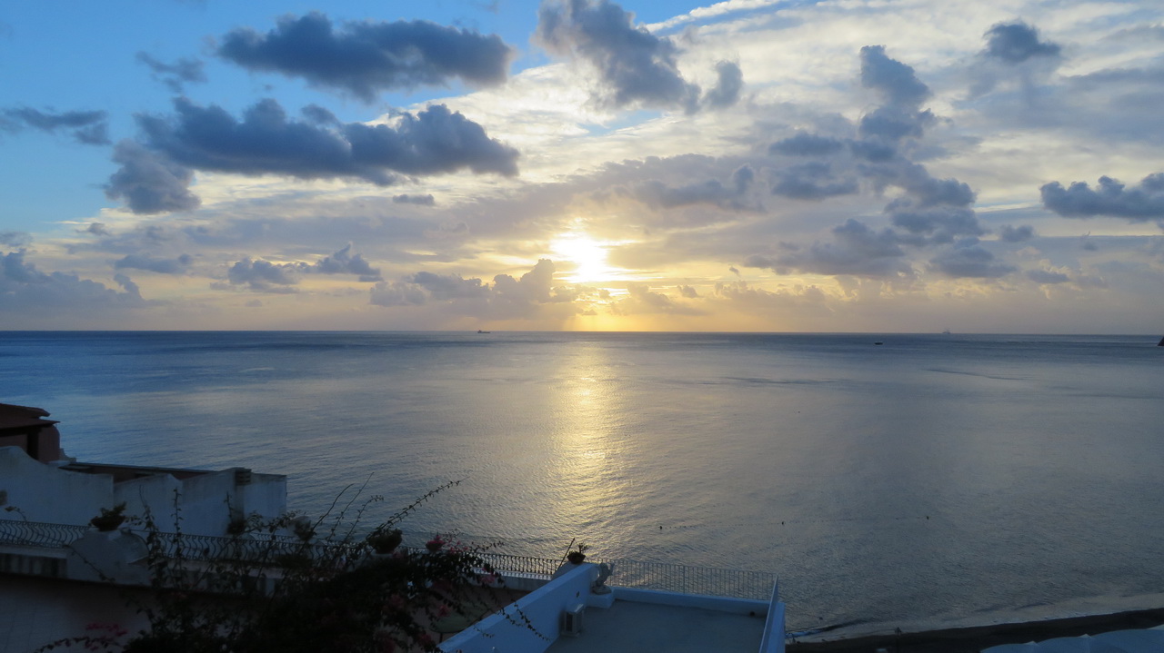
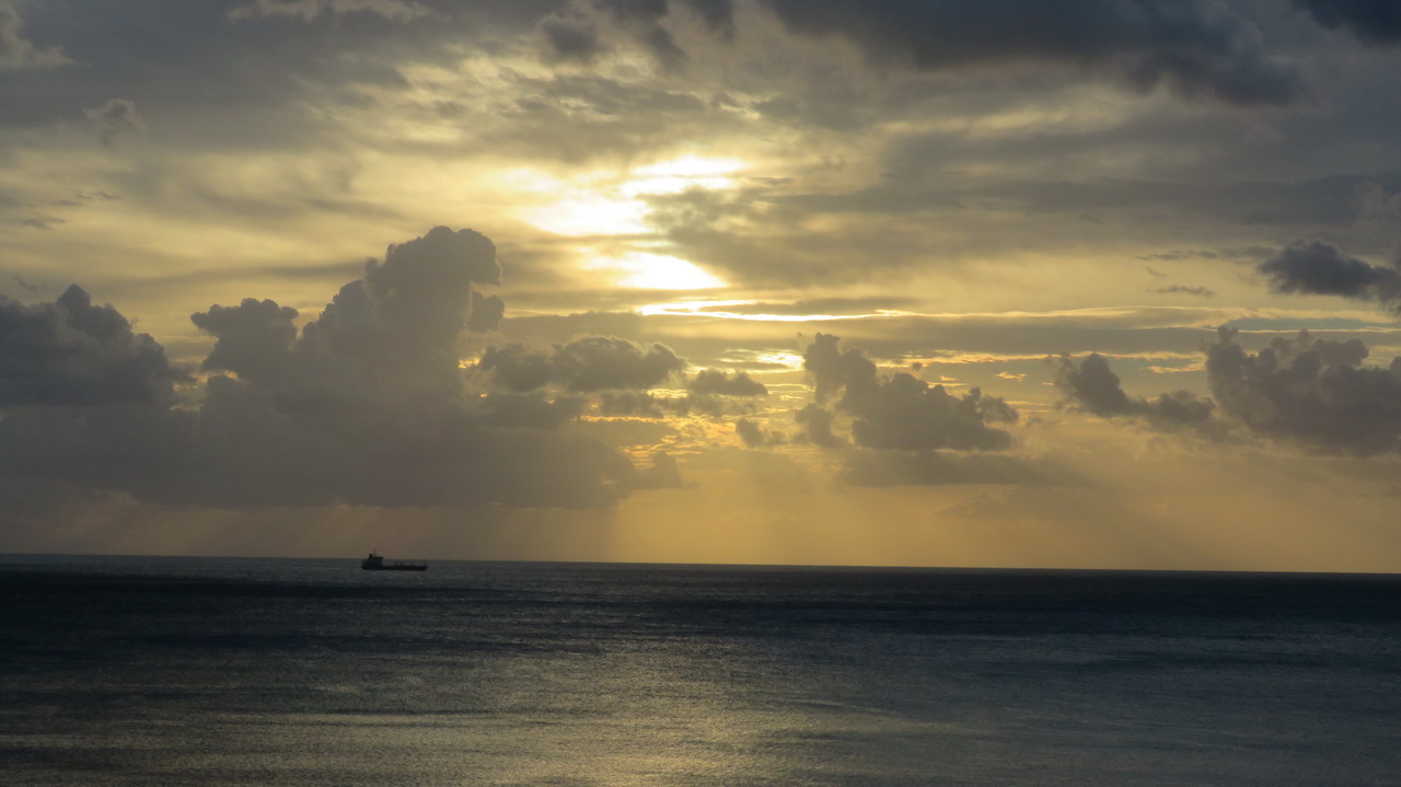
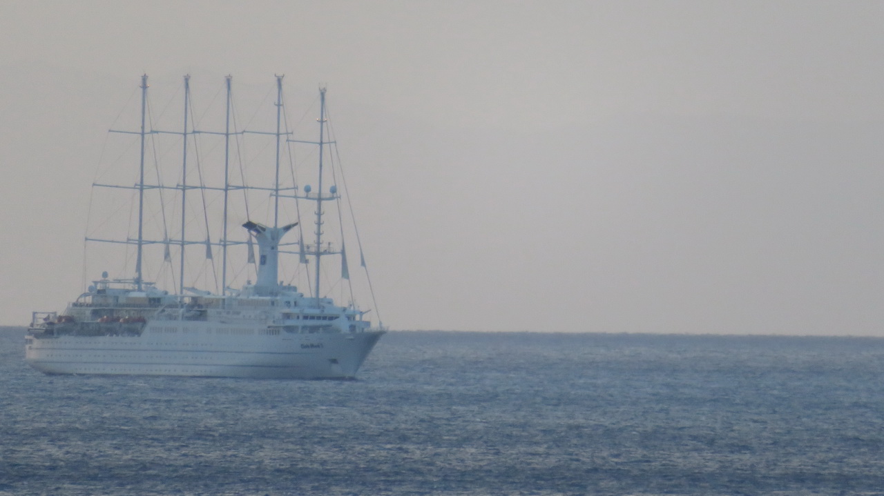
Views from our veranda, the sun rising behind the clouds and an interesting masted yatch..
 |
 |
 |
Vulcano
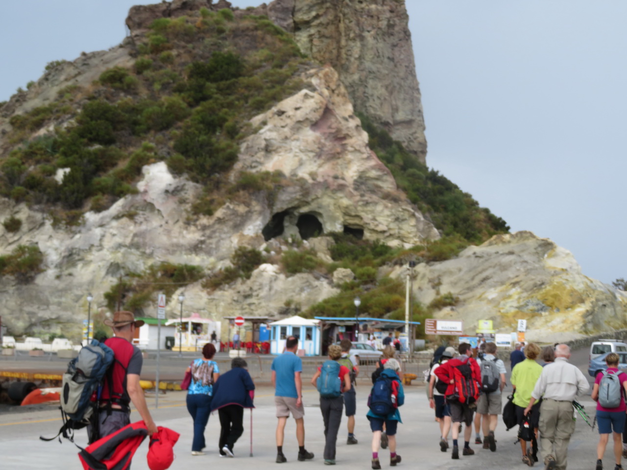
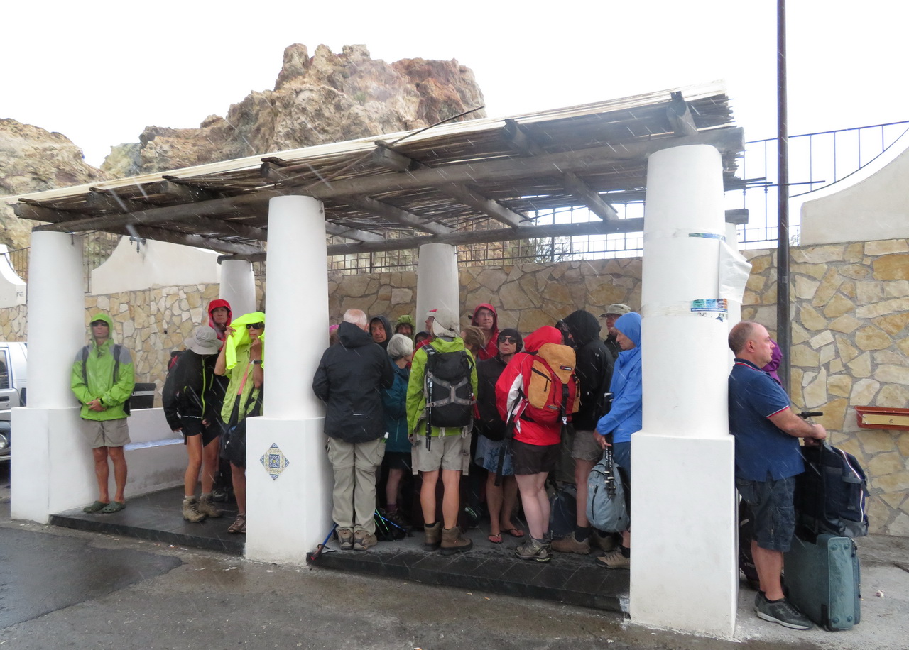
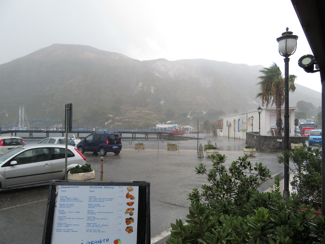
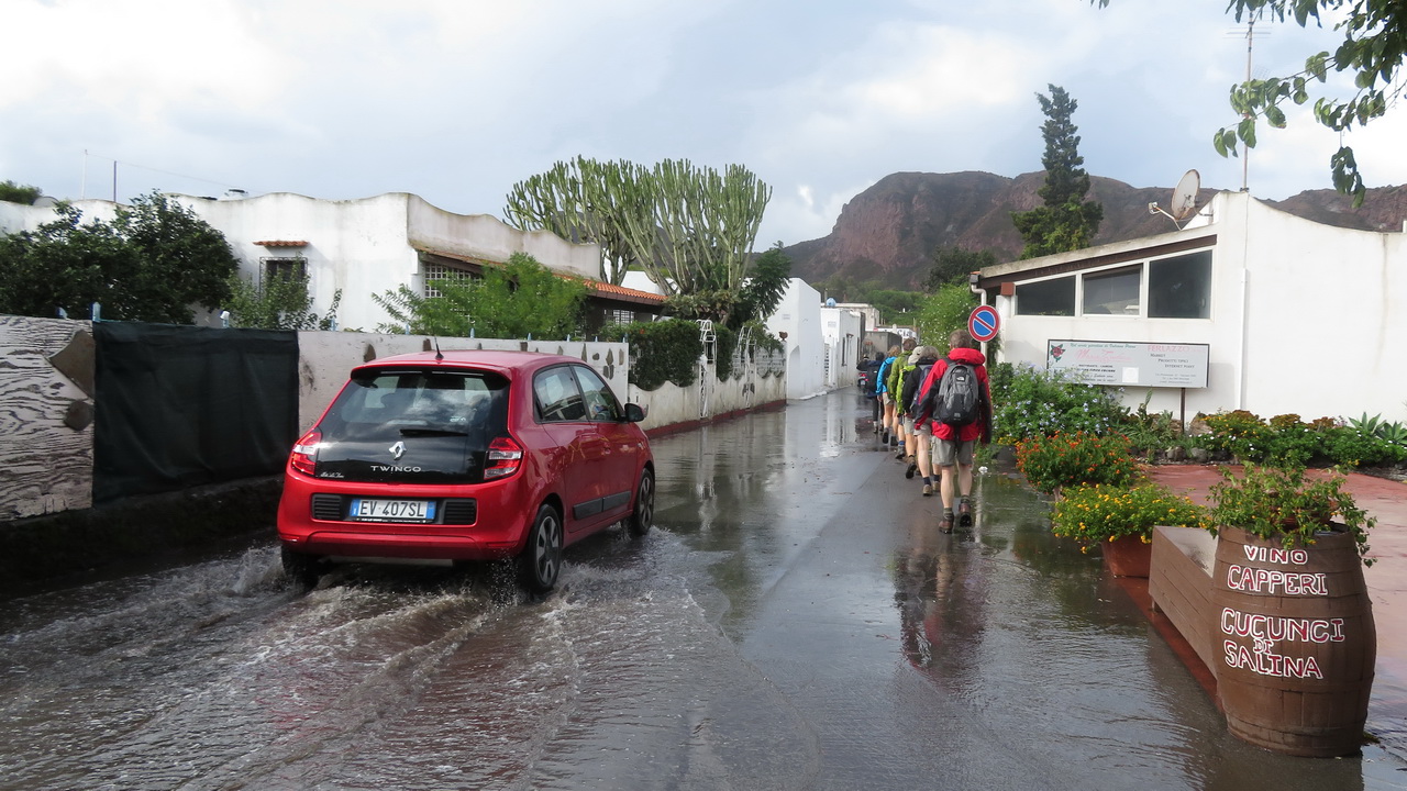
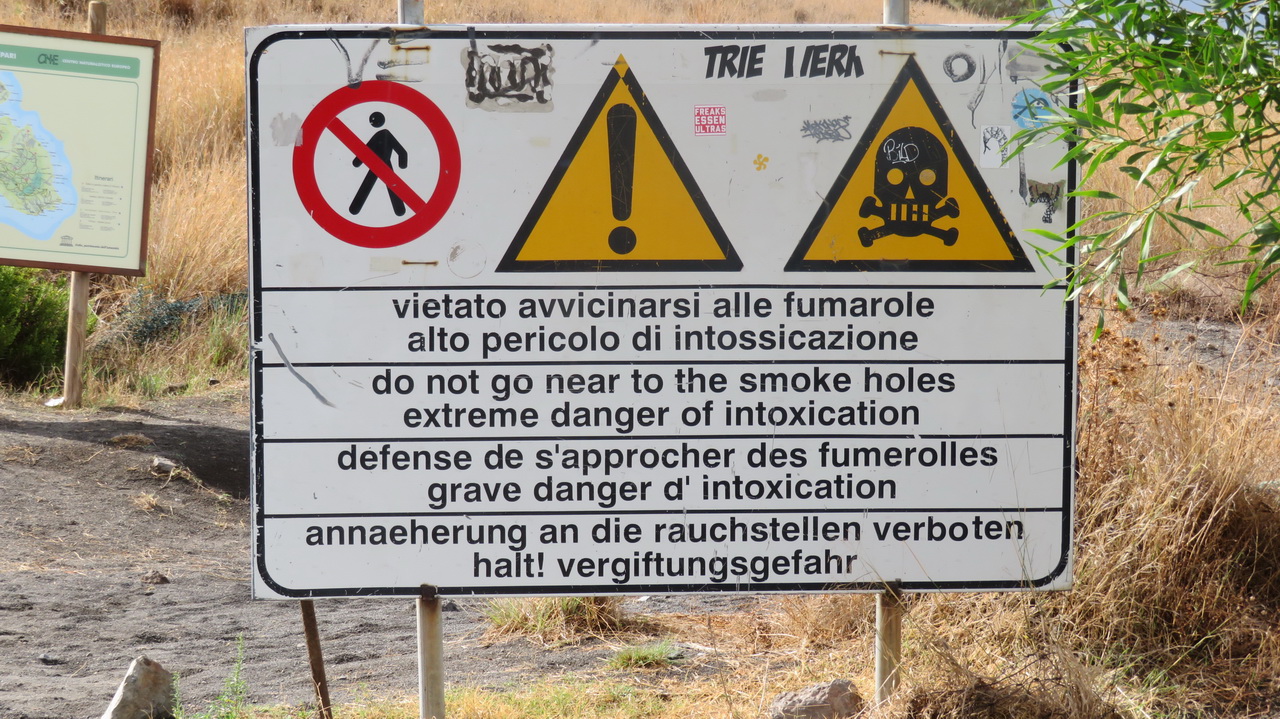
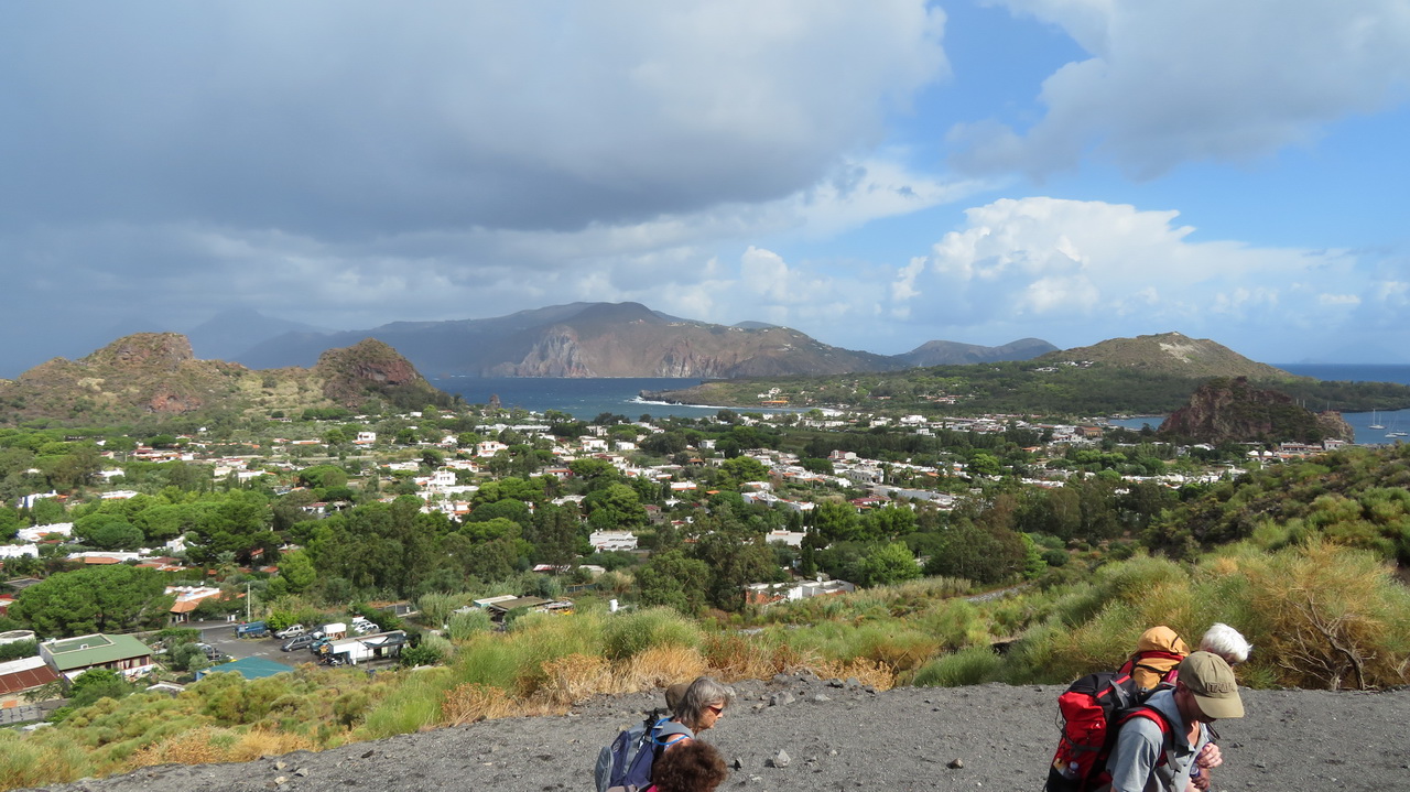
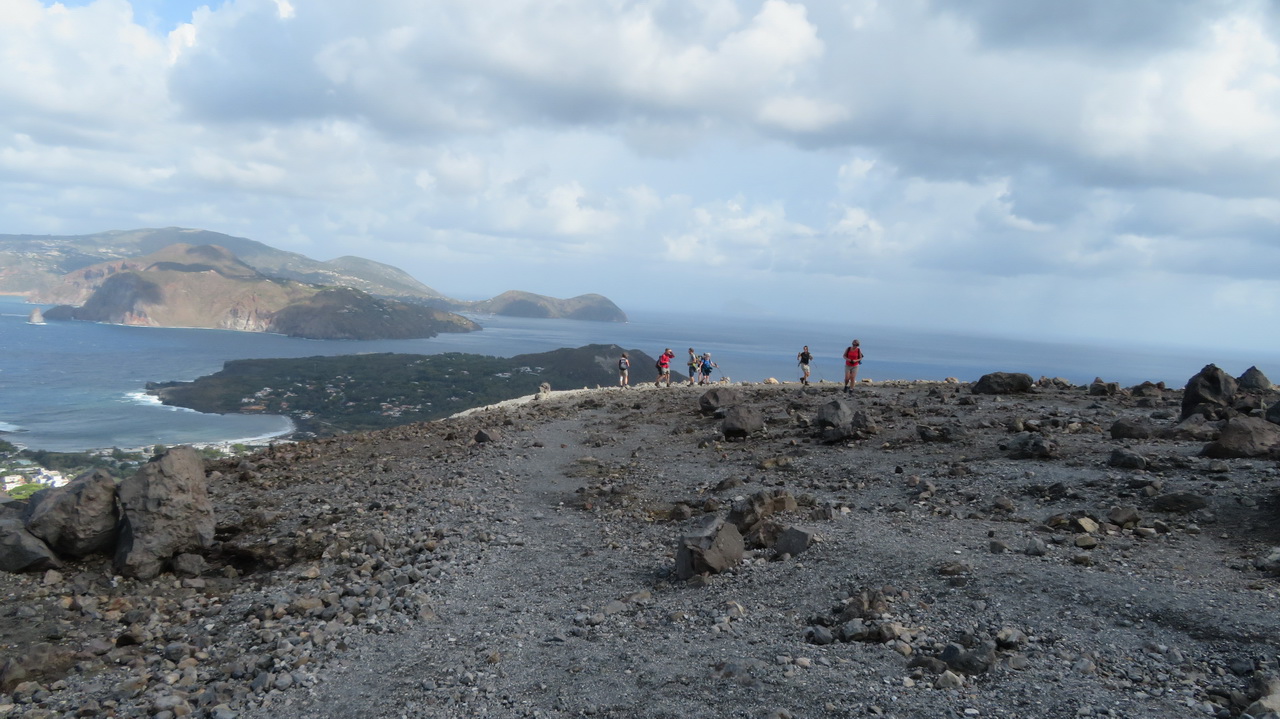
We visitied this smaller island, just south of Lipari, about 10 minutes on the hydrofoil. This volcano has been active in the last few hundred years with the last erruption in 1888, but today is quite quiet, just a bit of sulphurous steam. When we arrived it started raining, so after hiding under a shelter for a while we took advantage of a break to set off.
 |
 |
 |
 |
 |
The ascent.
 |
 |
 |
 |
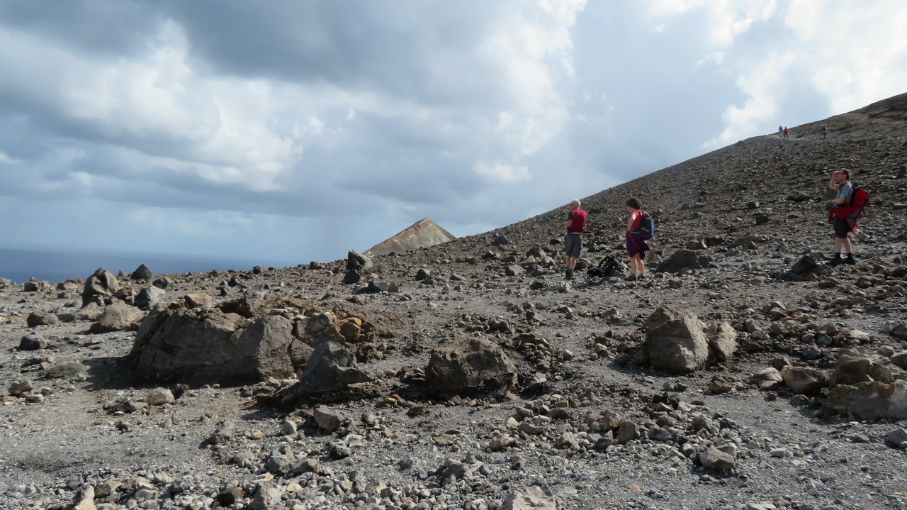 |
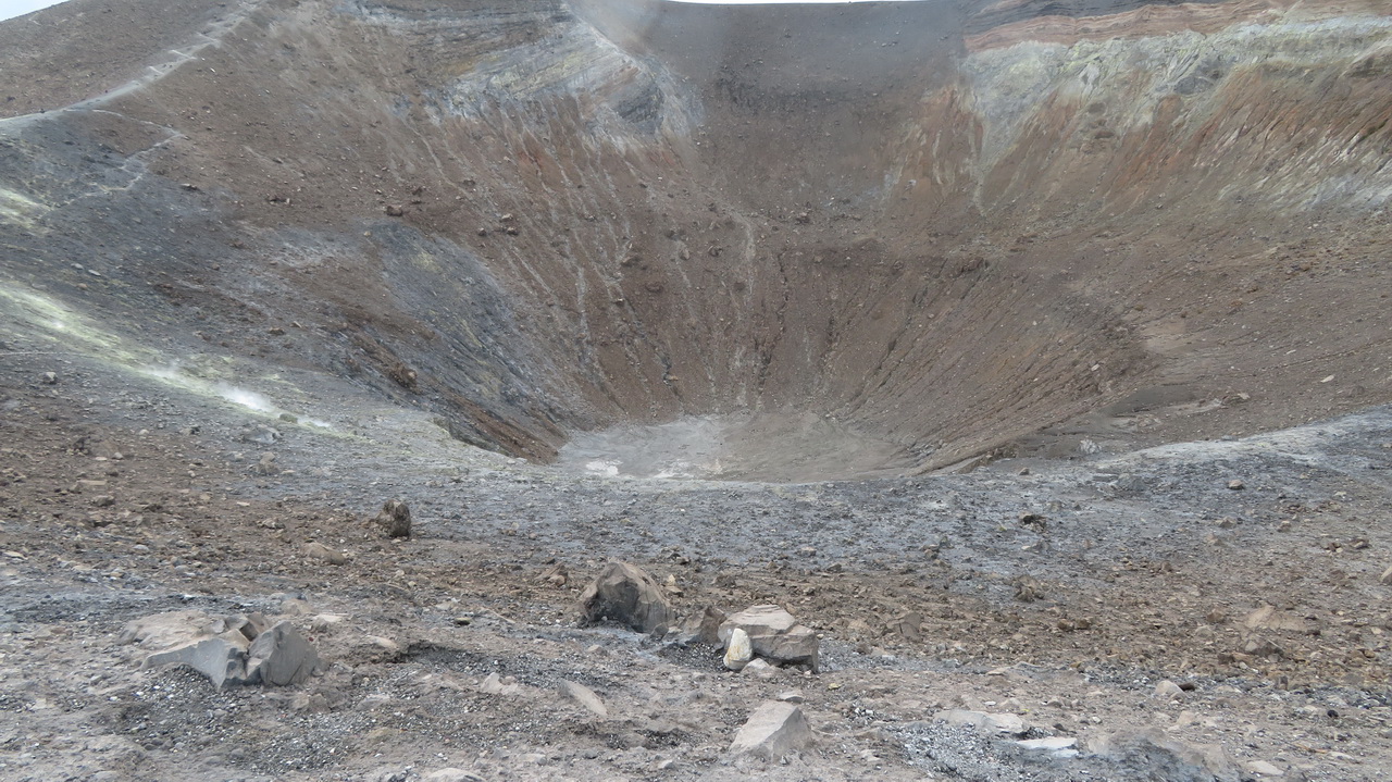
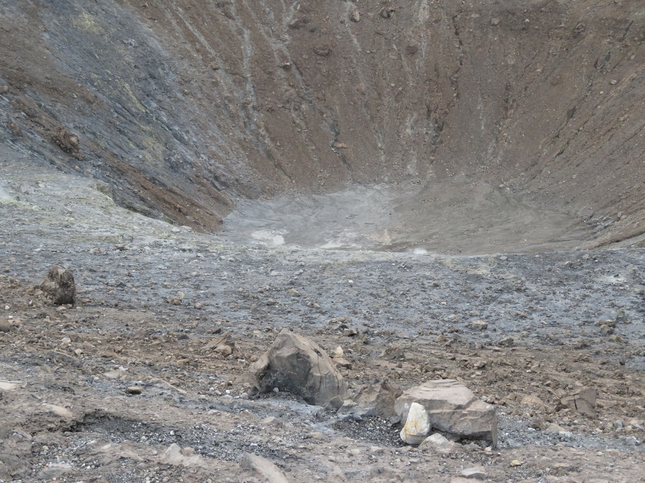
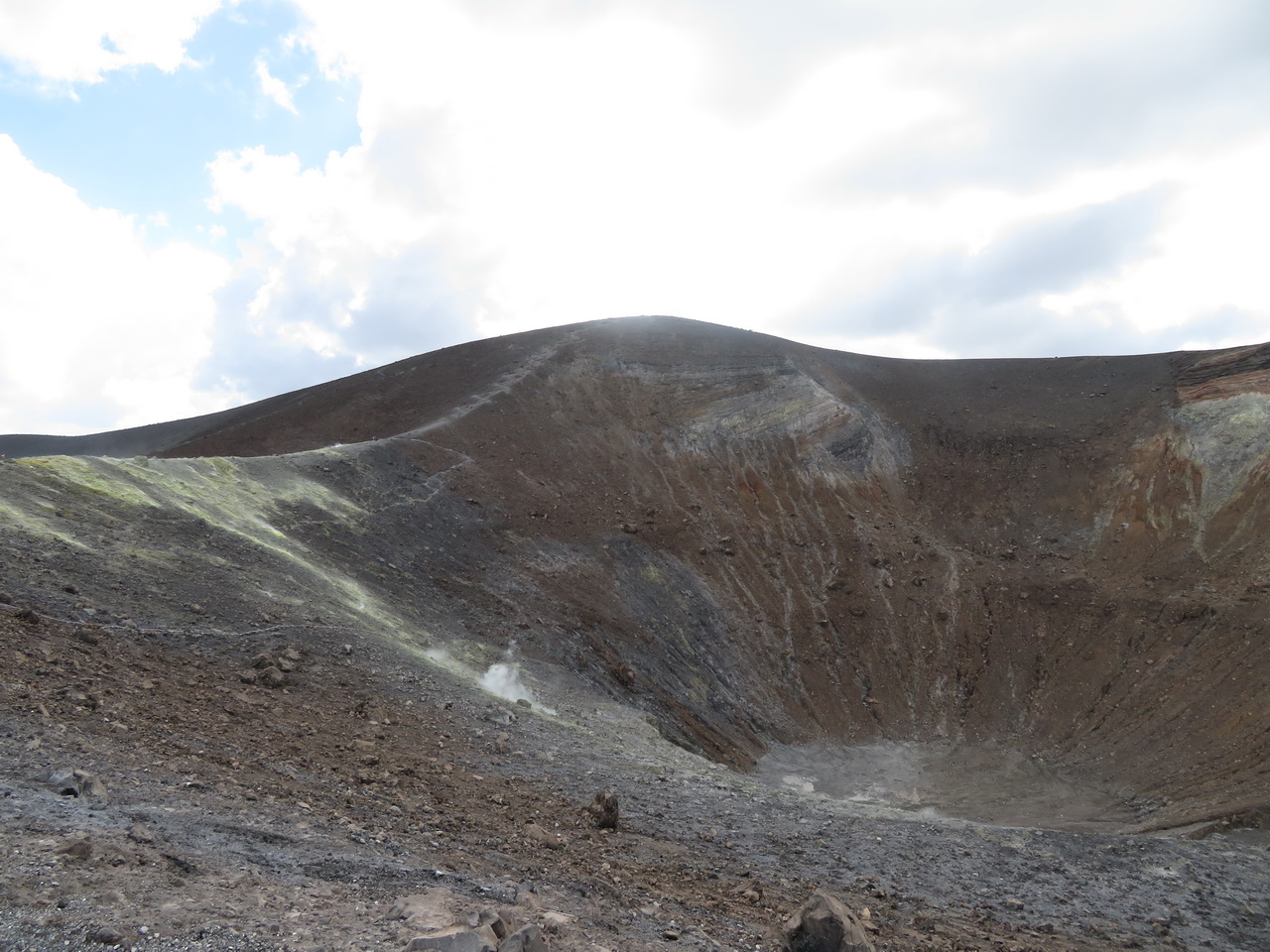
The crater. The crater is about 200 meters short of the highest point, but this is as close as we got as it was too windy to continue, though lots of others seemed to manage. You can see the summit in the last two images.
 |
 |
 |
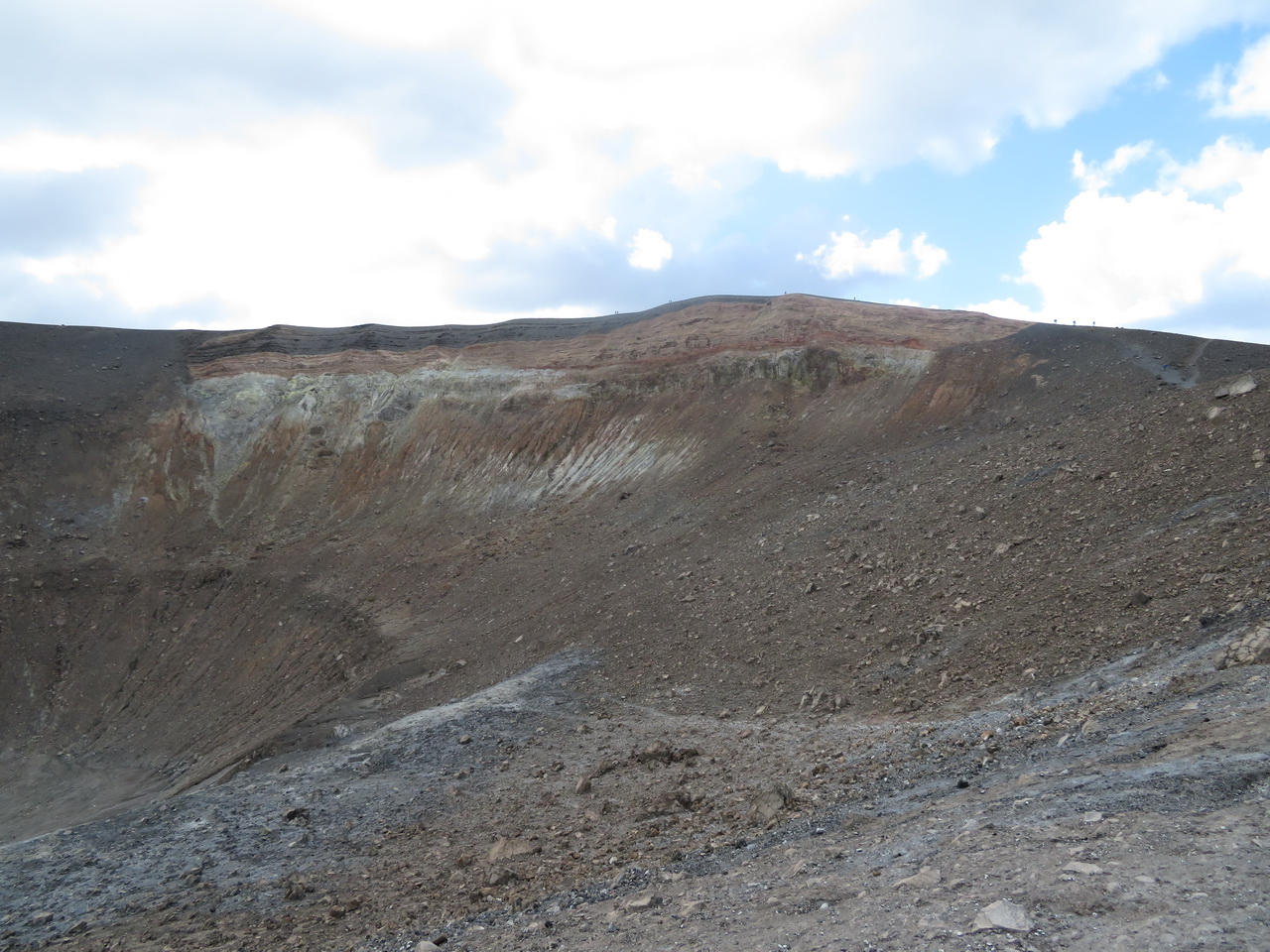 |
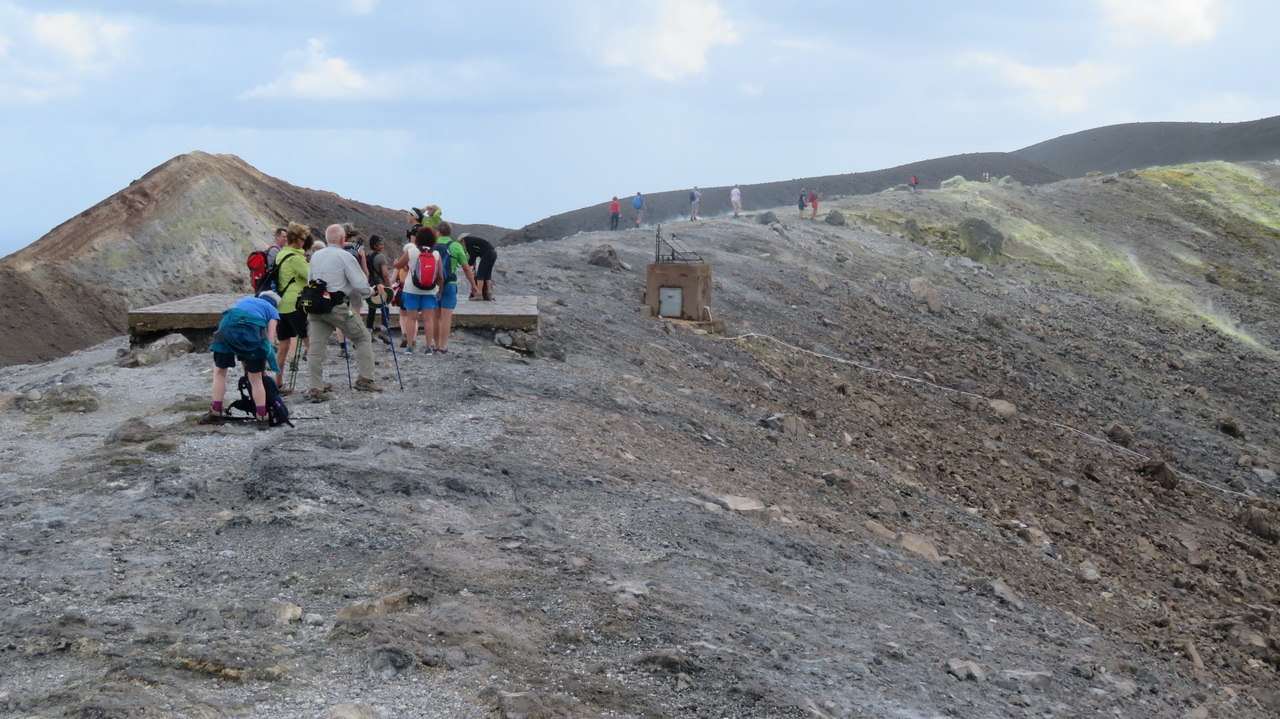
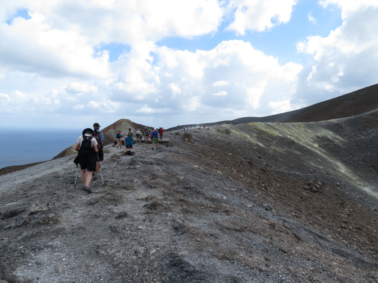
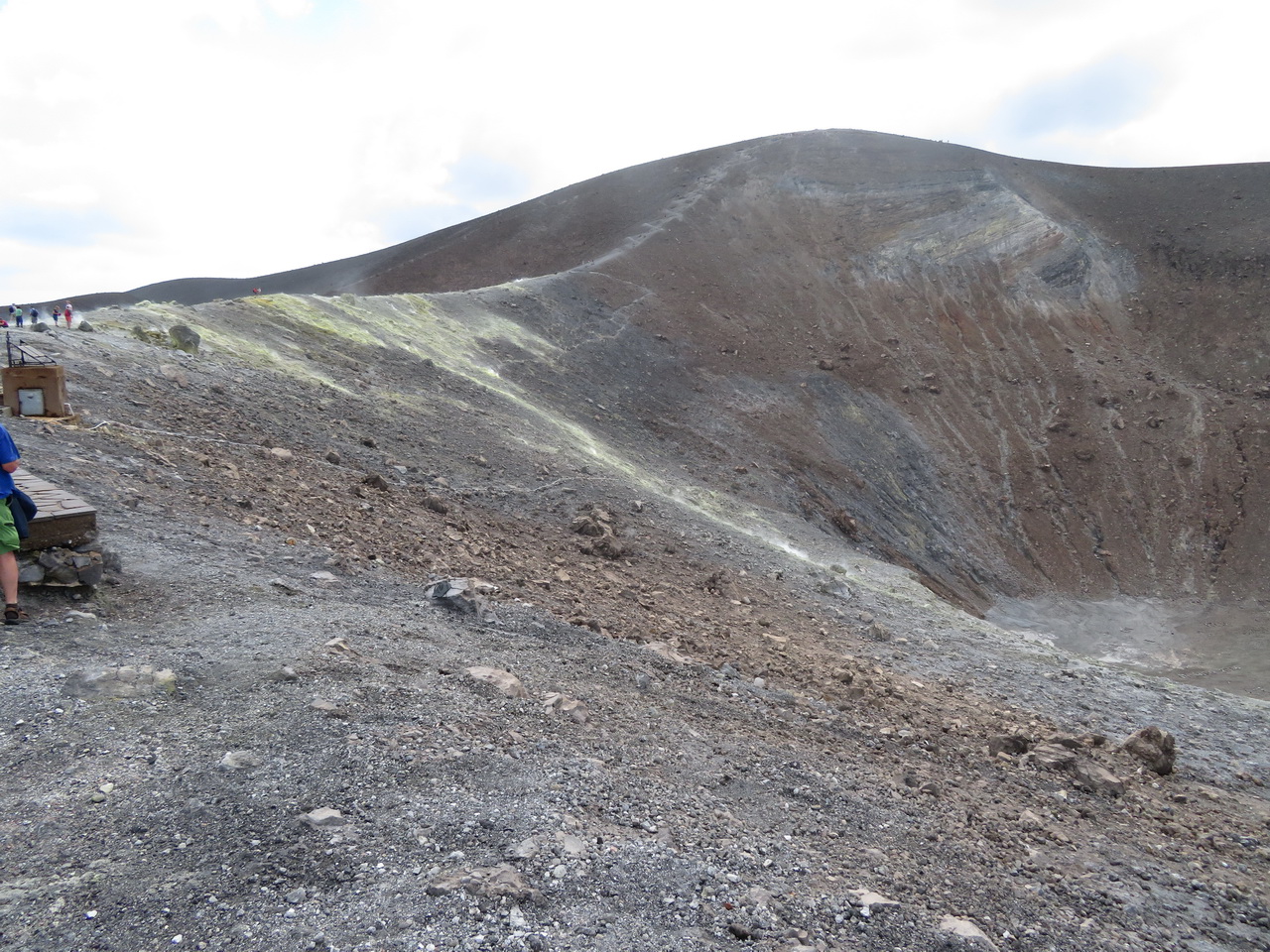
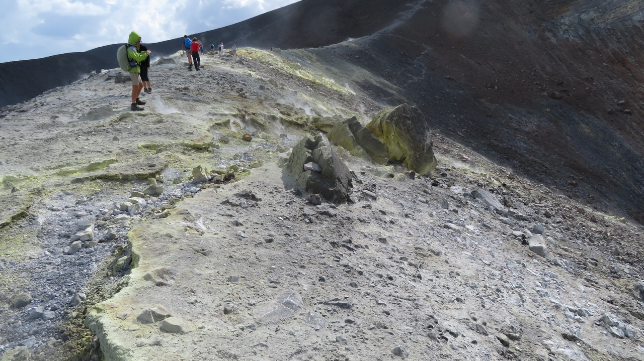
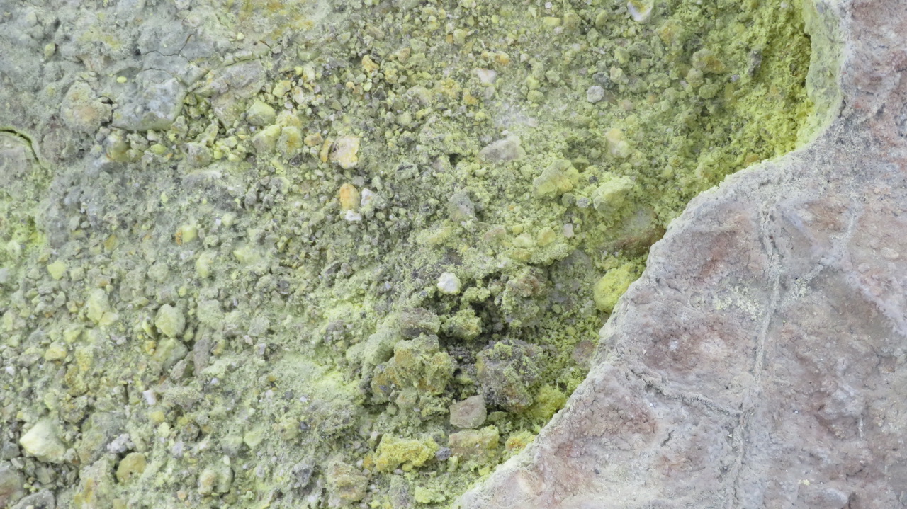
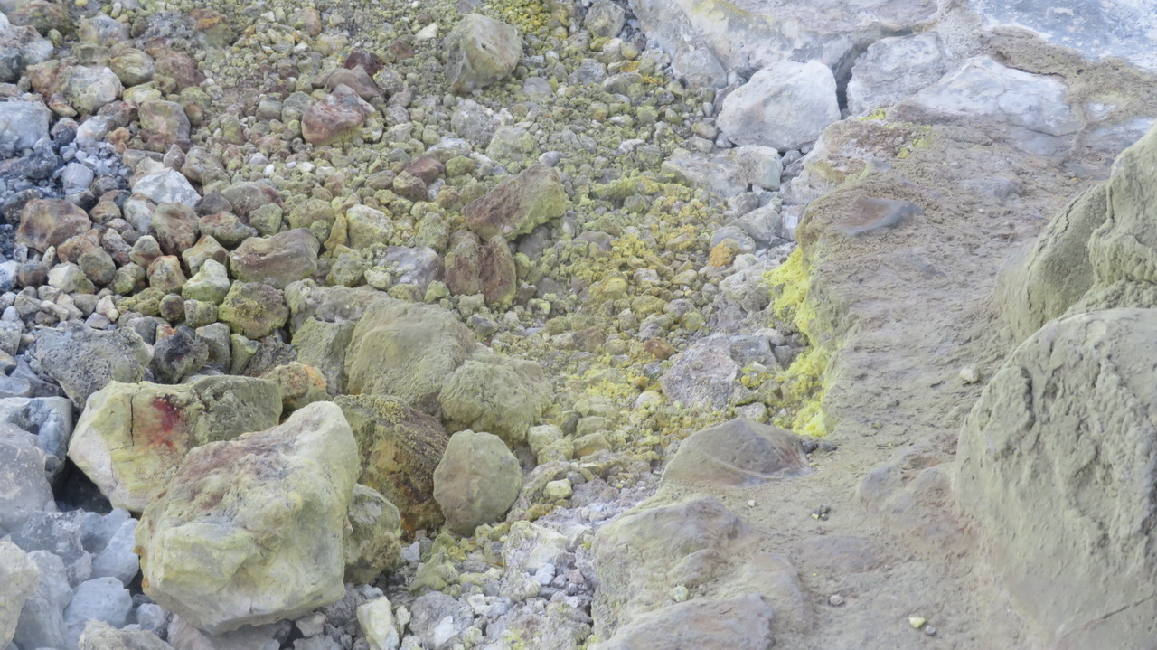
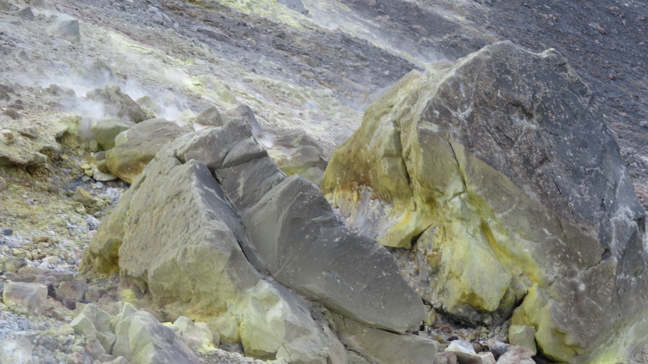
From the rim we can see the summit of the hill and smoke rising from a small area in front of us, just beyond the wooden viewing platform. The last three images in this section show the rocks coated in sulphur.
 |
 |
 |
 |
 |
 |
 |
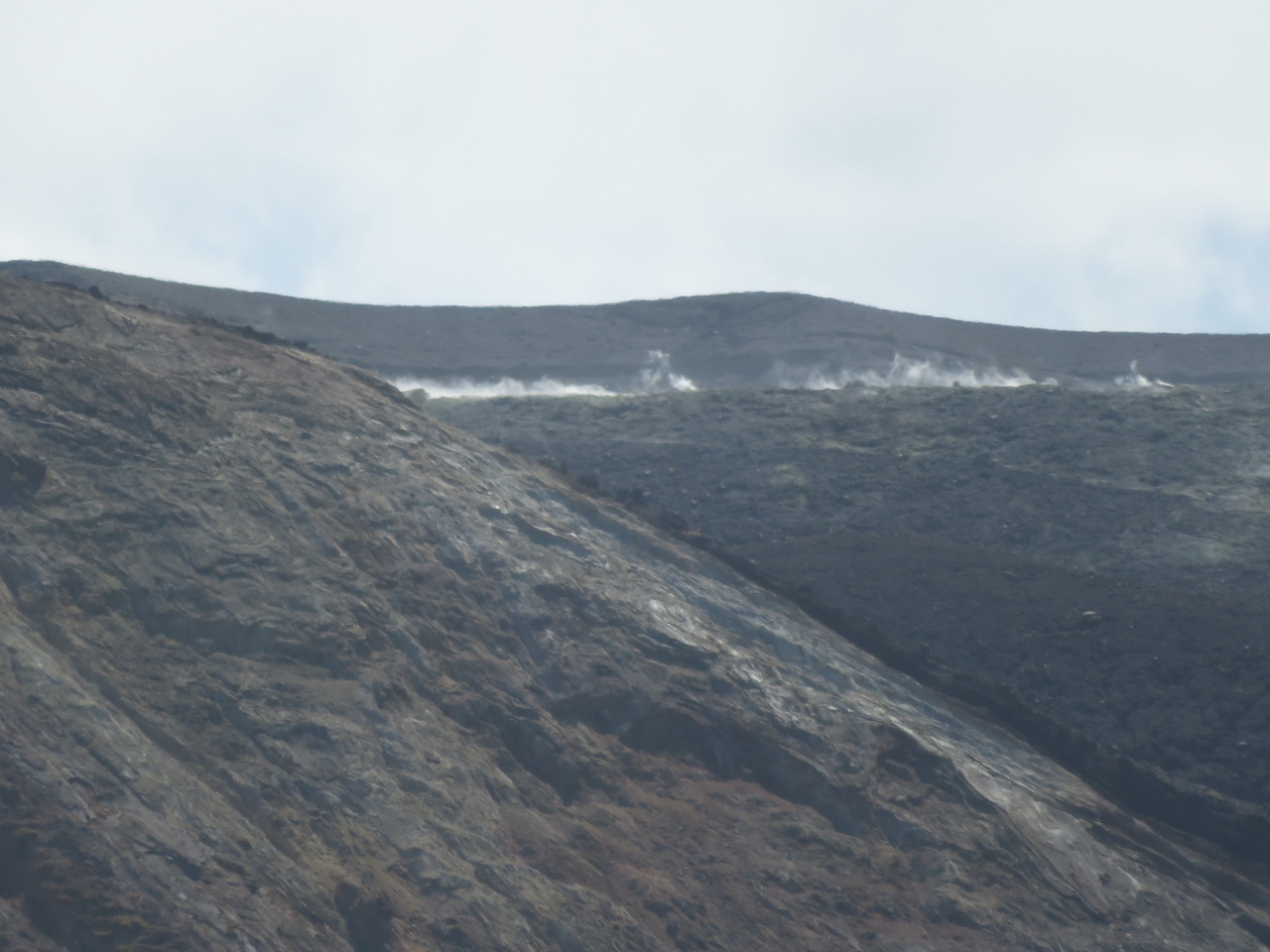
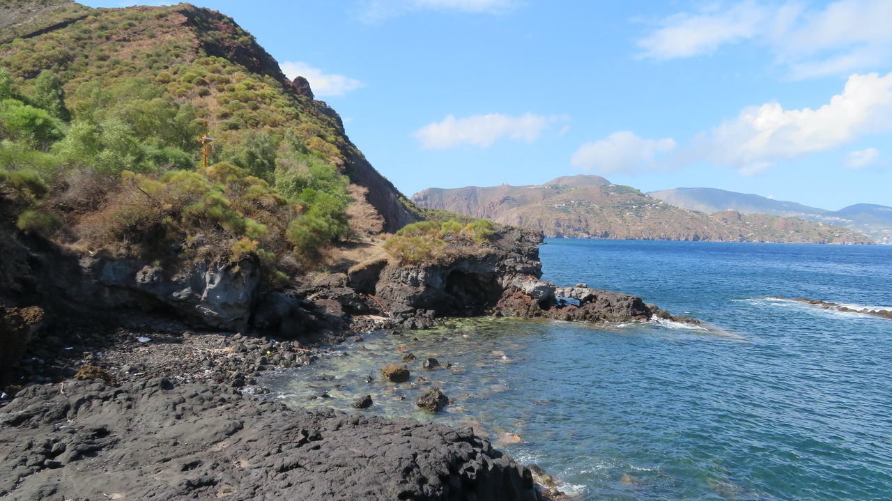
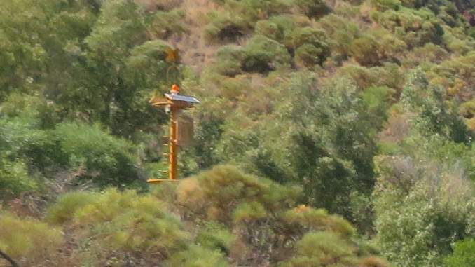
Looking back at the smokey region from lower down, and across to Lipari from the beach, and what's that hiding in the bushes? I didn't notice it when taking the photo.
 |
 |
 |
 |
 |
 |
 |
Tuesday: Back on Lipari
Pumice Mine walk
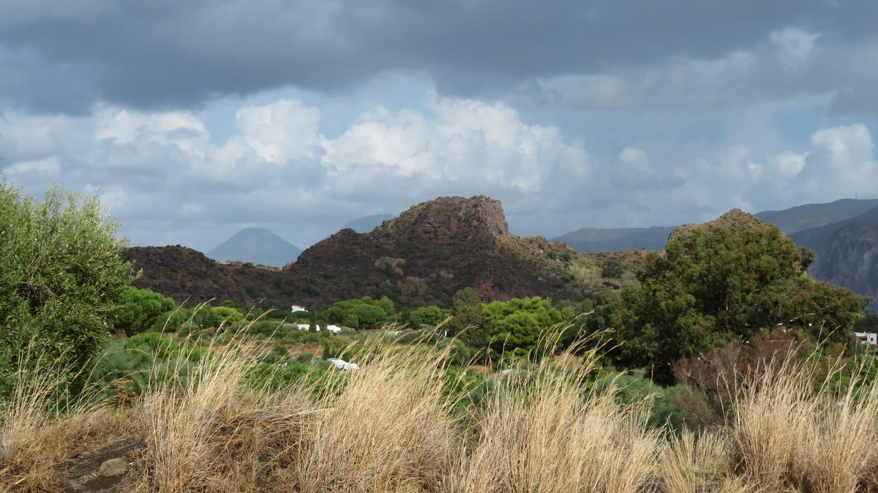
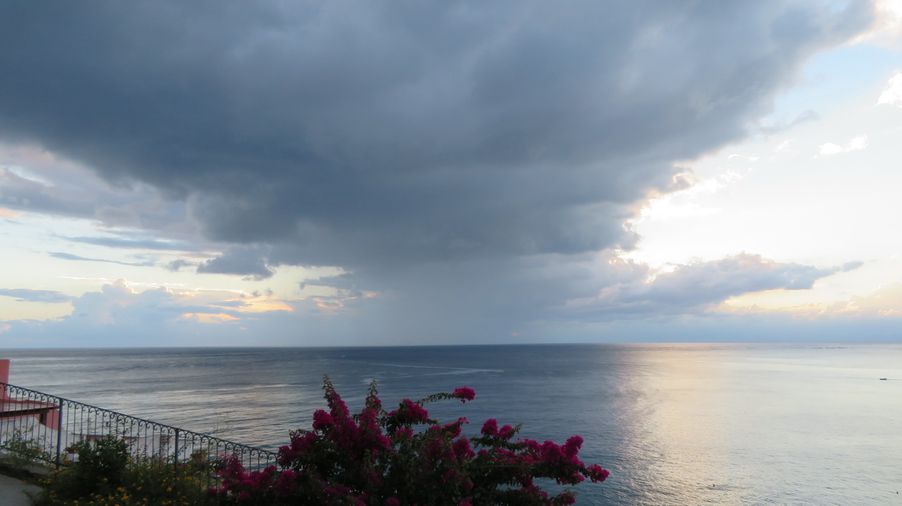
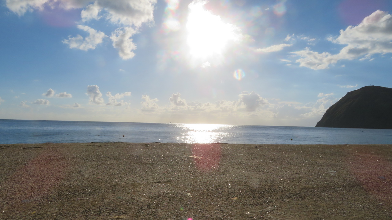
The following morning we went for a walk in the hills North of Canneto to see the (now closed) pumice mines. The day started out with this brooding thunderstorm in the distance, but it passed by and things cleared up.
 |
 |
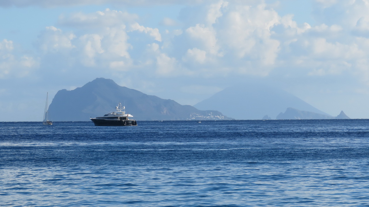
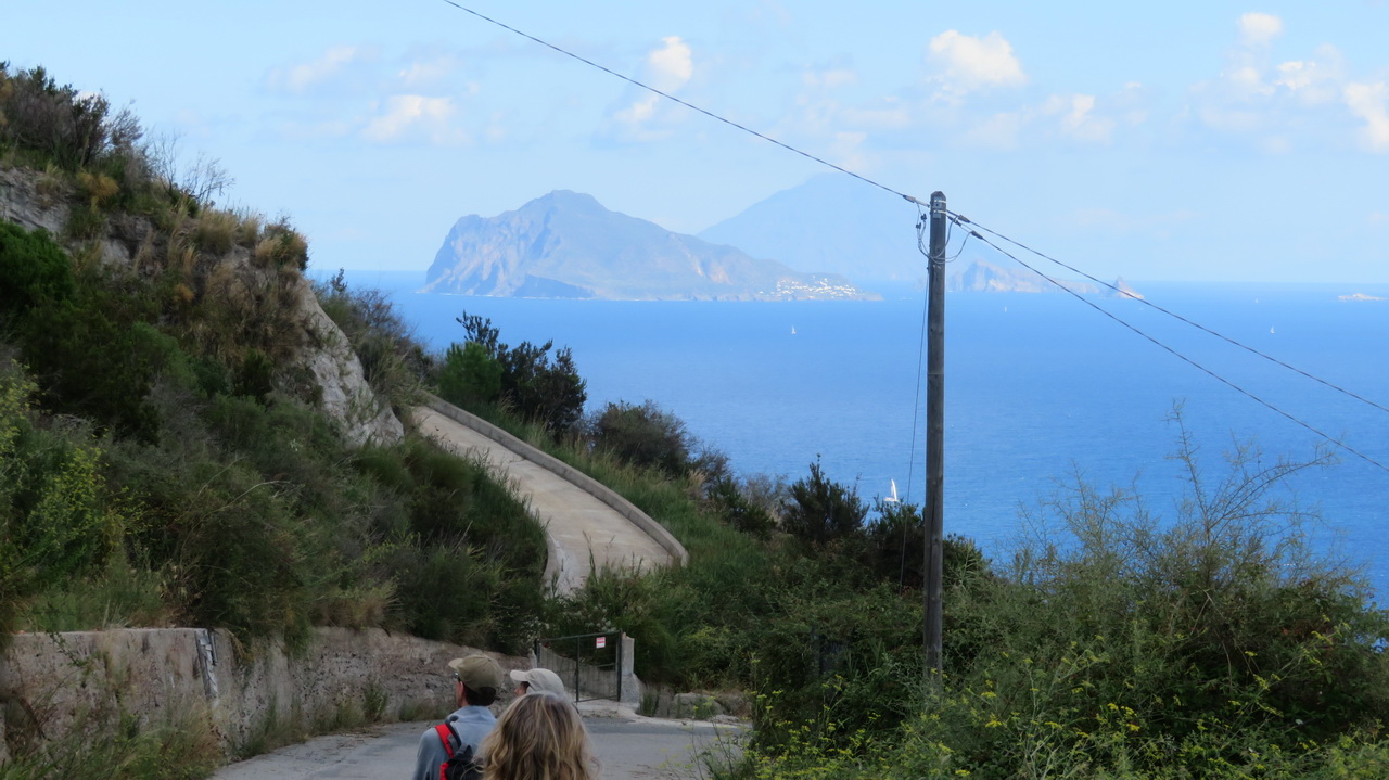
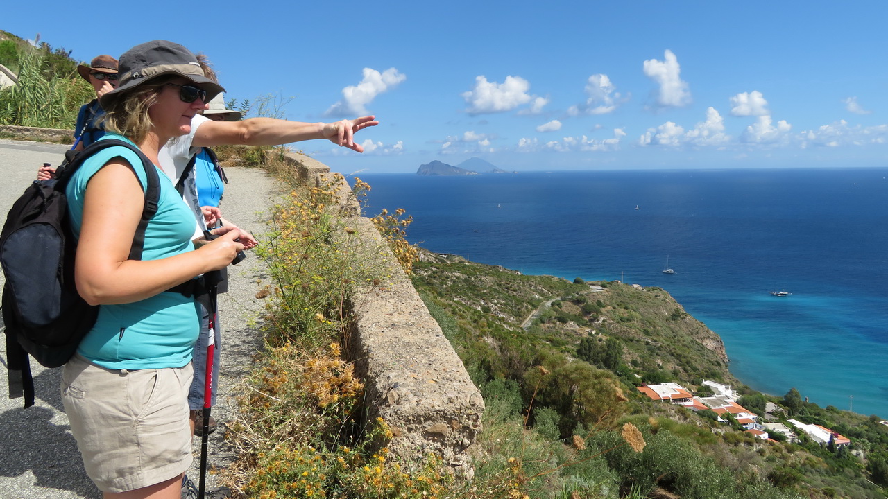
Looking North East towards Strombli (in the distance) we can see the Panarea (left) and some other smaller islands.
 |
 |
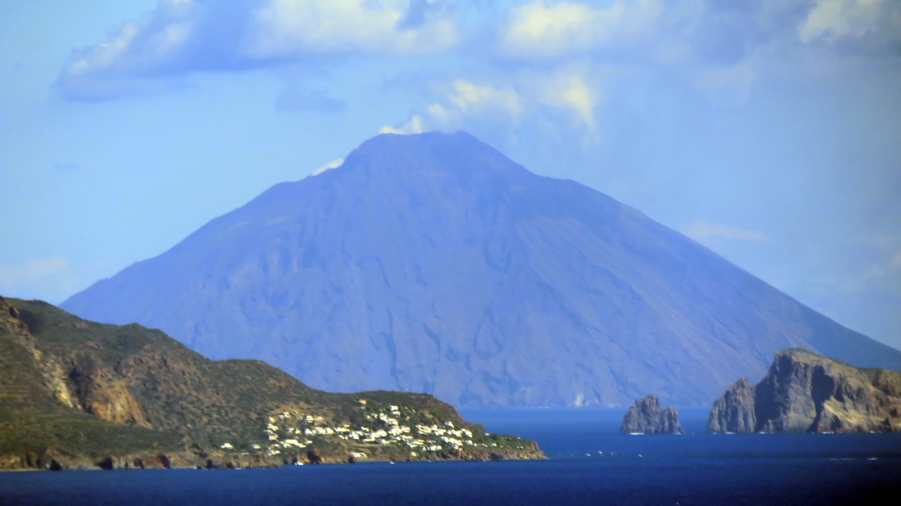 |
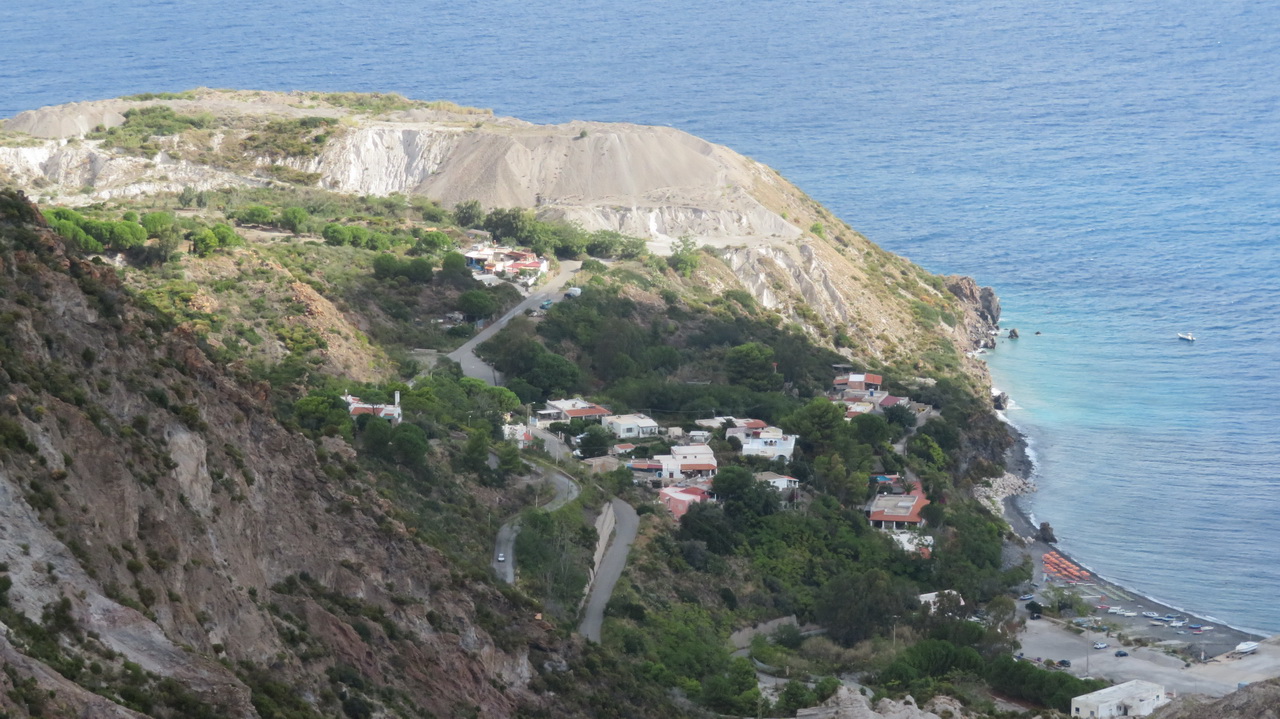
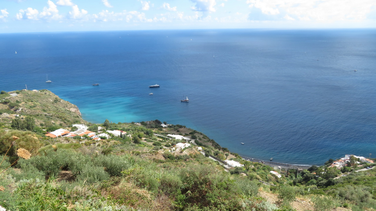
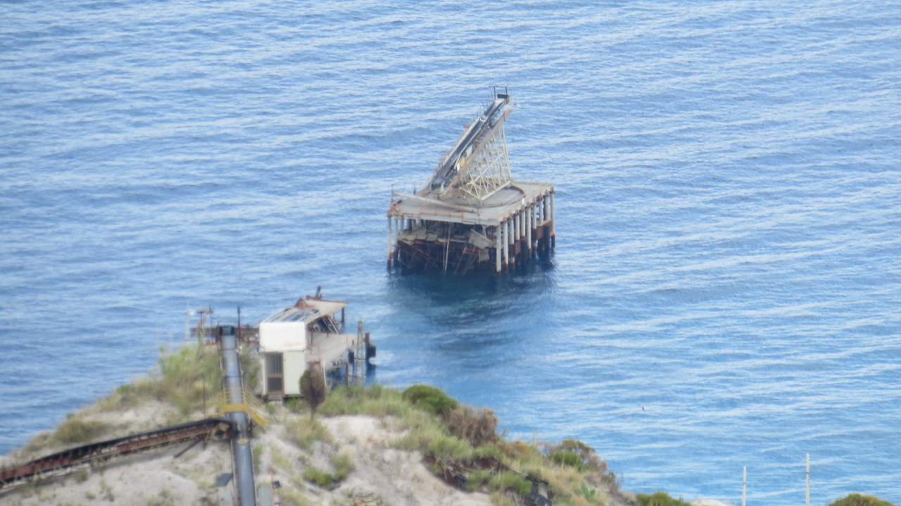
I think this town is Porticello. The associated mine workings look like they are out of use. You can see Stromboli in the background.
 |
 |
 |
 |
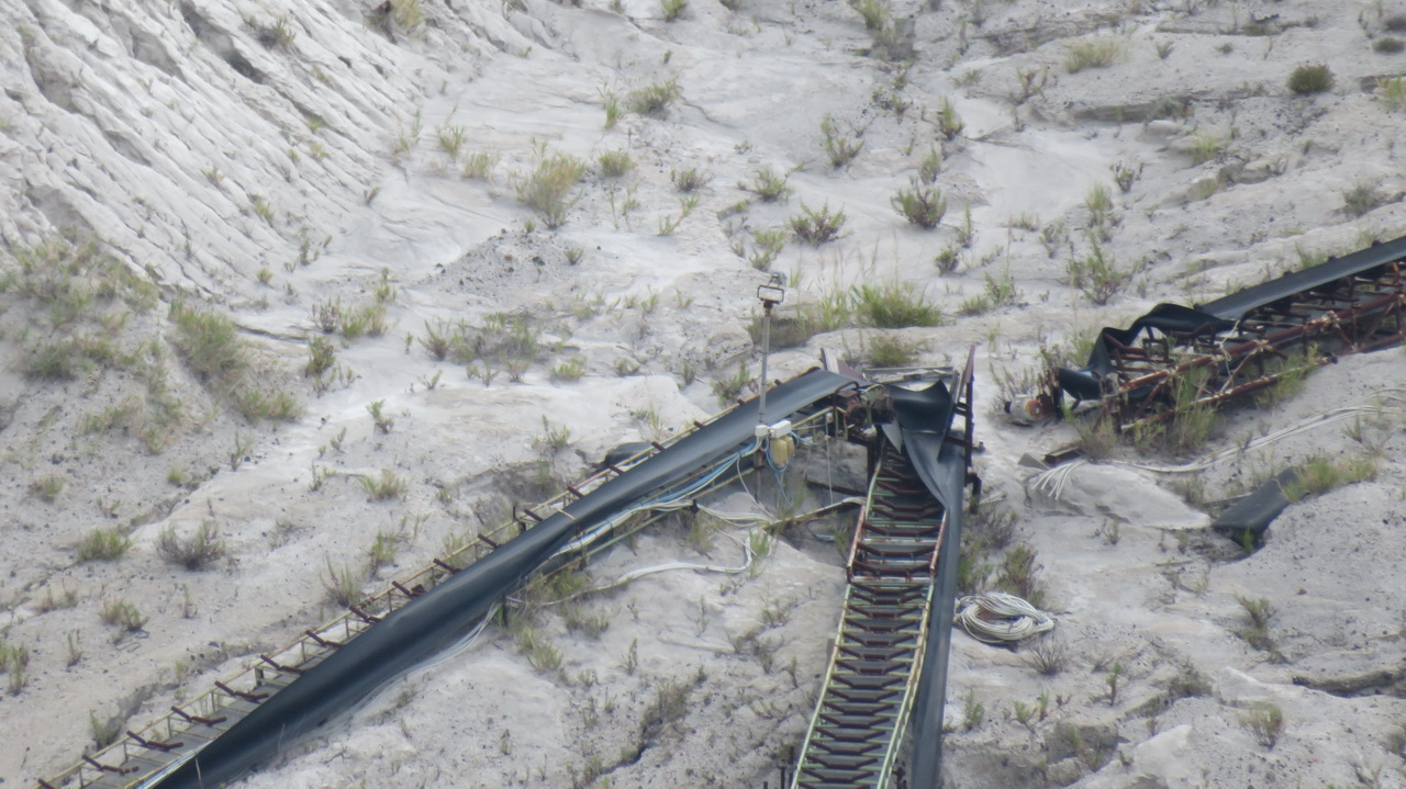 |
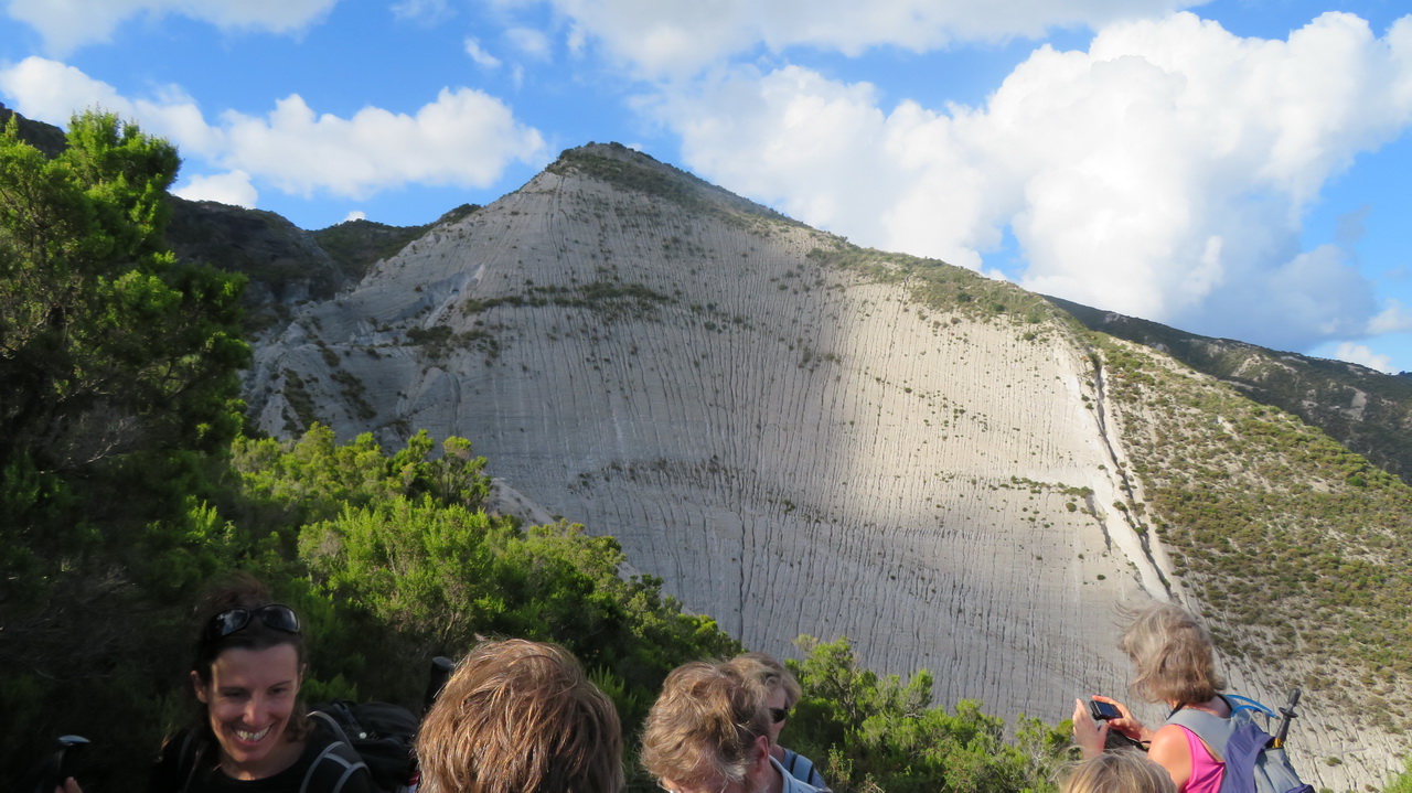
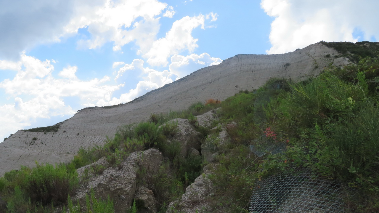
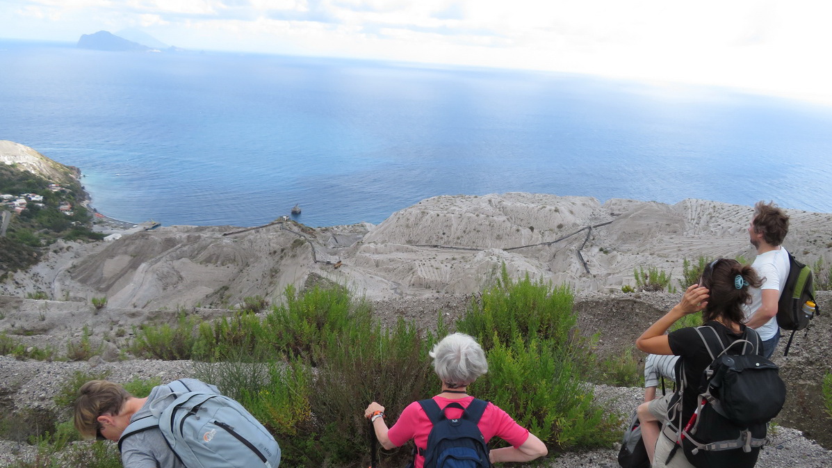
Looking up to the pumice and down to the mine.
 |
 |
 |
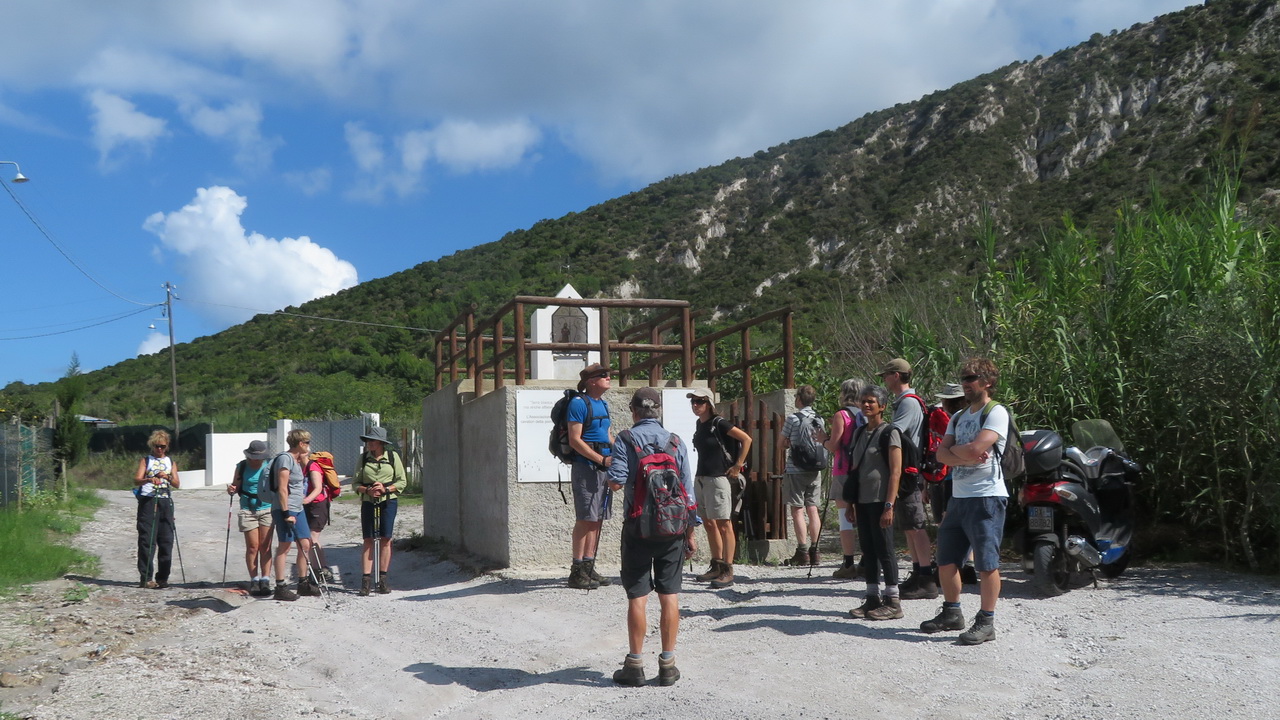
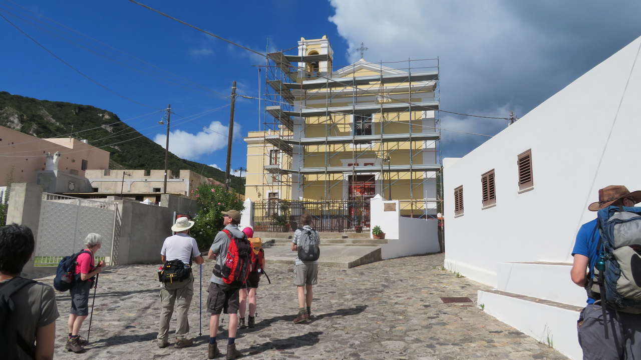
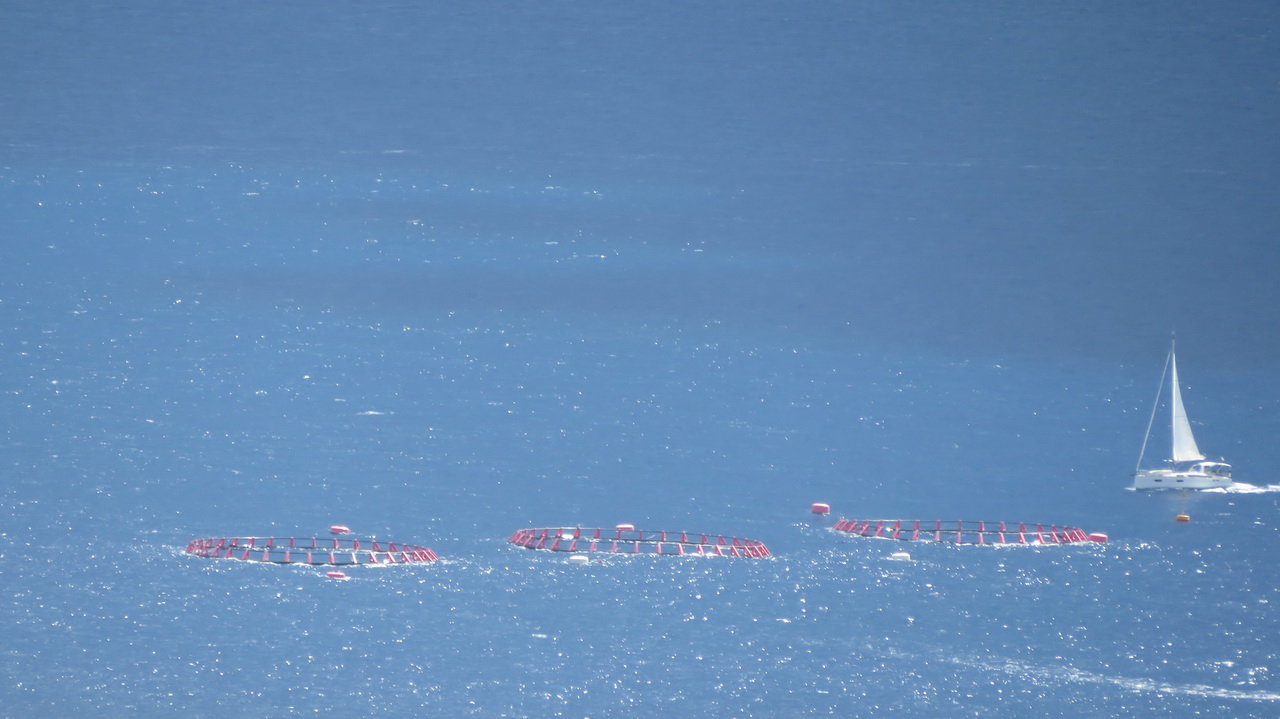
On the way back we visit a shrine to the pumice miners killed from inhaling the dust and an anonymous church. Plus, these strange things floating in the sea off the coast of Canneto.
 |
 |
 |
The Southern Peninsular
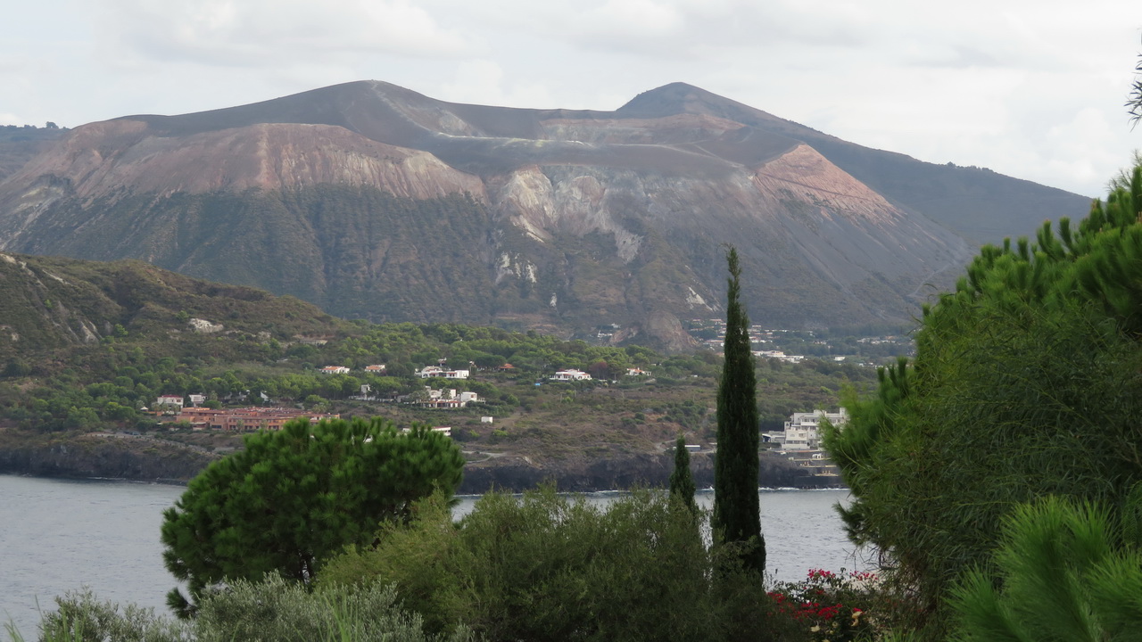
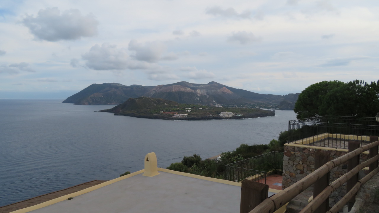
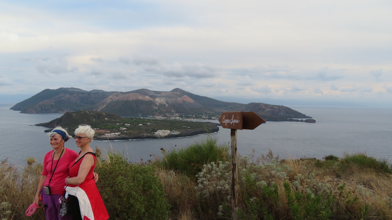
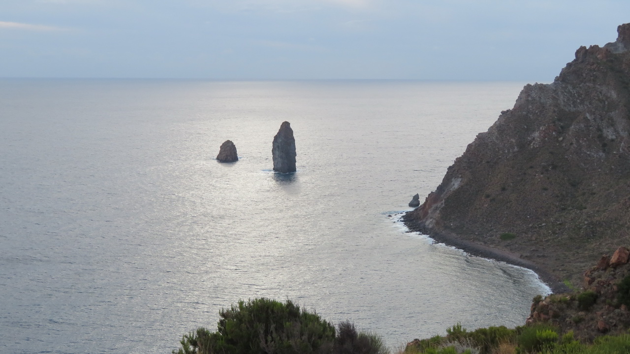
On the afternoom of the pumice mine walk we walked to the South of Lipari so see the views of Vulcano. It wasn't great walking, about 200 metres of ascent, mostly on concrete roads, but there were some good views at the end. You can see pretty much all of the island of Vulccano in these images, the small peak in the forground is Vulcanello, this apparantly appeared in 183 BC and continued growing until 1550.
 |
 |
 |
 |
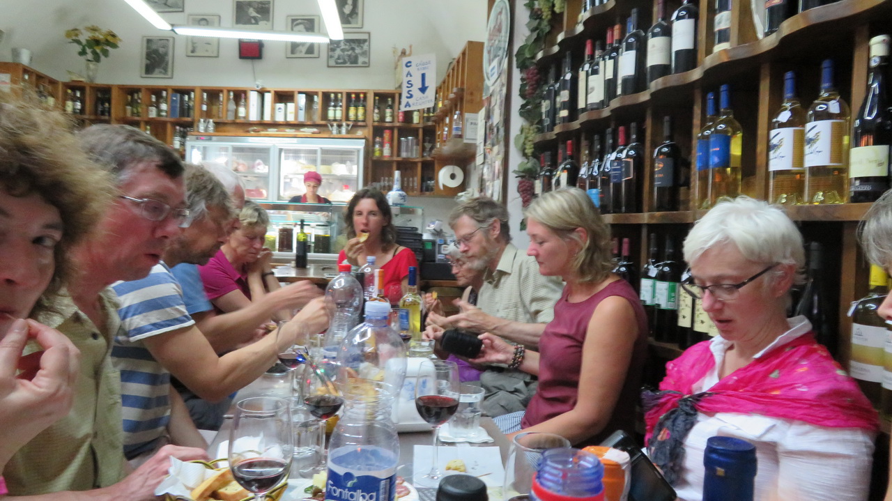
Wine tasting
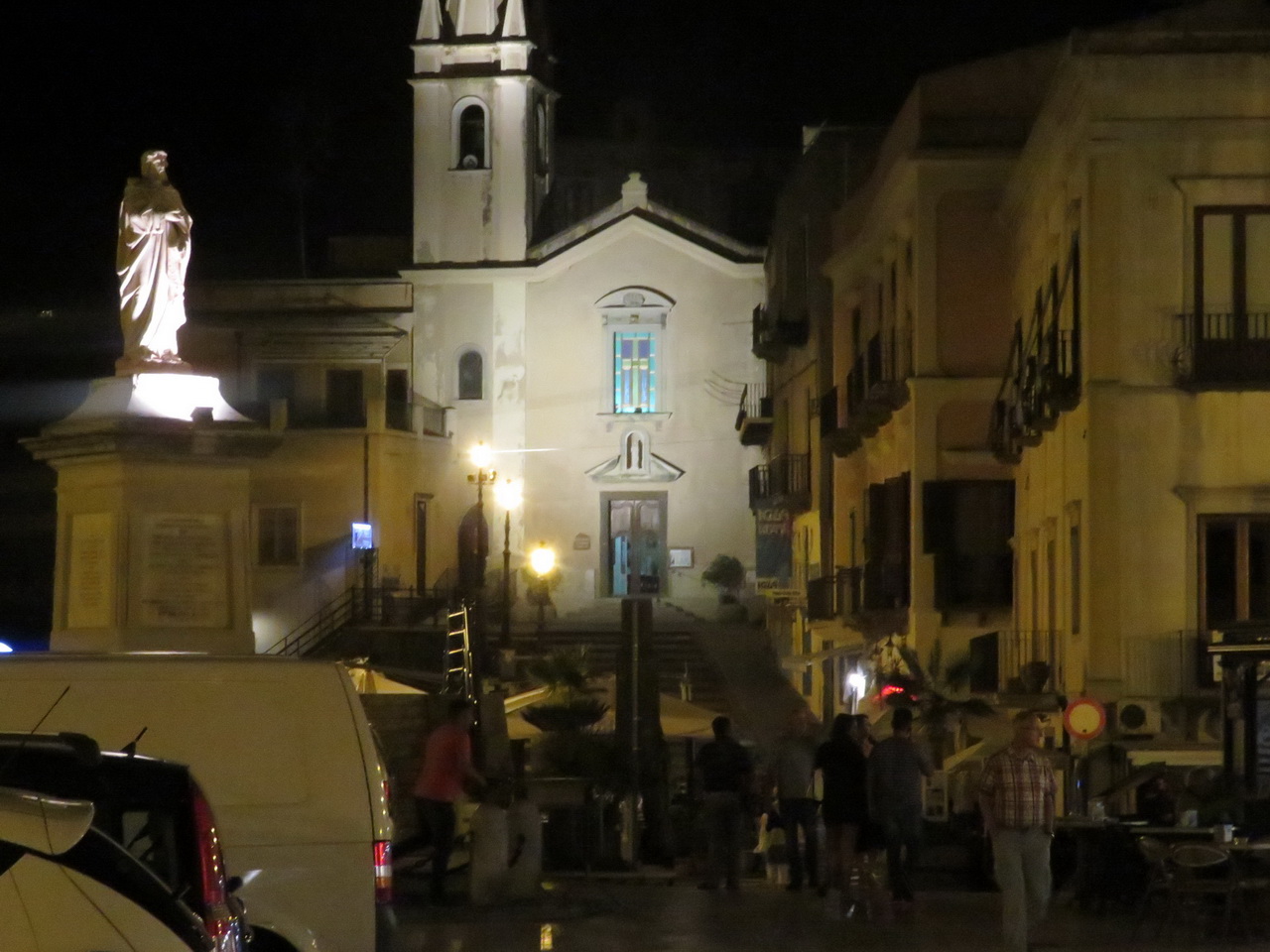
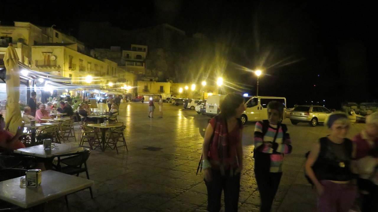
That evening we went to a wine tasting in Lipari and had a look around the towm.
 |
 |
 |
Wednesday:
Lipari Museum
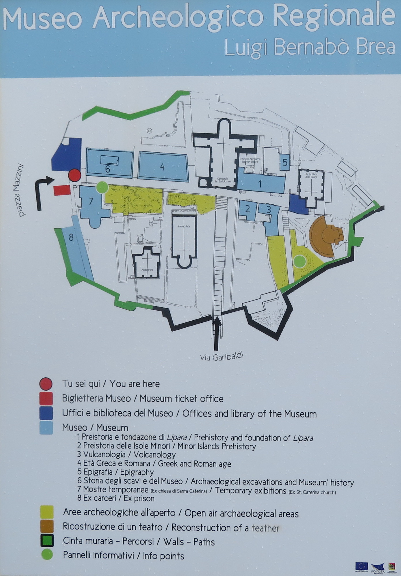 |
The plan was to sail to Stomboli the next morning, but weather forcast for Stromboli was poor so we stayed longer on Lipari, visiting the museum. |
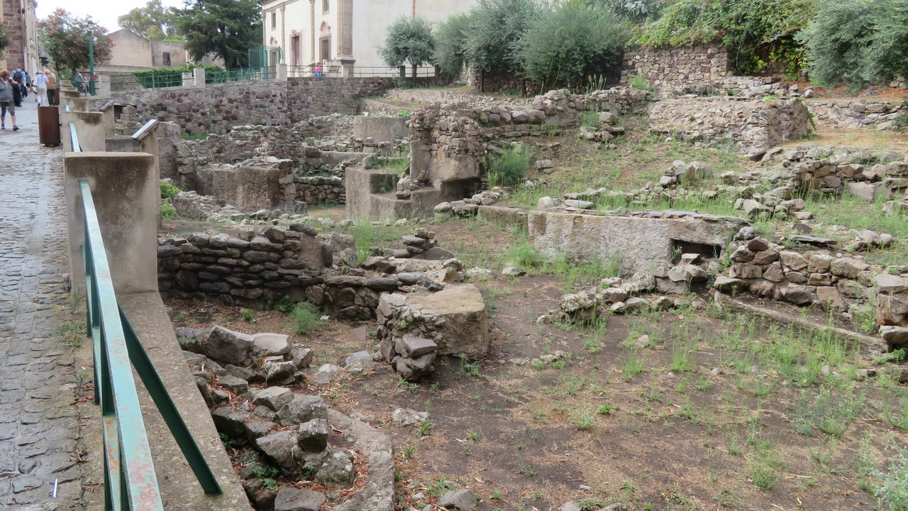
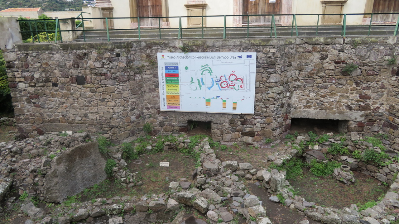
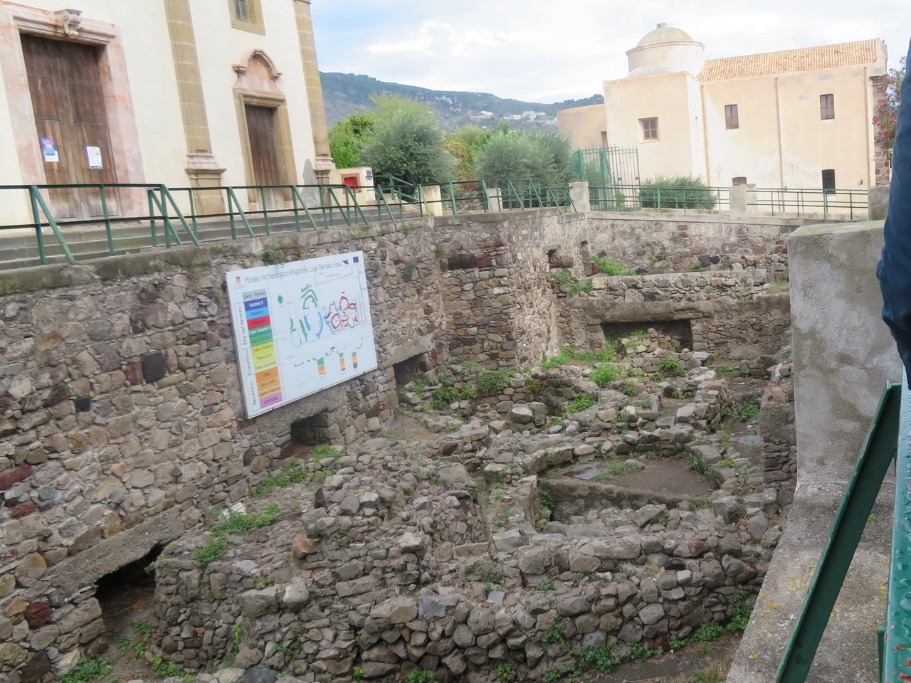
Ancient ruins, the green areas outside gallery 5 on the map.
 |
 |
 |
The cathedral, inside and looking back up the main approach, via Garibaldi.
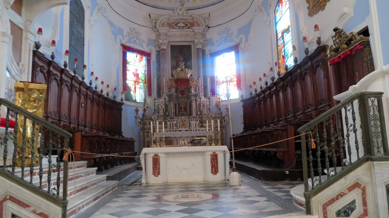 |
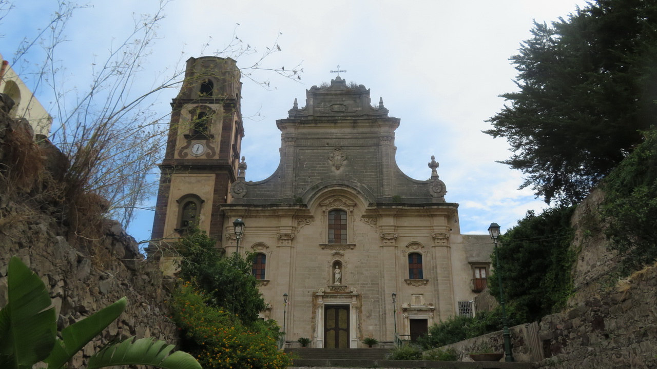 |
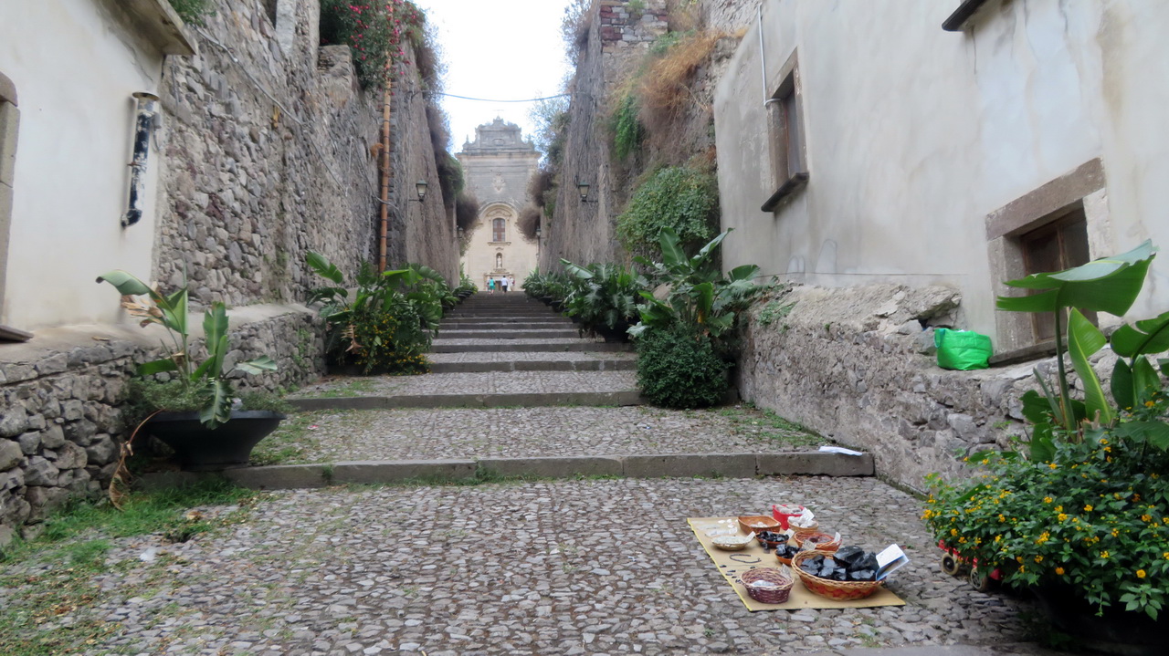 |
These cloisters are accessed through the prehistory gallery, no 2 on the map.
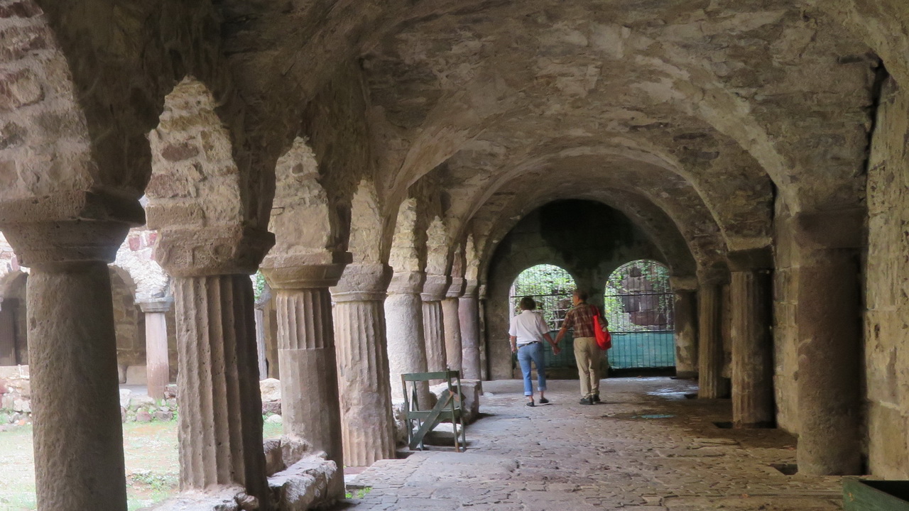 |
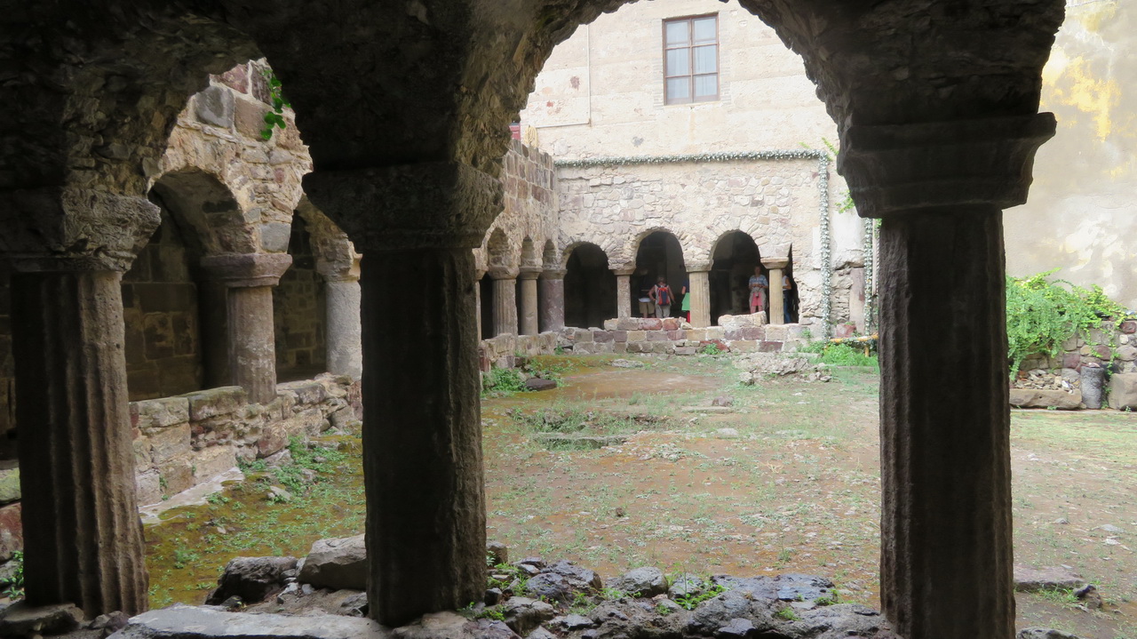 |
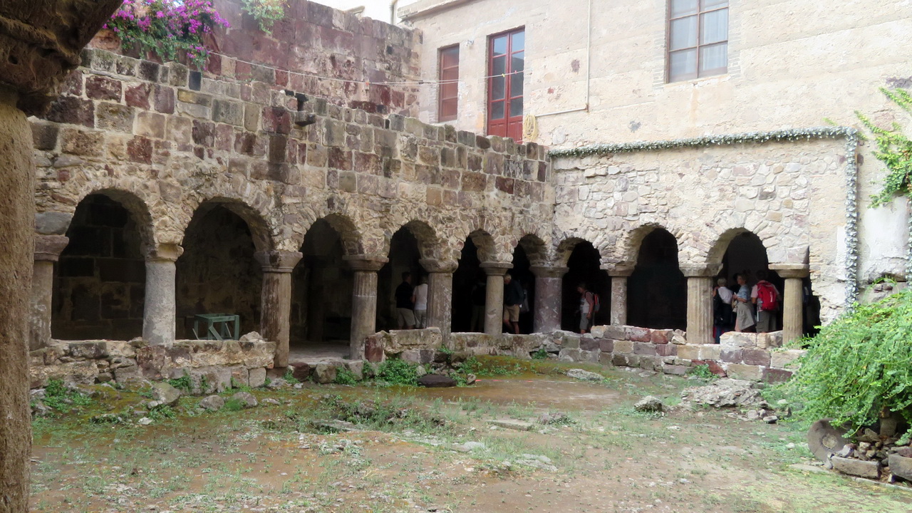 |
Travel to Stromboli and the evening
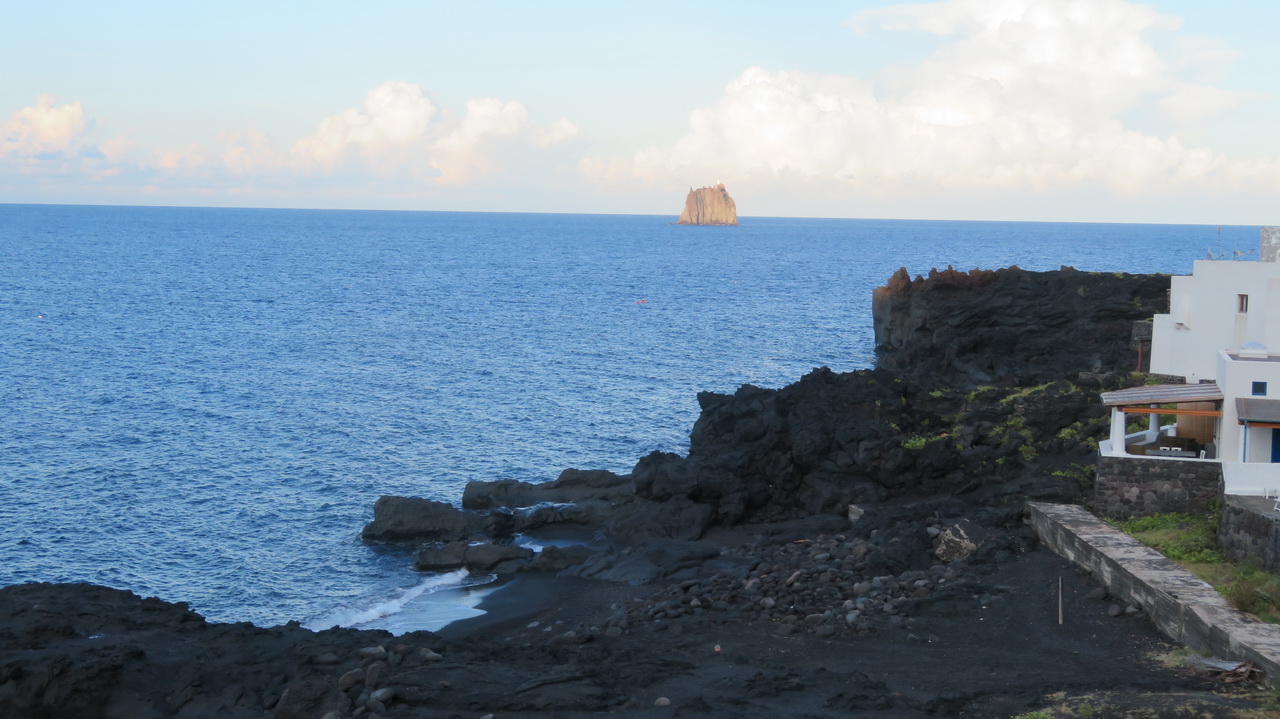
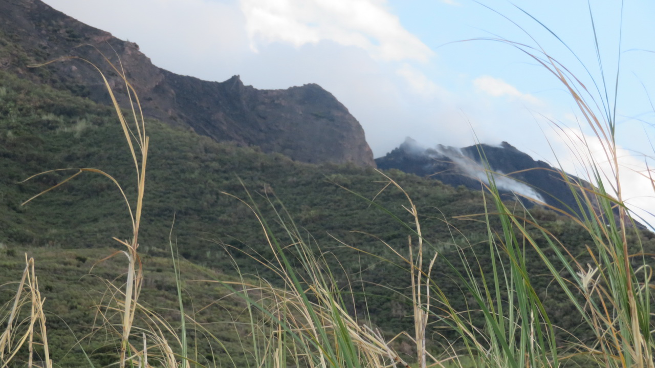
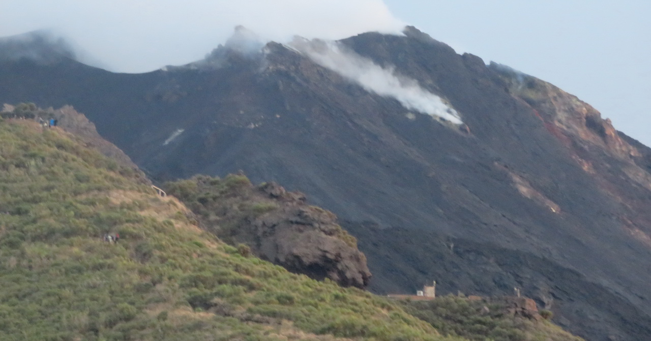
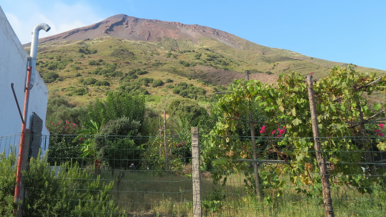
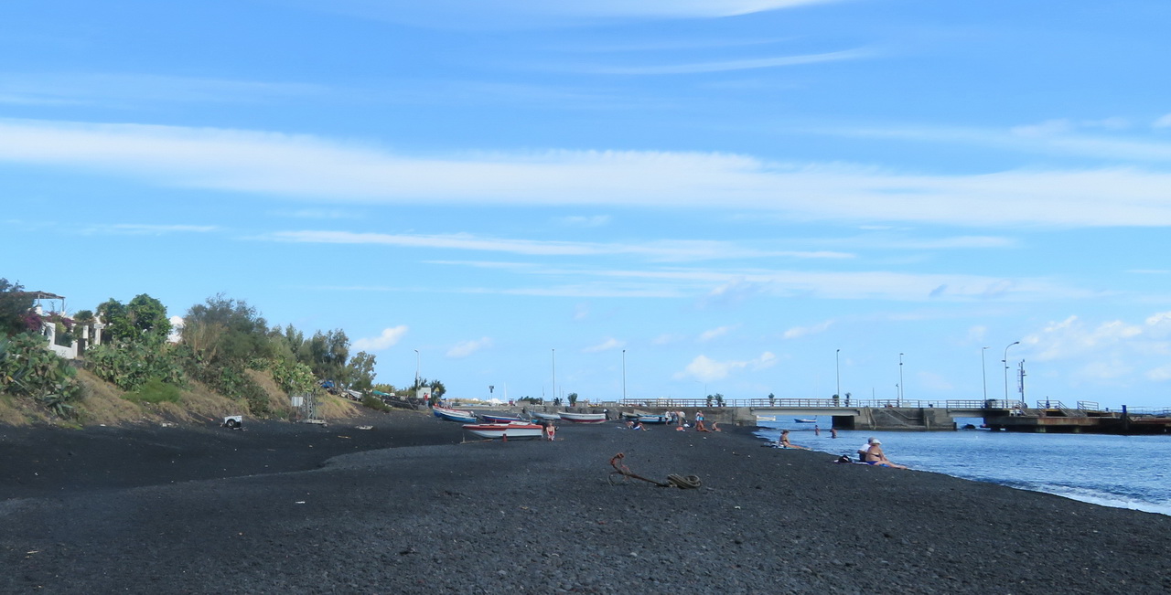
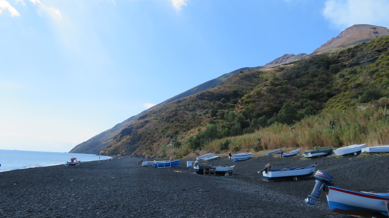
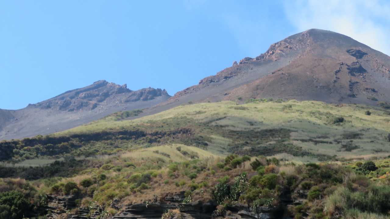
Because of our late depature from Lipari we didn't get to our accommodation till about 4pm. The first two images are from the ferry window, the remainder are scenic shots from around the town of Stromboli. I think the building on the hill in the fifth image is the Osservatorio, a restaurant where we ate later. The grey smoking area behind it is the "Sciara del Fuoco". The original plan for the afternoon was to visit the "Sciara del Fuoco Viewpoint" but with local sunset being about 7pm we didn't have time.
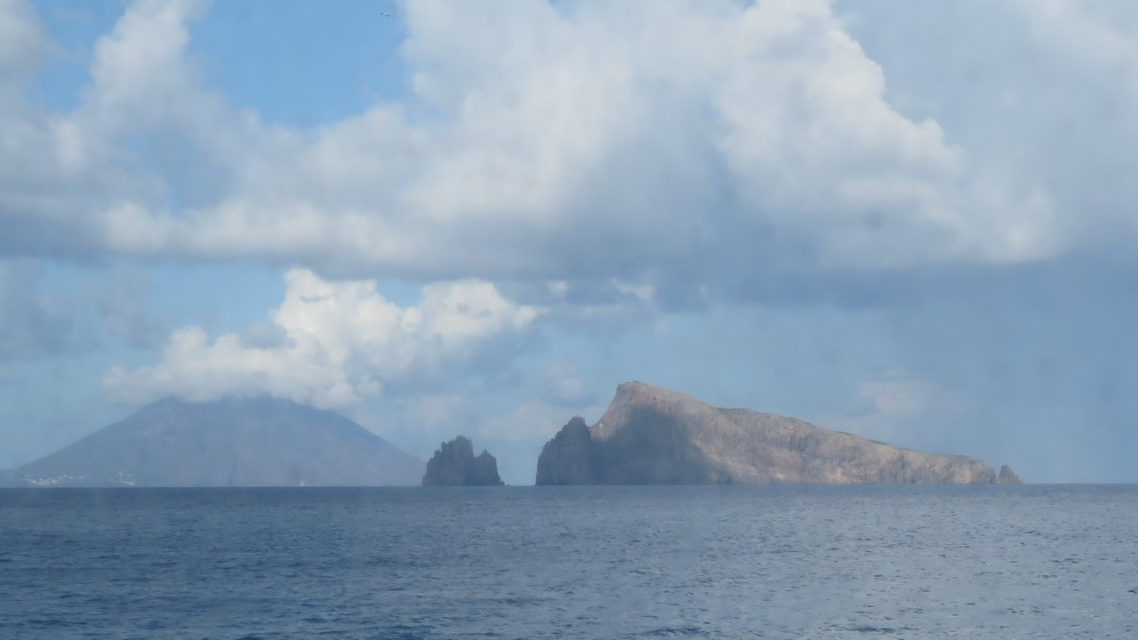 |
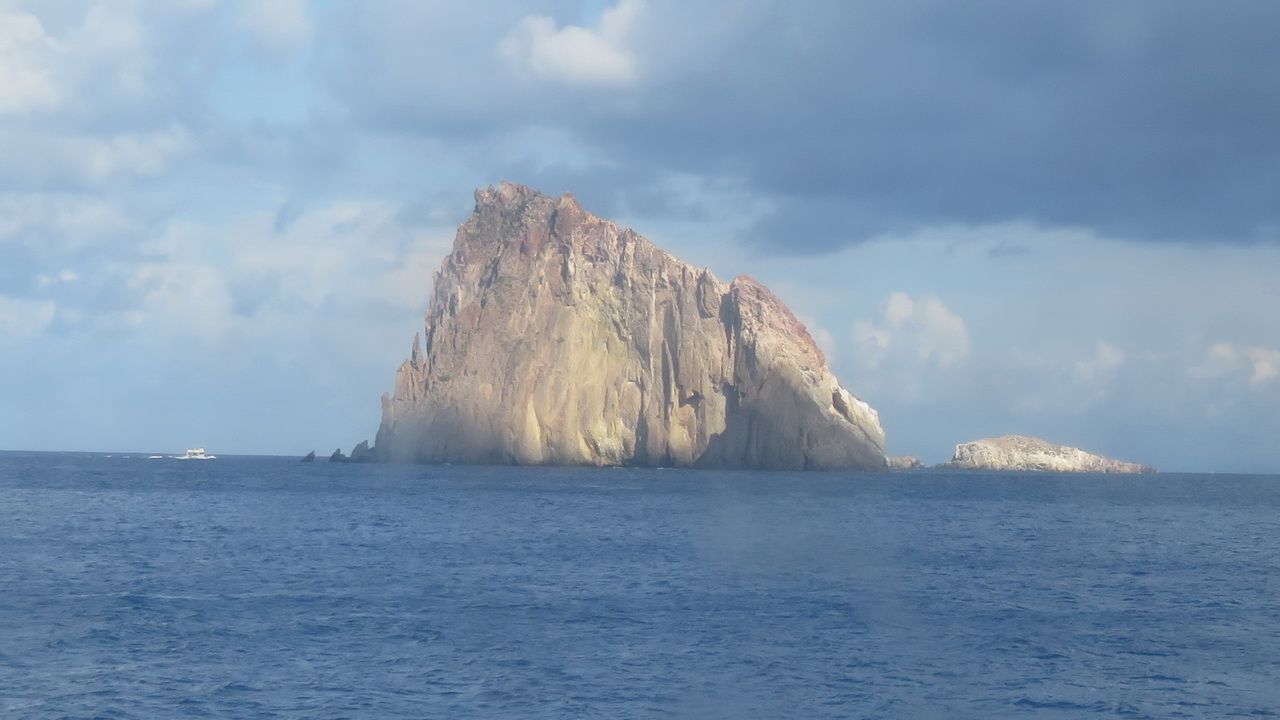 |
 |
 |
 |
 |
 |
 |
 |
 |
A (not very good) video (on YouTube) of a couple of eruptions seen from the observatory path and restaurant. |
Thursday:
Climbing Stromboli
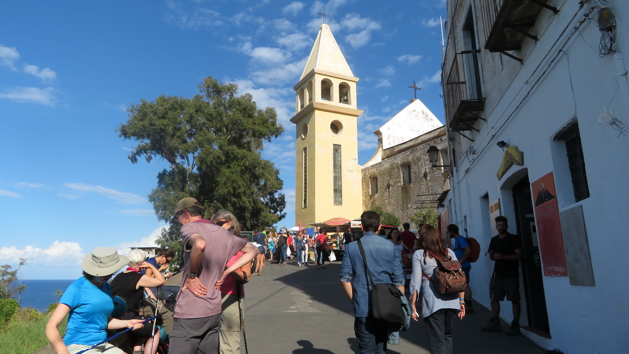
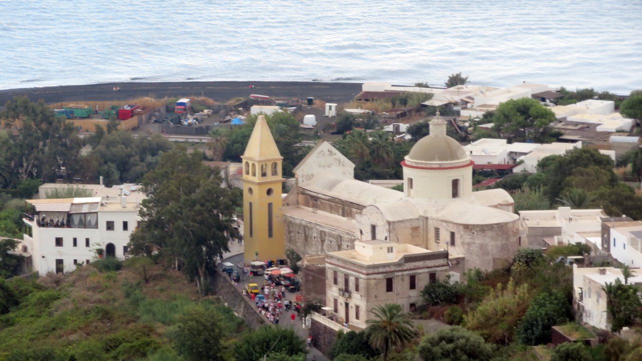
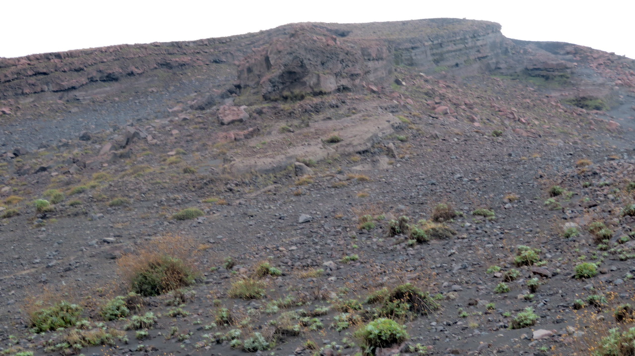
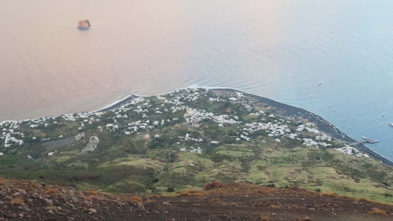
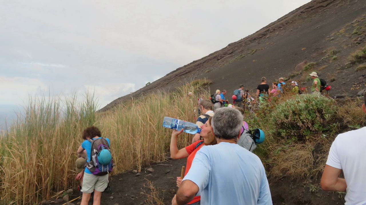
You need guides to climb Stromboli. We set out from the guides' hut around 4:30 in the afternoon, a little to late in my opinion, as sunset is at 7pm. The hut is close to the main square where you can see the Chiesa di San Vincenzo. The second image shows the church from a little further up the mountain. The fourth image shows the whole of the town from a lot further up, you can just make out the Chiesa close to the centre.
 |
 |
 |
 |
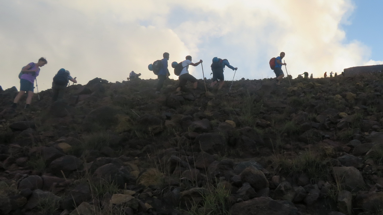
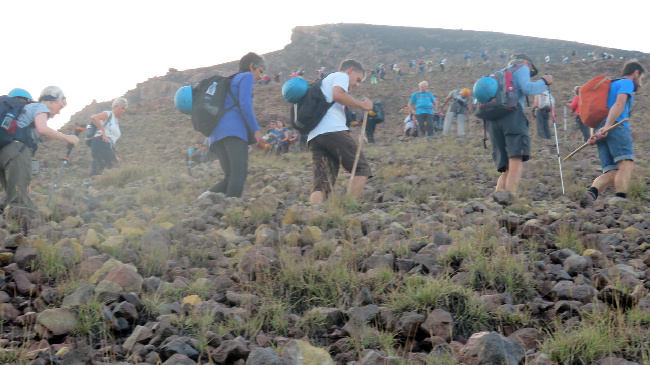
There was a whole army climbing the volcano that day, organised into groups of about 20.
 |
 |
 |
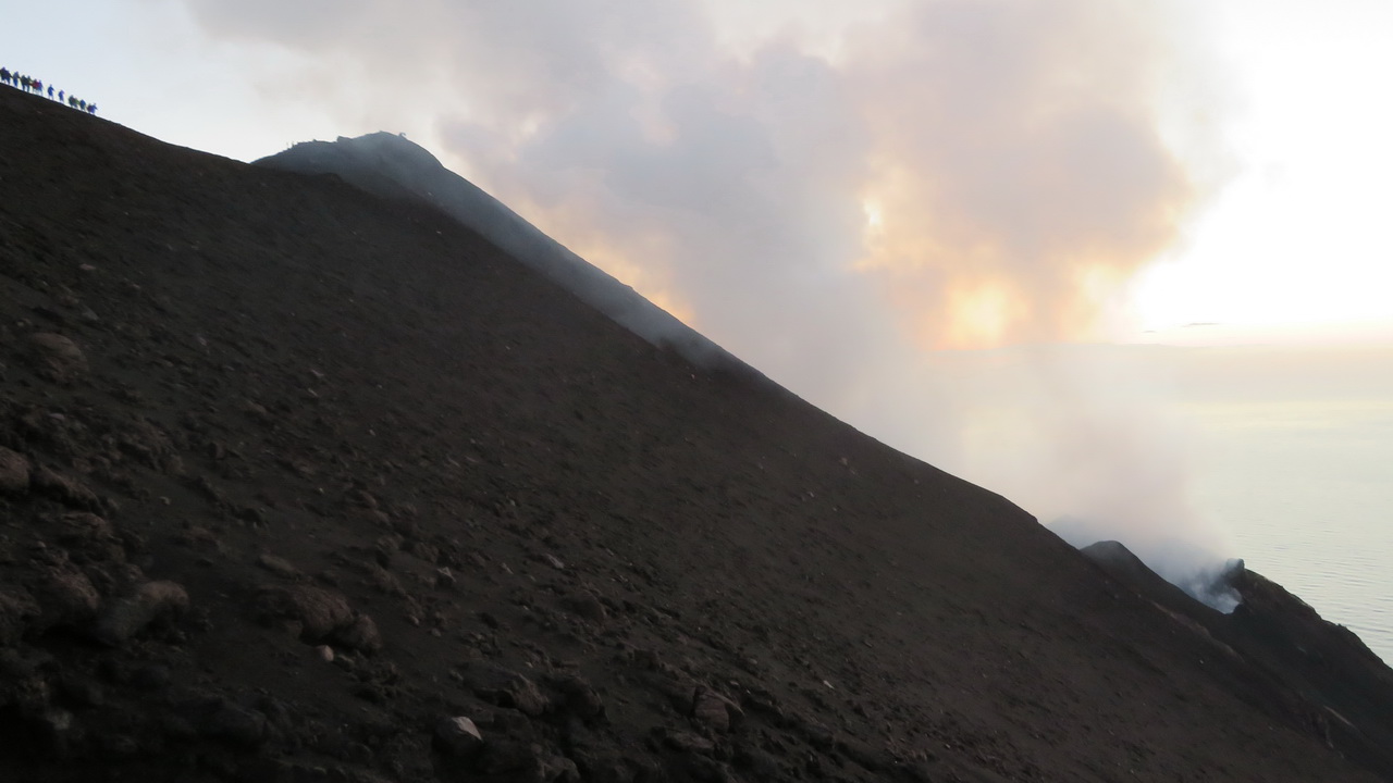
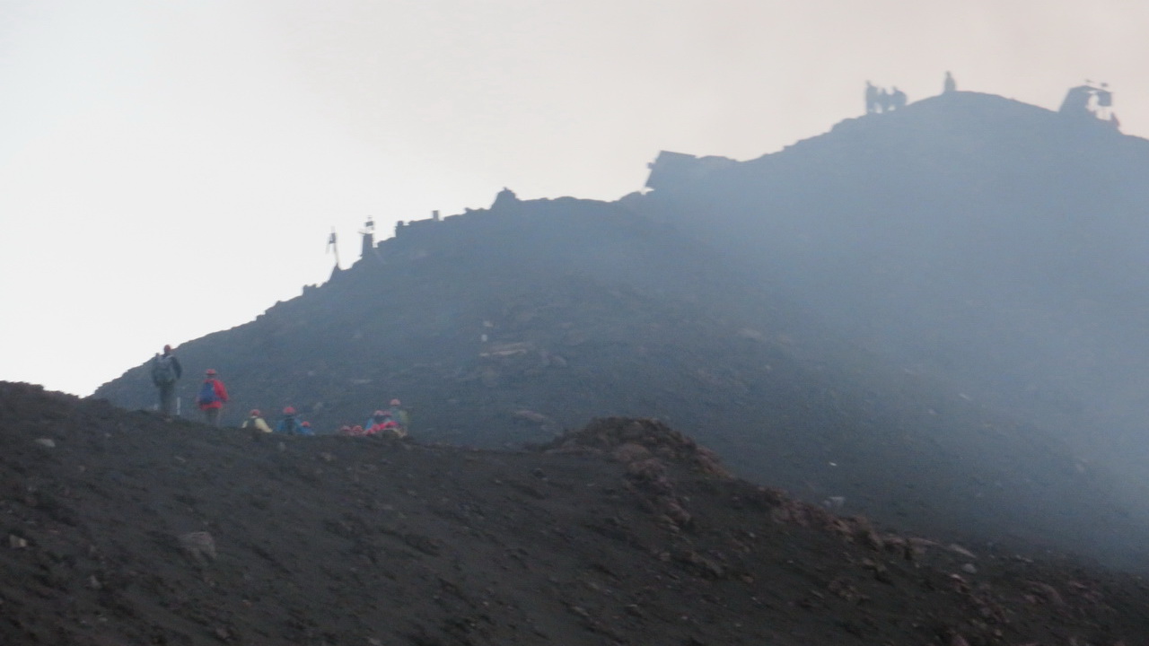
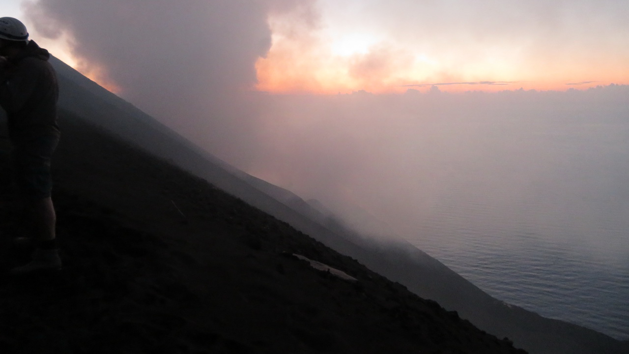
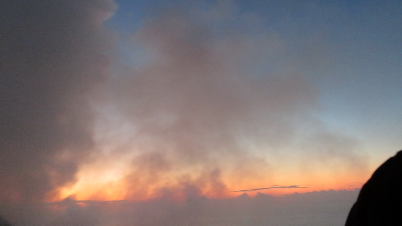
The sun set before we got to the top so we never got a good view of the crater.
 |
 |
 |
 |
The Crater
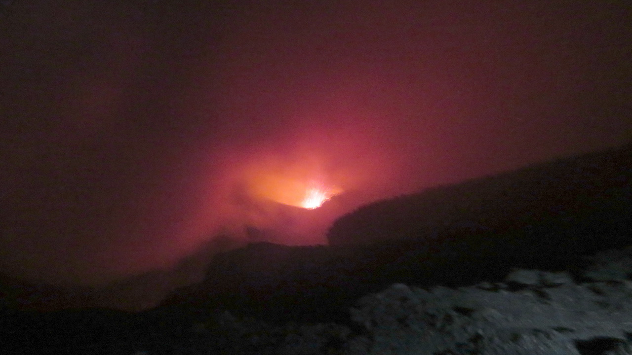
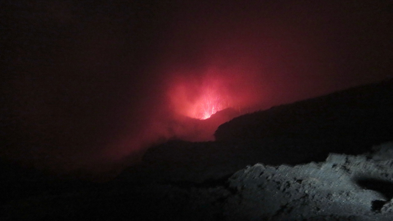
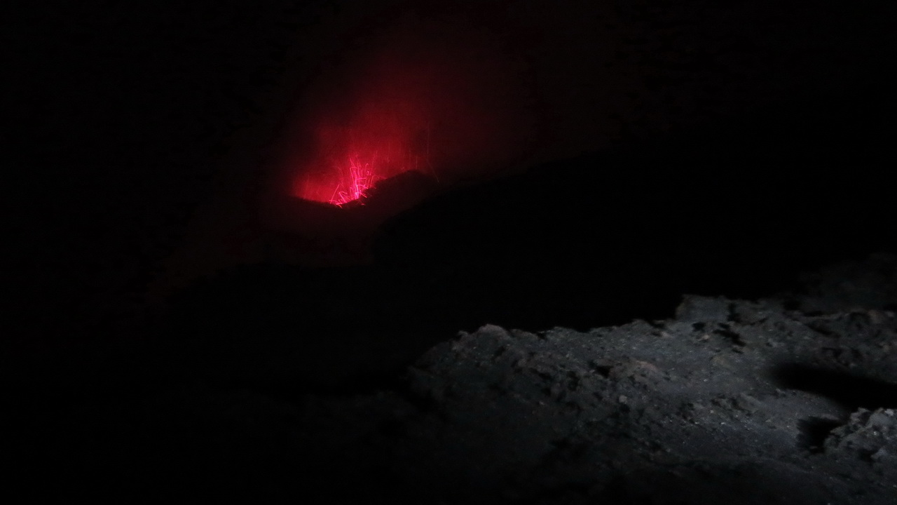
The only light was from people's head torches.
 |
We spent about an hour standing around the crater and managed to get a few shots of eruptions, they were difficult to capture as you couldn't predict where the next one would come from.
 |
 |
 |
 |
 |
I've made a short slideshow of the eruptions, posted on YouTube. |
Friday: Taormina and ariving at Etna
Taomina
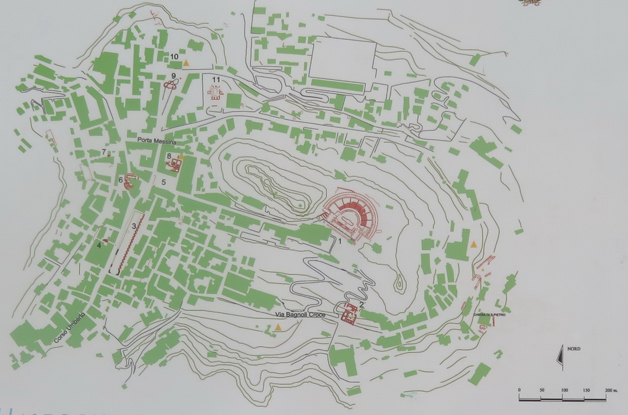
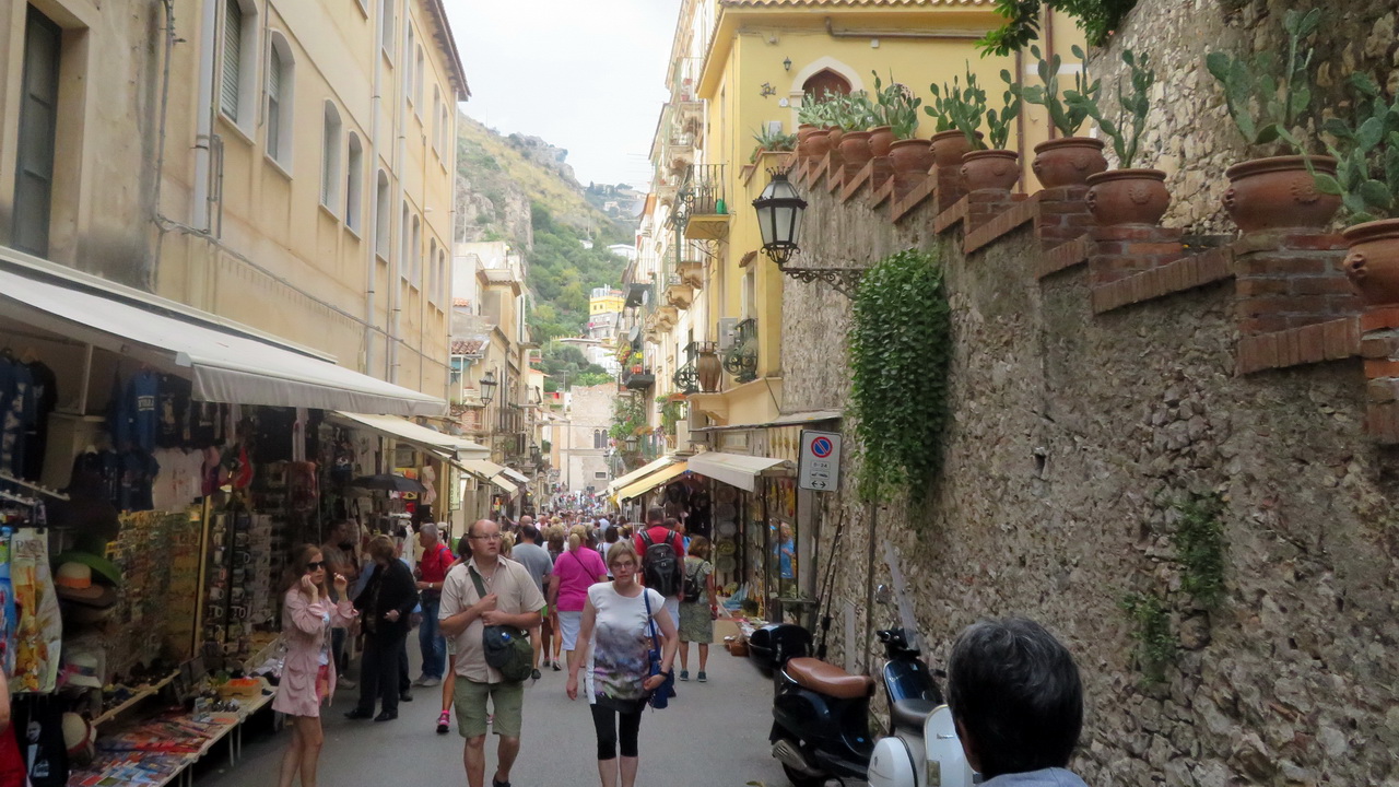
The town has some monuments, the Greek theatre being very popular, as well as lots of shops and restaurants.
 |
 |
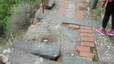 |
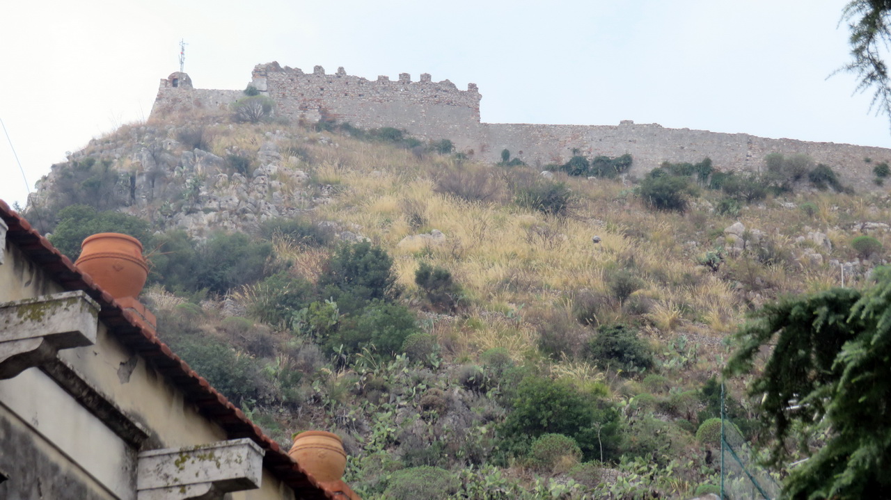
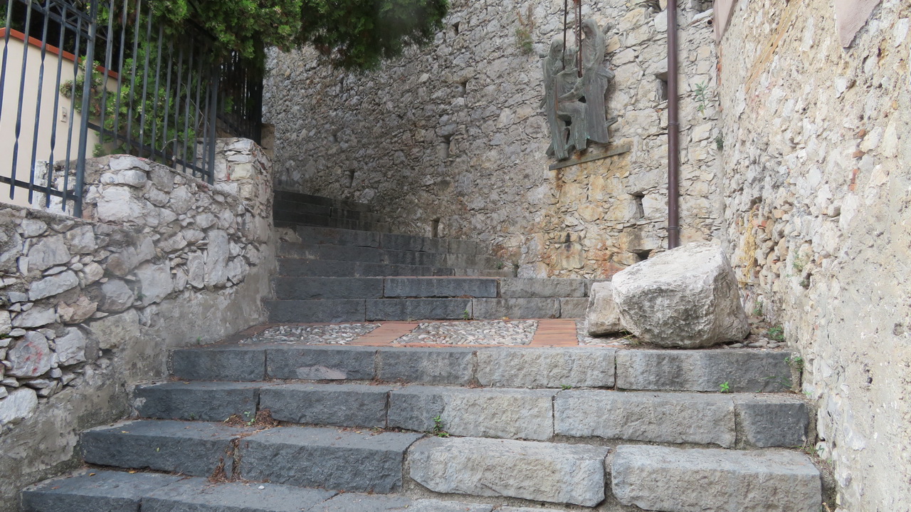
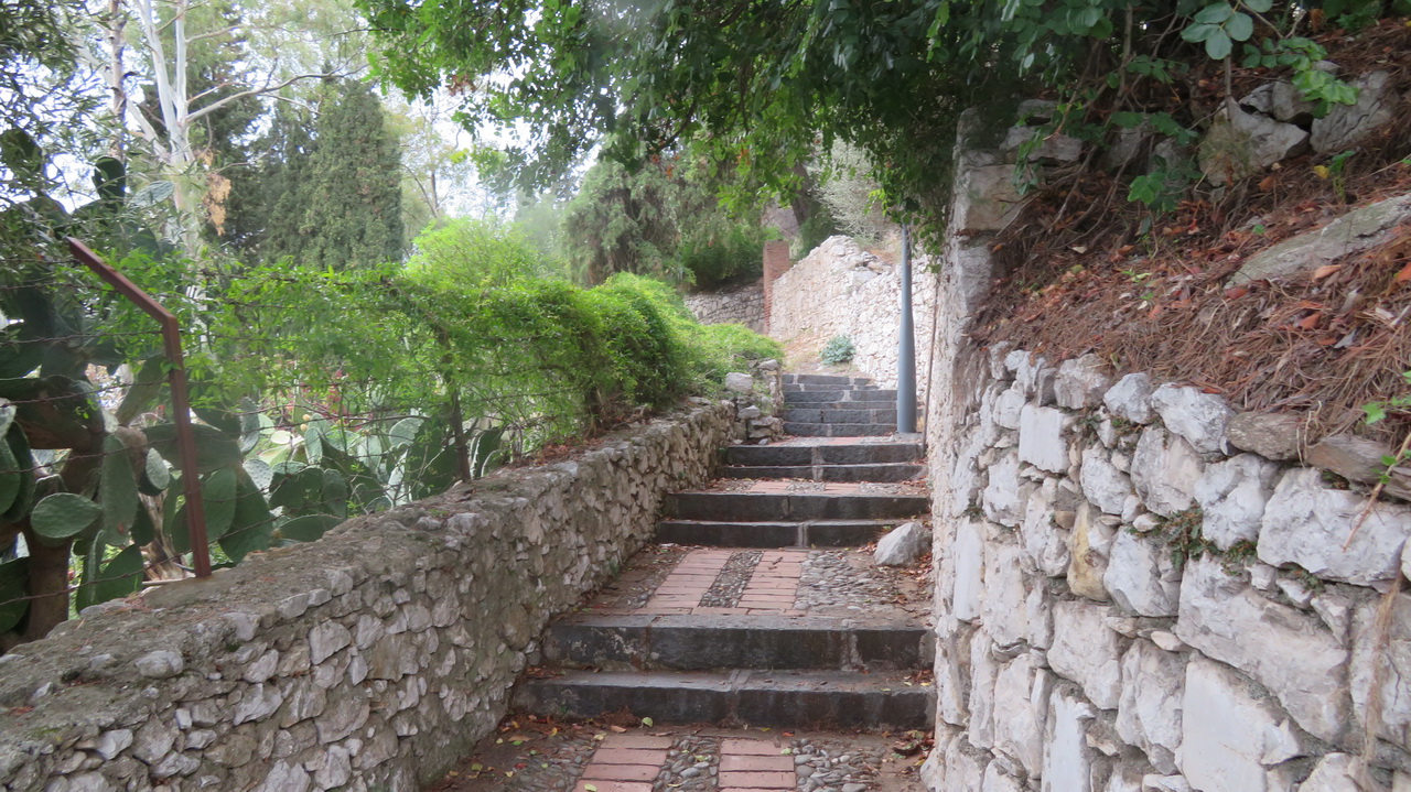
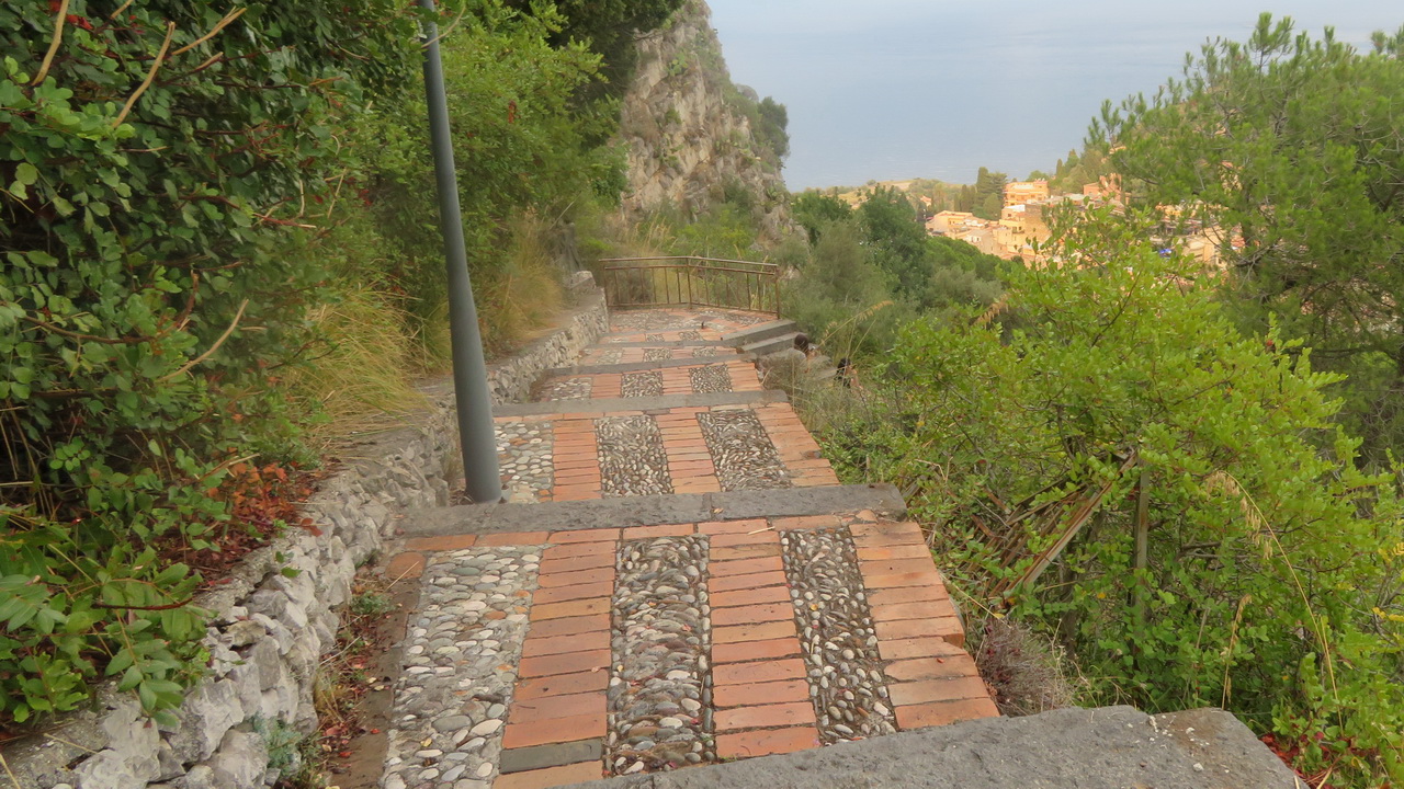
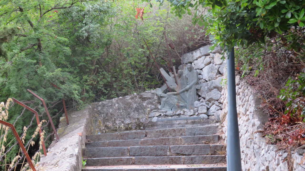
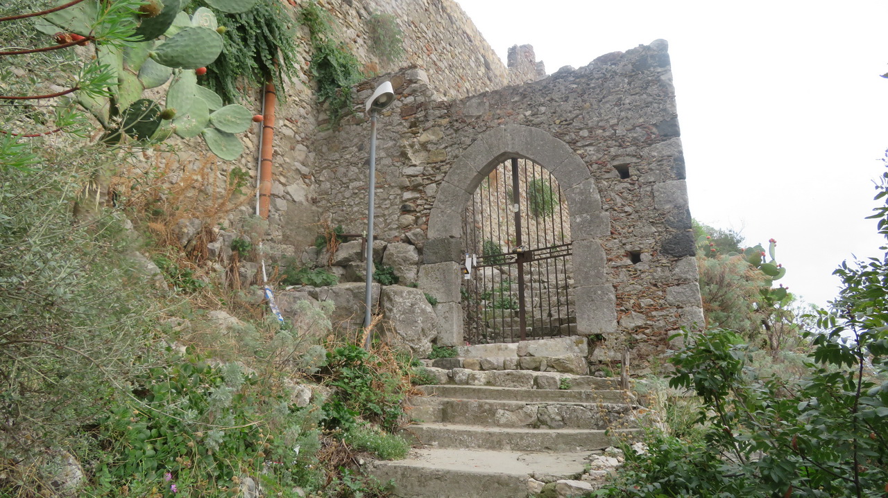
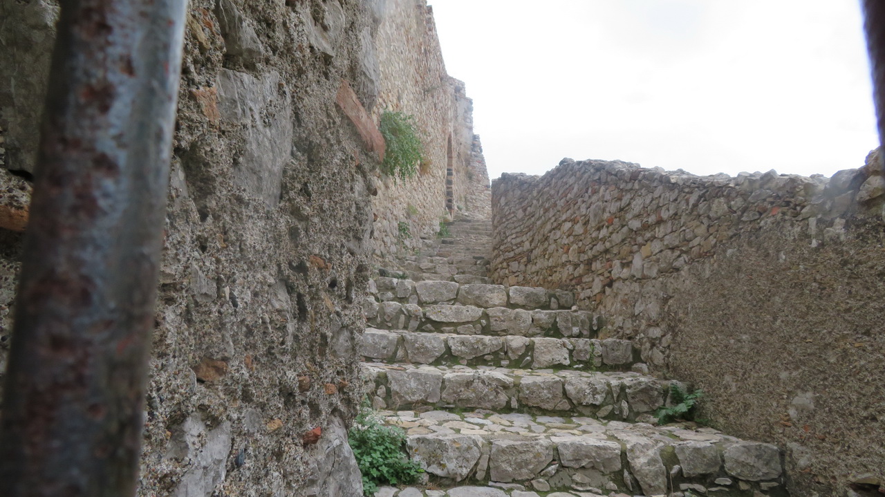
The town is overlooked by the Castello Saraceno. It's quite a climb but it is on steps. The steps have seen better days, the fence protecting walkers from some of the longer drops has rusted though and collapsed, as have some of the steps (as can be seen in the video link on the left). It's a shame that the town doesn't bother to maintain this rather attactive walk, . |
 |
 |
 |
 |
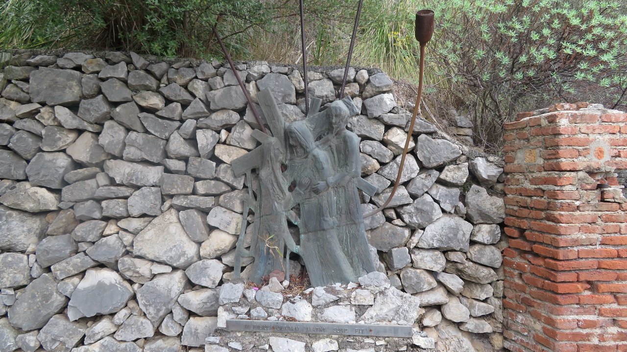
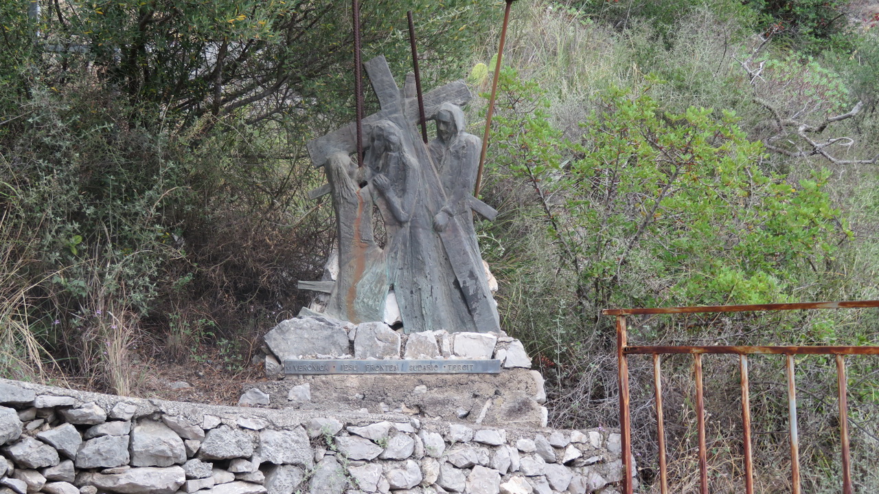
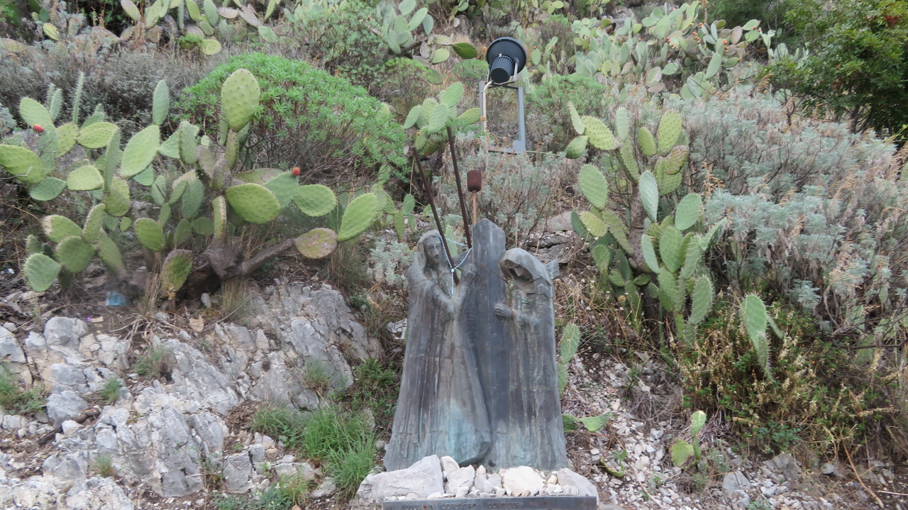
The Stations of the Cross are displayed along the walk.
 |
 |
 |
 |
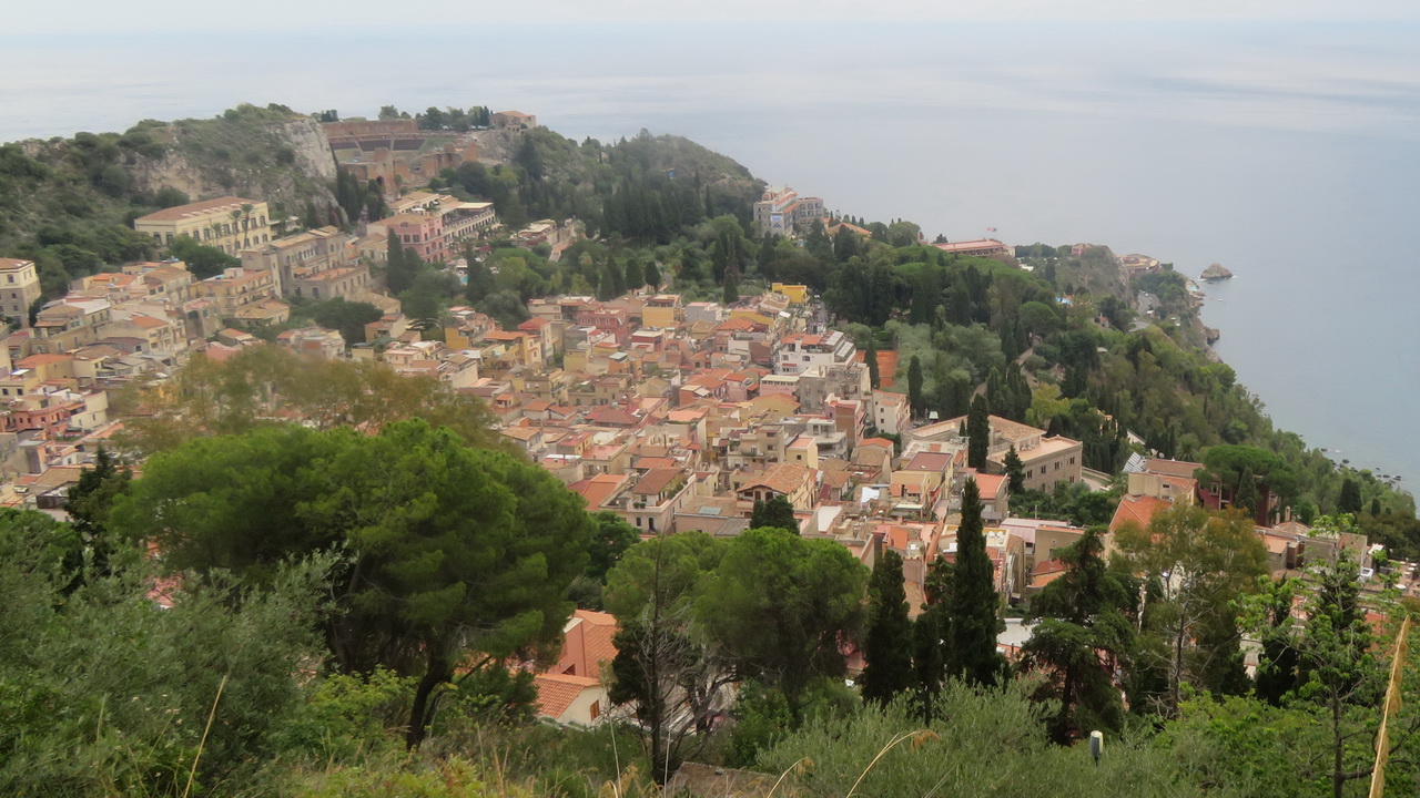
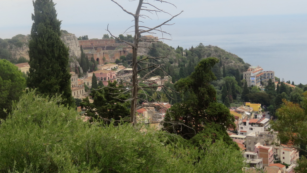
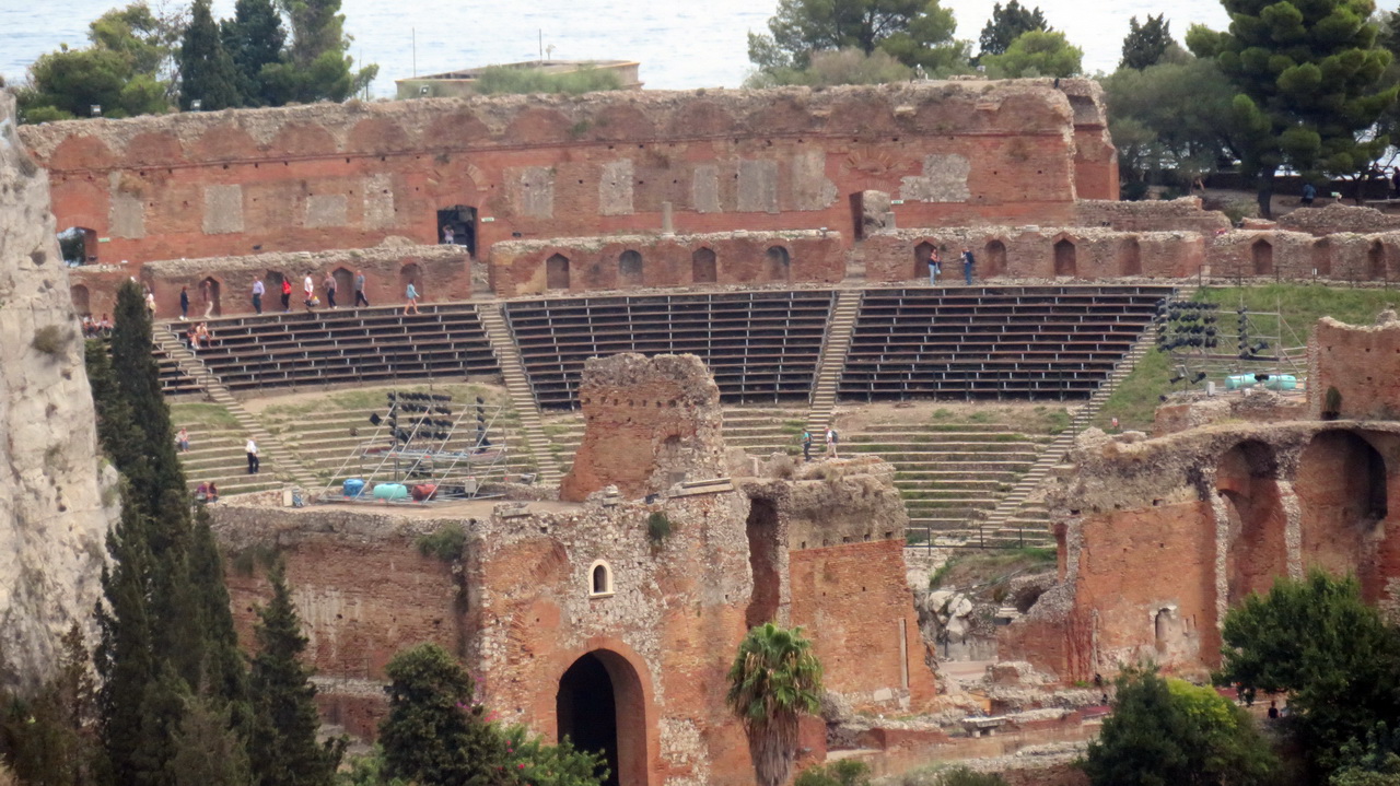
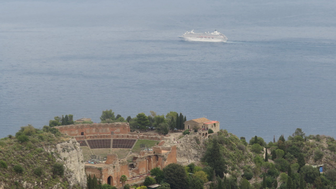
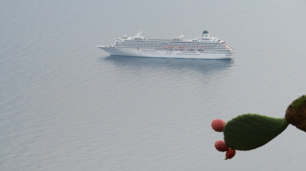
And there are some good views back over the town to the theatre,
 |
 |
 |
 |
 |
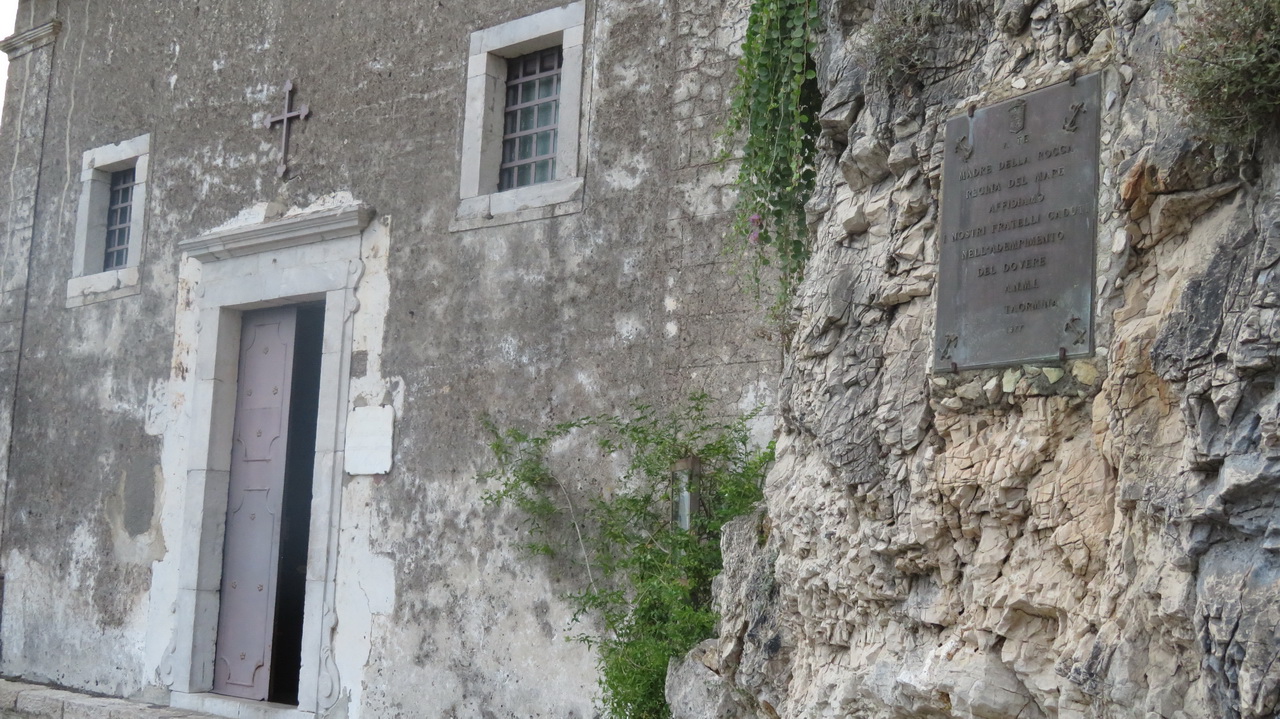
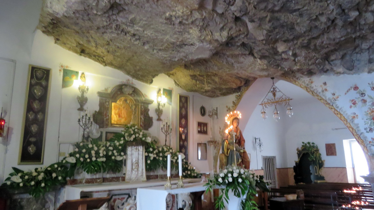
At the top of the steps is a small chapel, "Madre della Rocca", cut into the roocks.
 |
 |
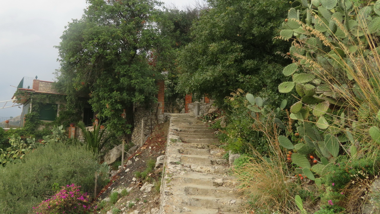
The route up to the castle continues past a roadside snack bar and continues up a new set of steps. The castle is actually closed, some old signs suggest that it was being worked on but they also look neglected.
 |
 |
 |
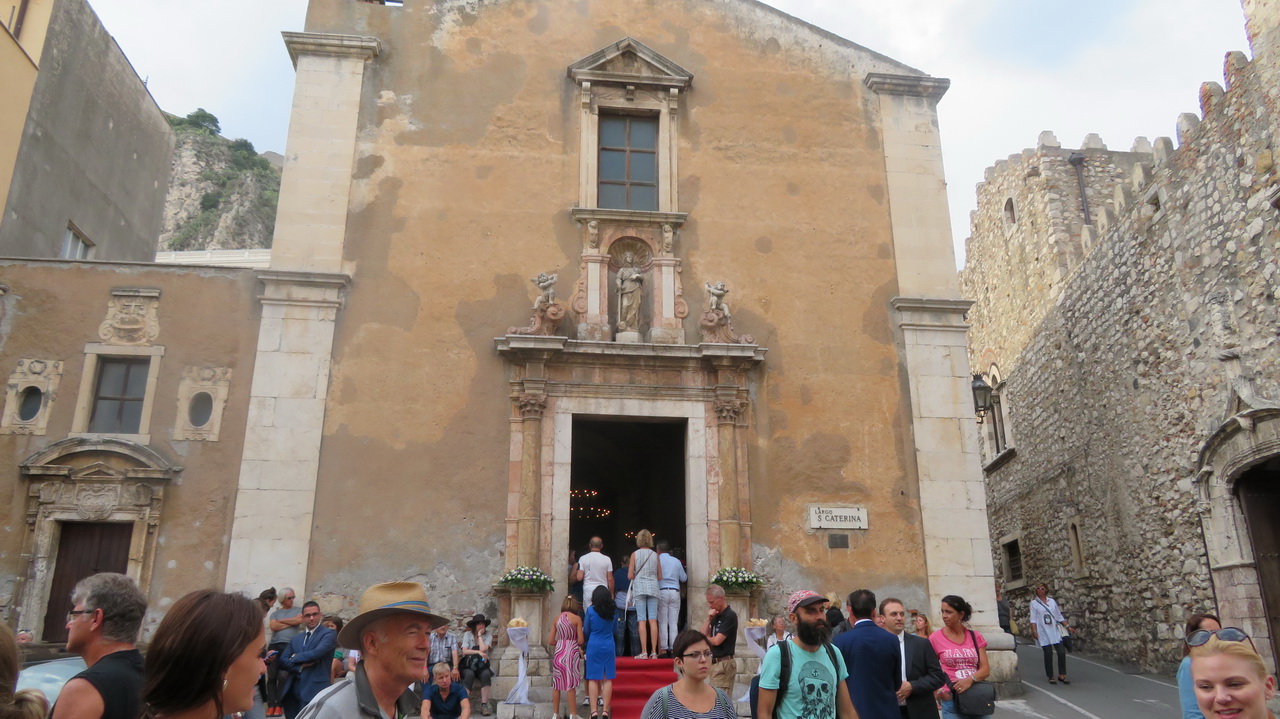
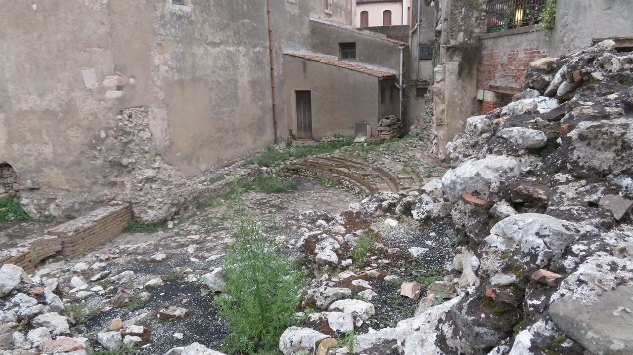
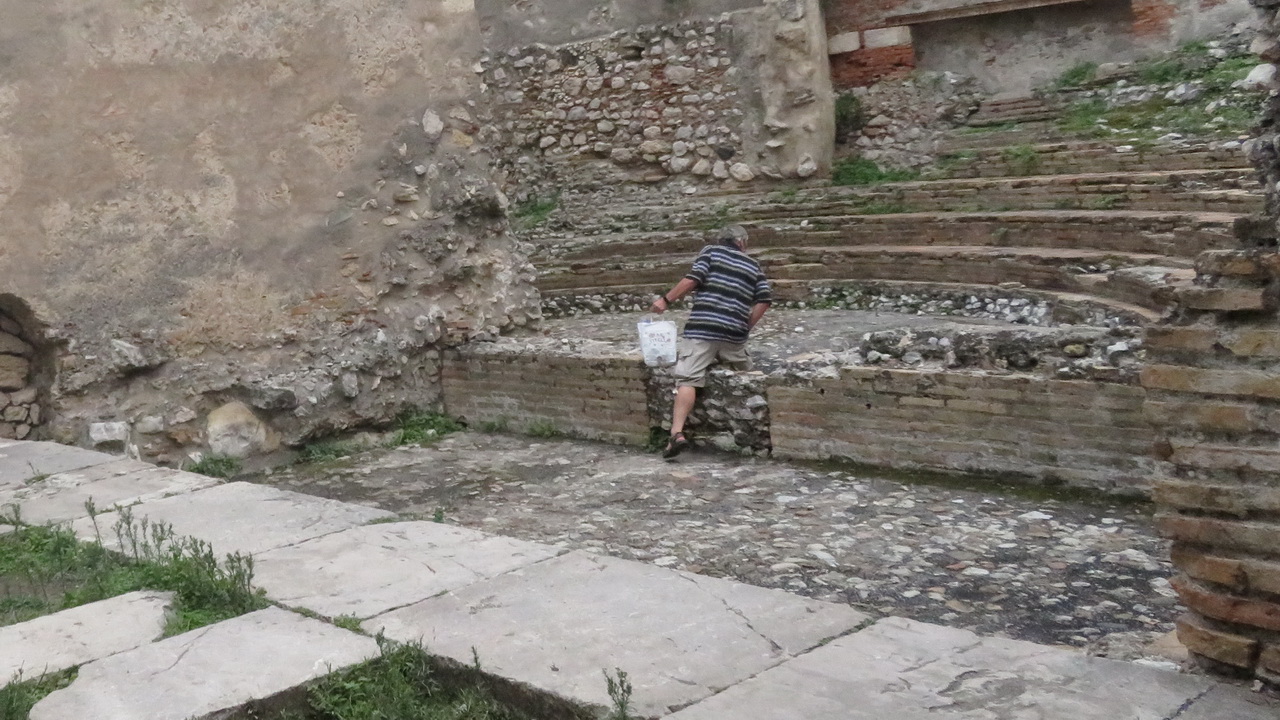
This church in the town seems very popular for weddings, there is another small ancient theatre tucked into its foundations, which can be seen around the back.
 |
 |
 |
Drive to Etna
The drive to Etna was mostly in the dark, through long windy roads in the Fog.
Saturday: Etna
Refugio Sapienza
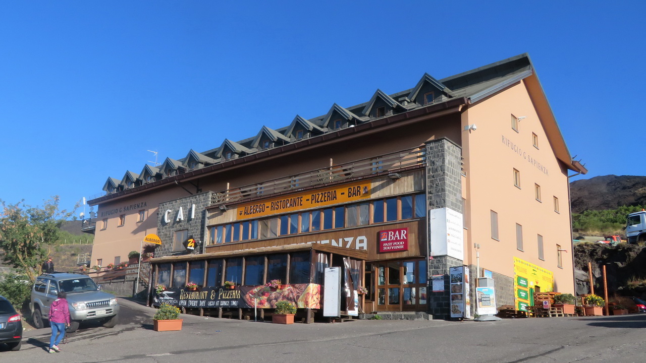
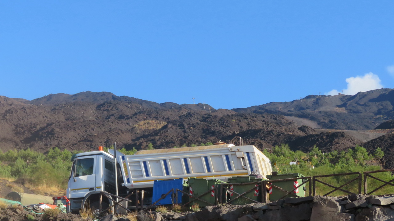
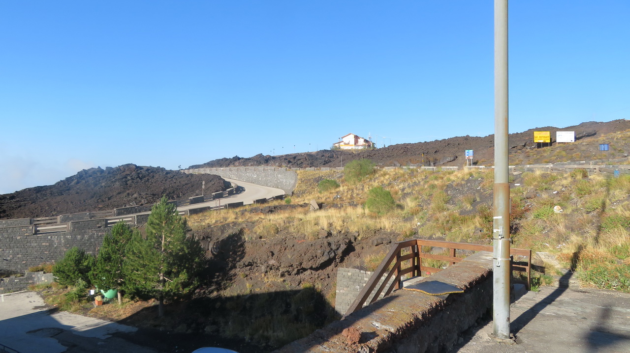
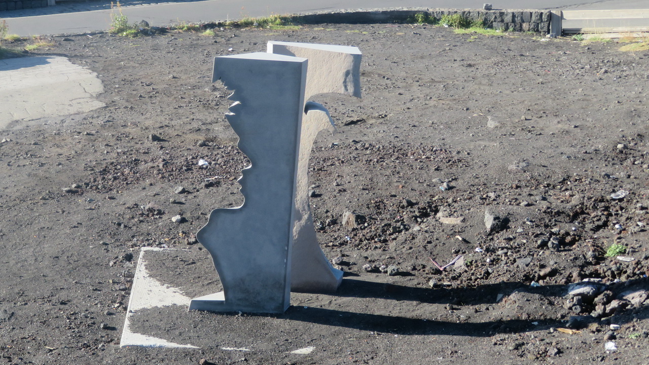
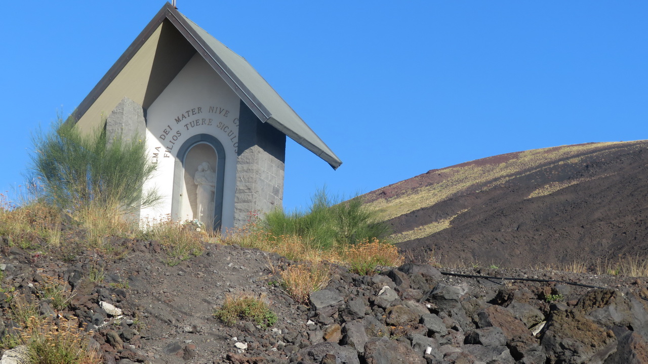
We stayed in this hotel, situated at about 1,900 metres. The area is surrounded by these grey lava fields from a recent eruption (2003), which expains why the roads and buildings all look very new.
 |
 |
 |
 |
 |
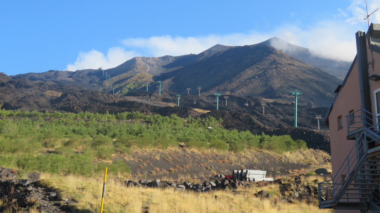 |
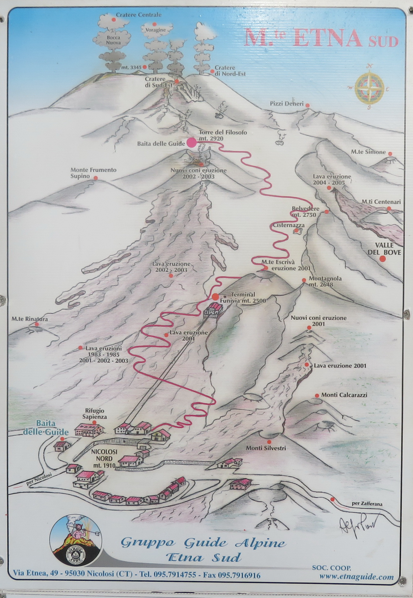
A poster outside the guides' post shows the route up the mountain, starting with the cable car you can see in the previous image. We visited the "Cratere Centrale" and the two craters just below the guides' hut below the "Tore del Filosofo".
 |
Ascent
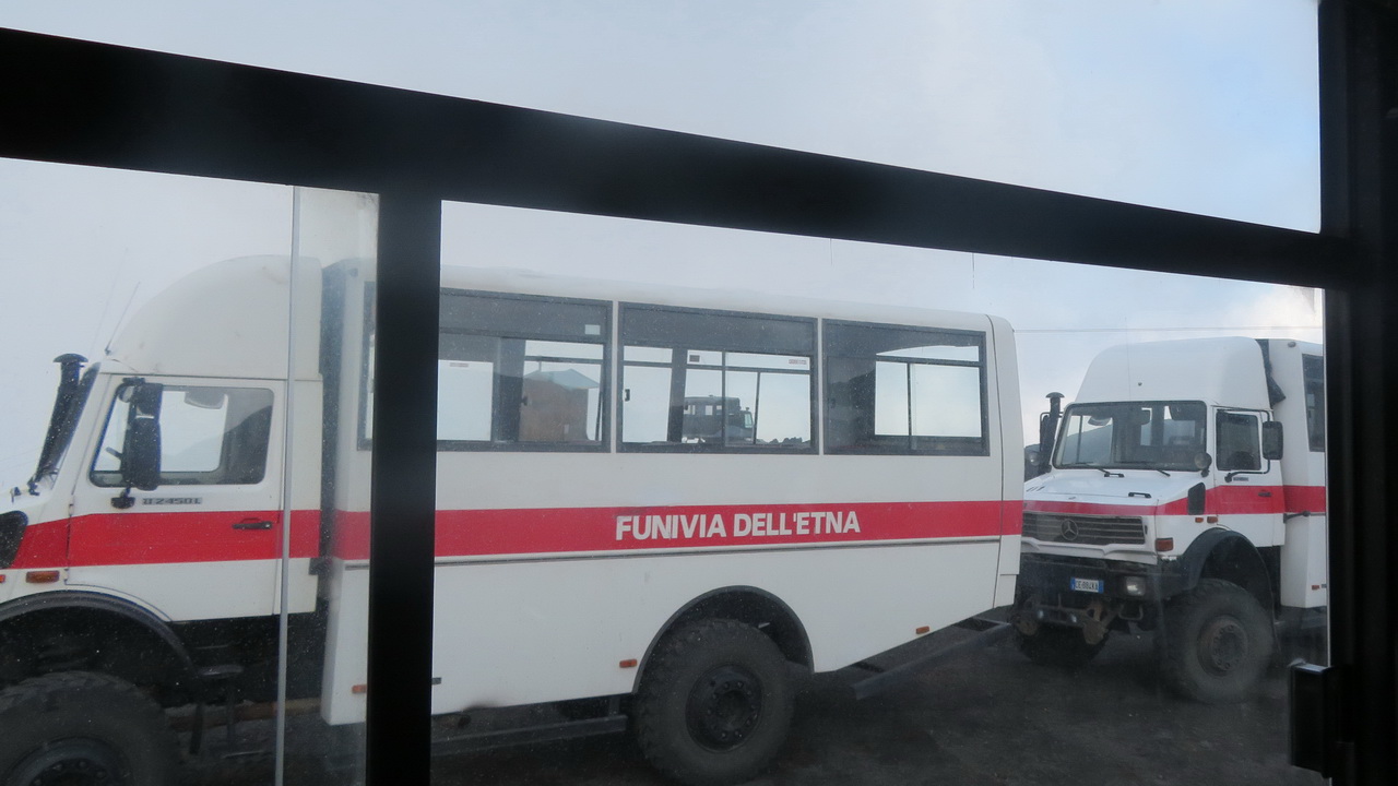
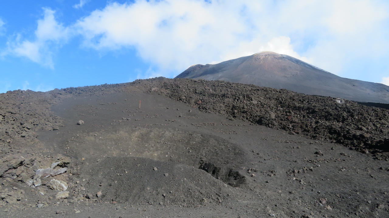
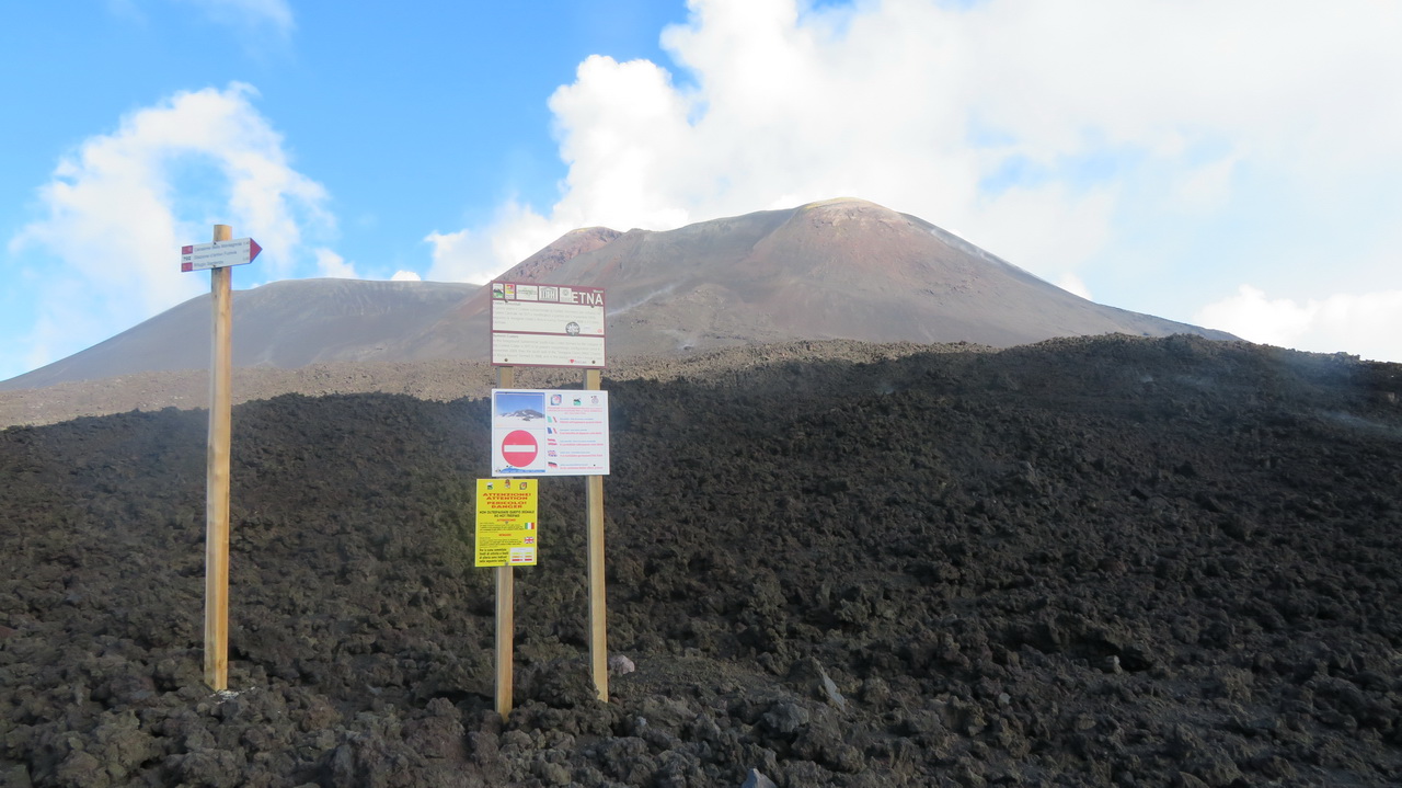
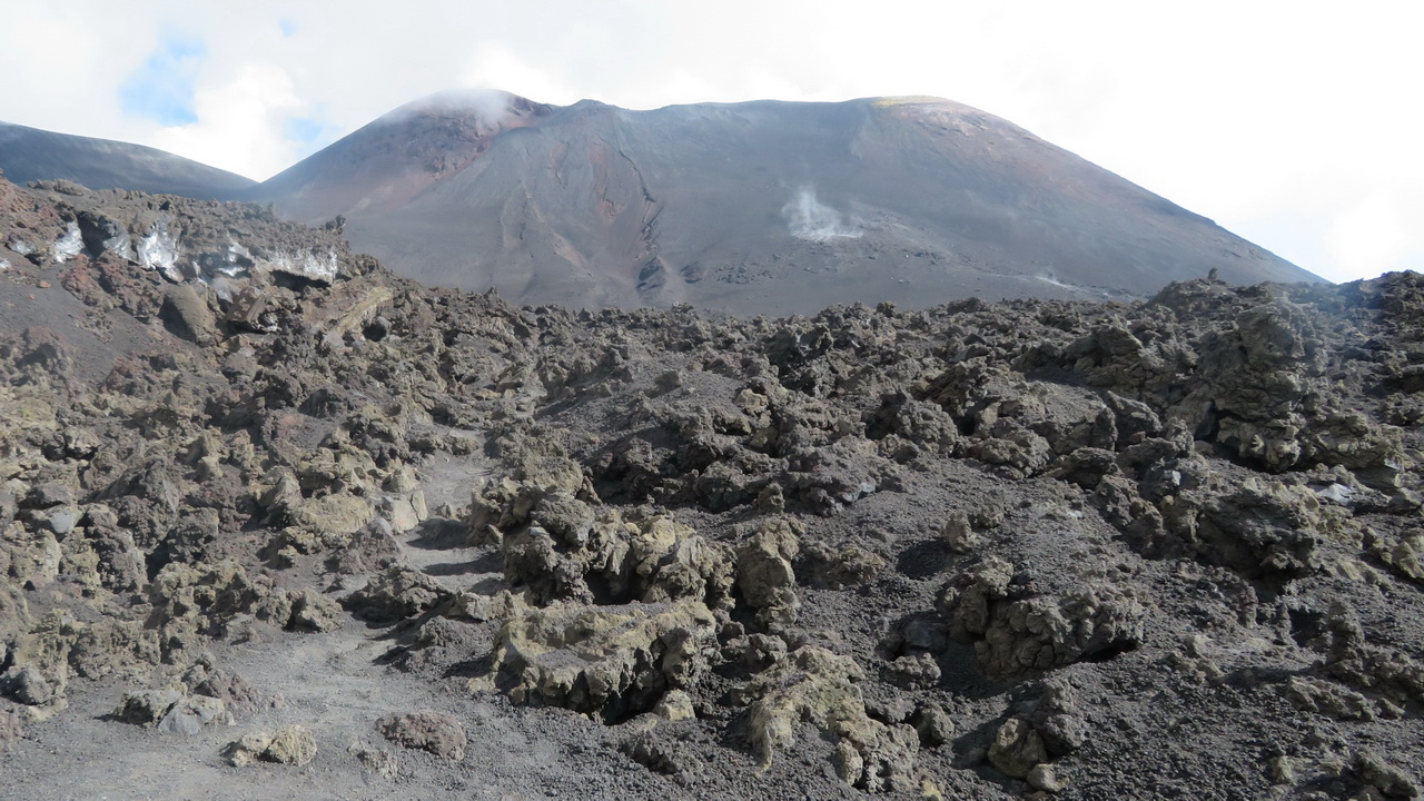
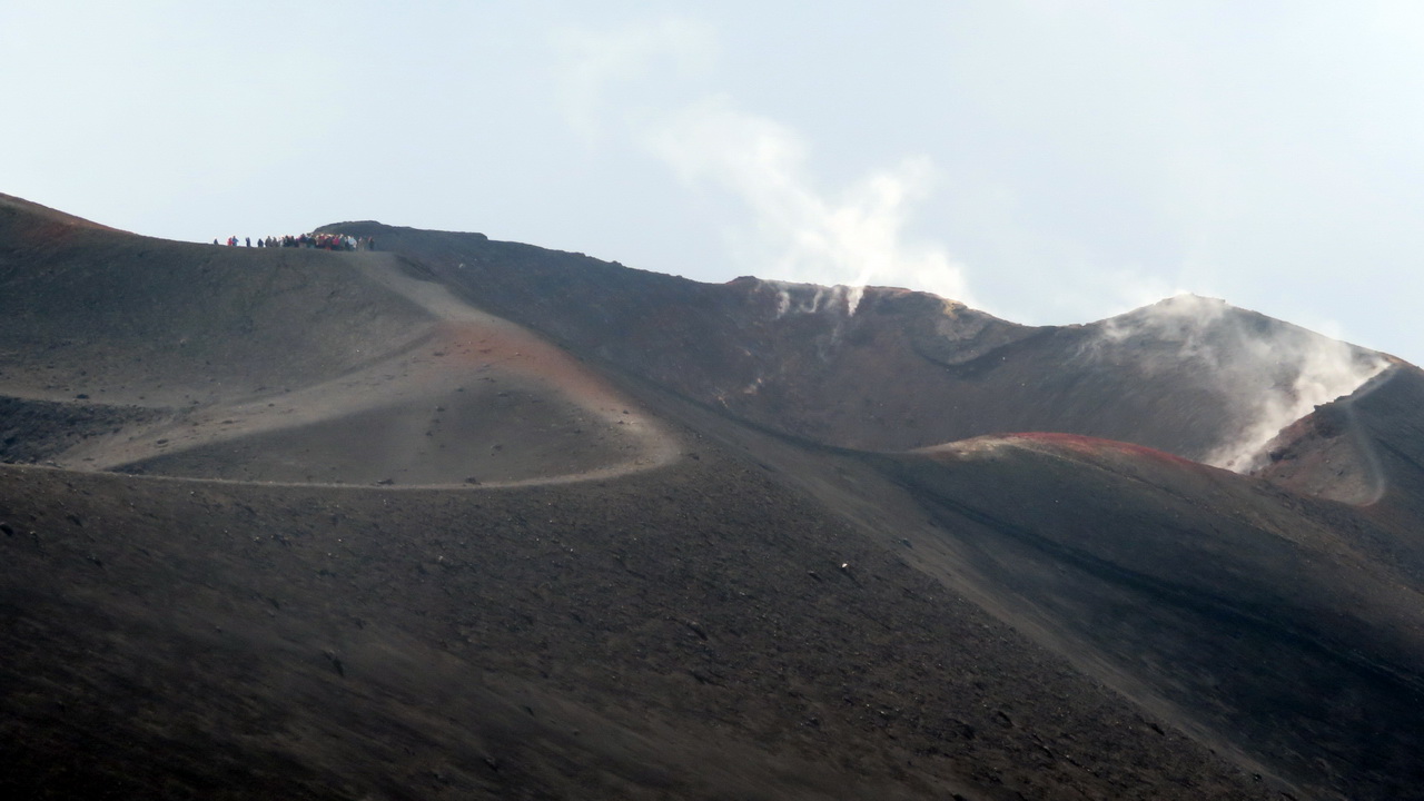
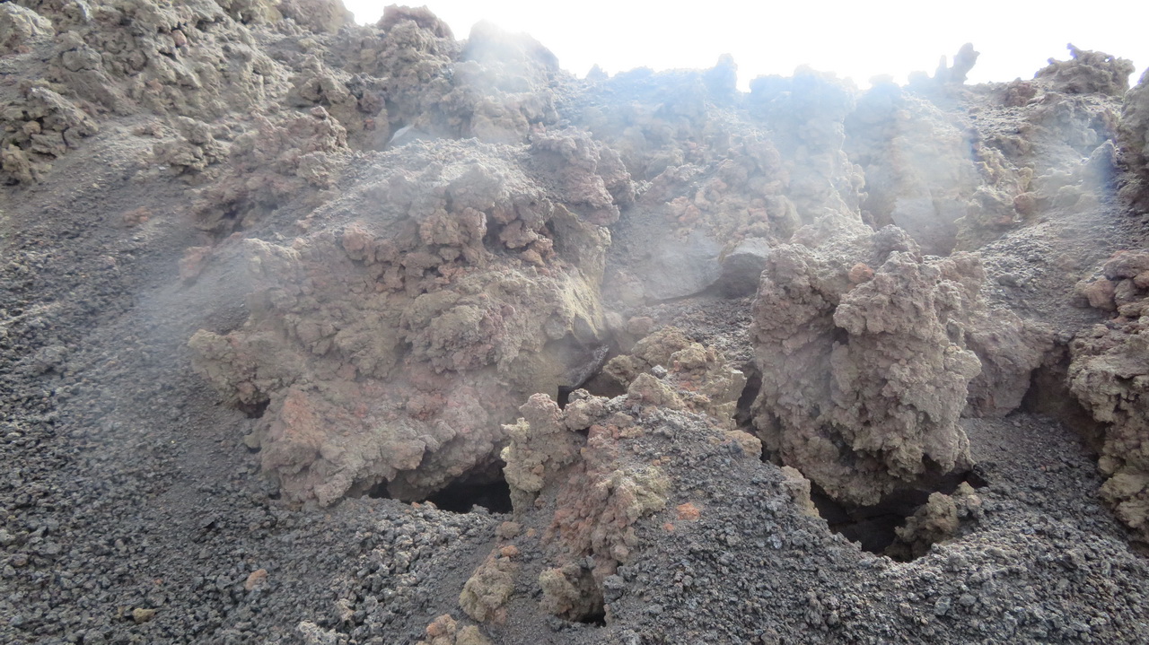
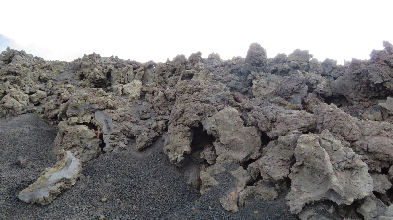
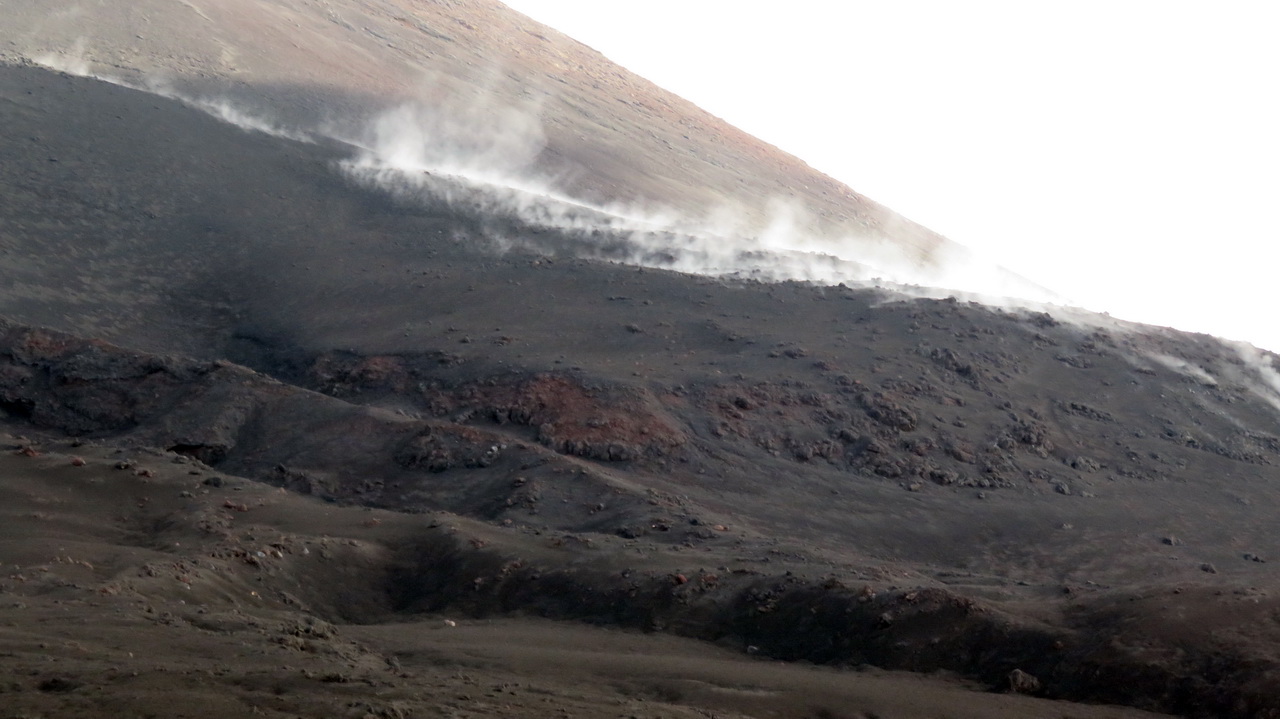
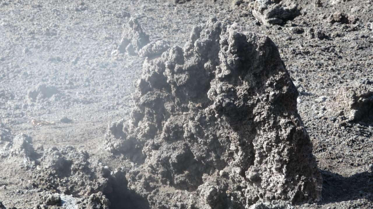
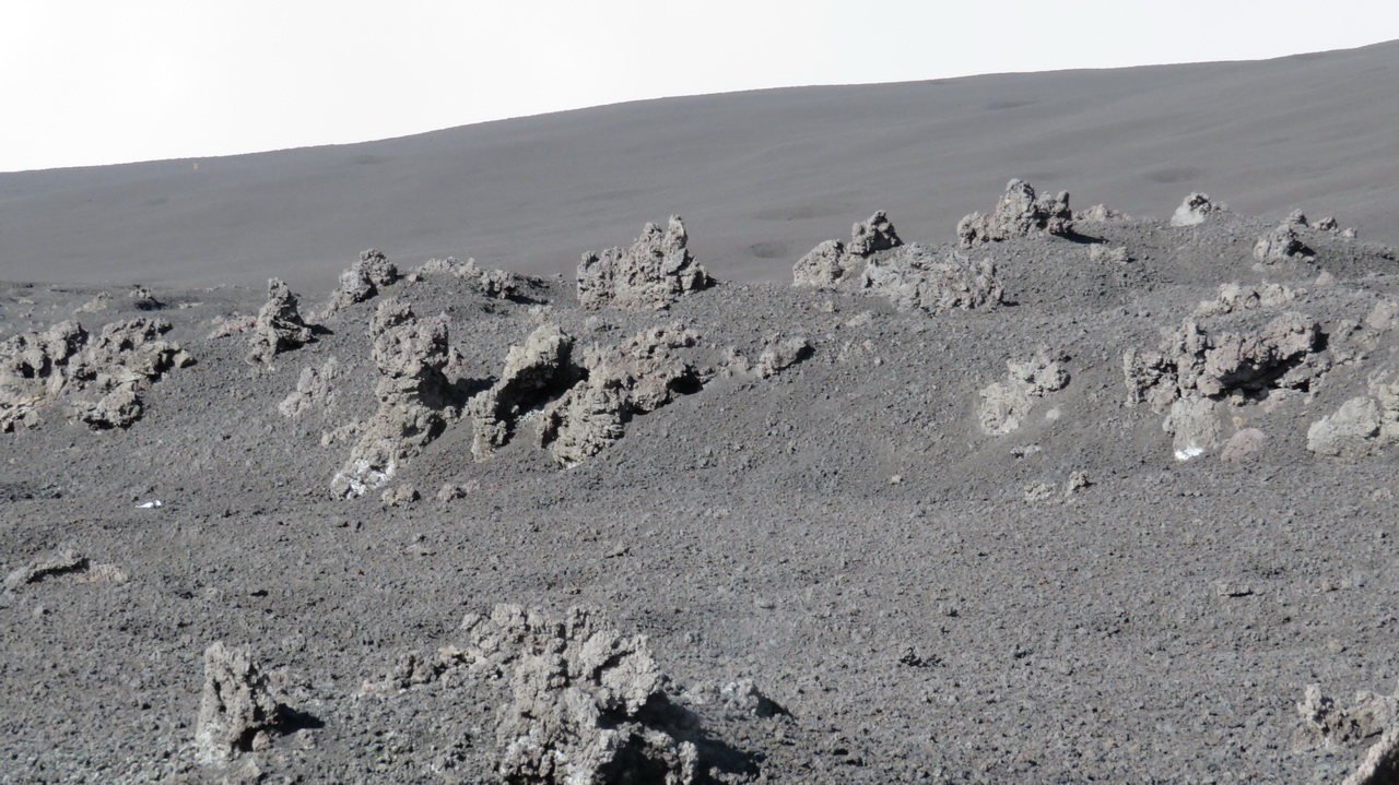
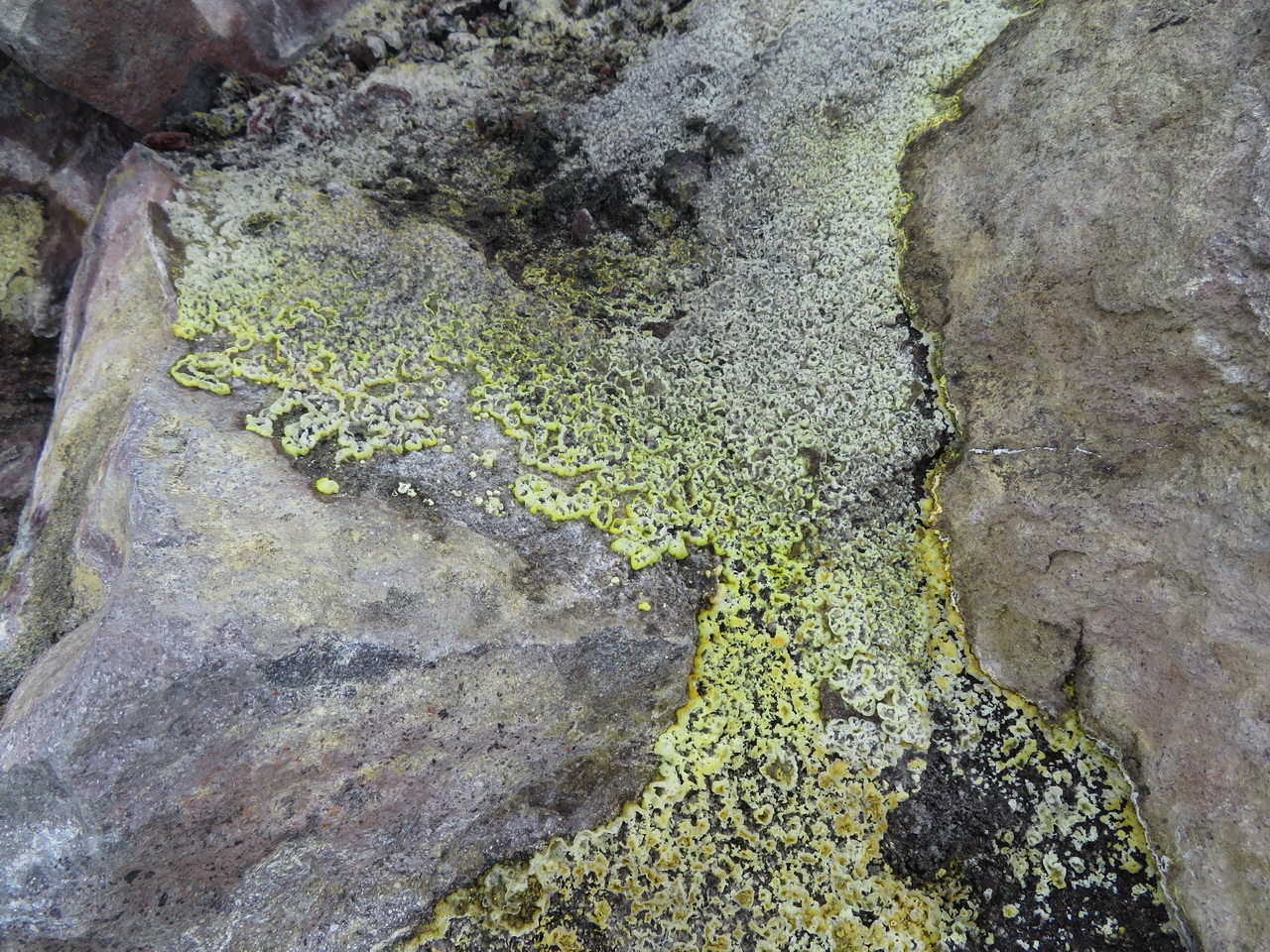
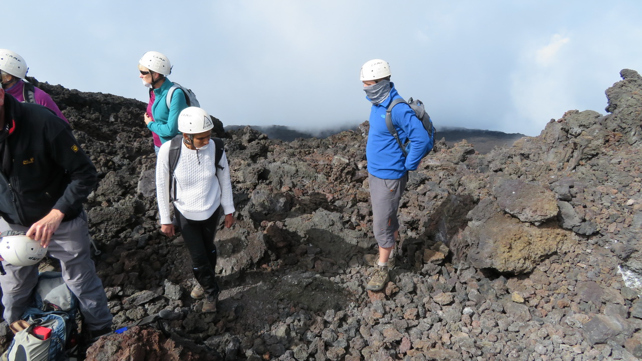
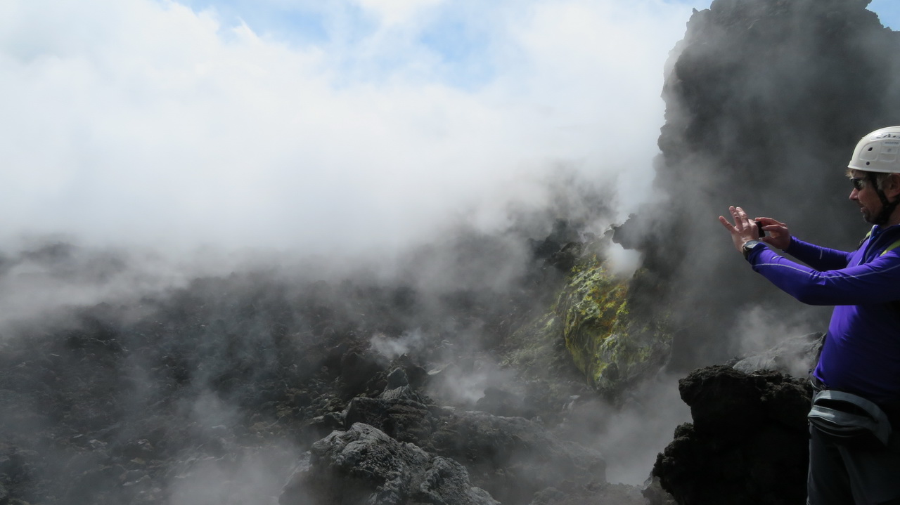
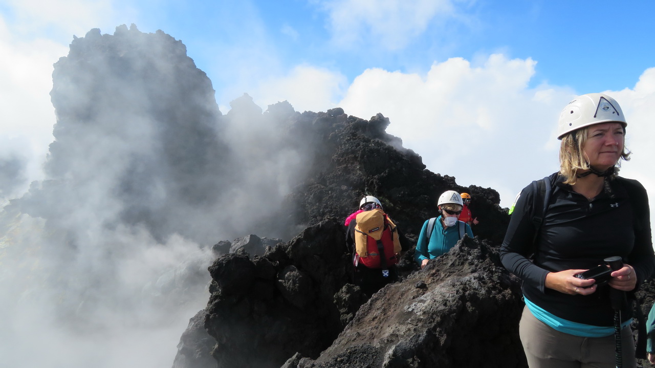
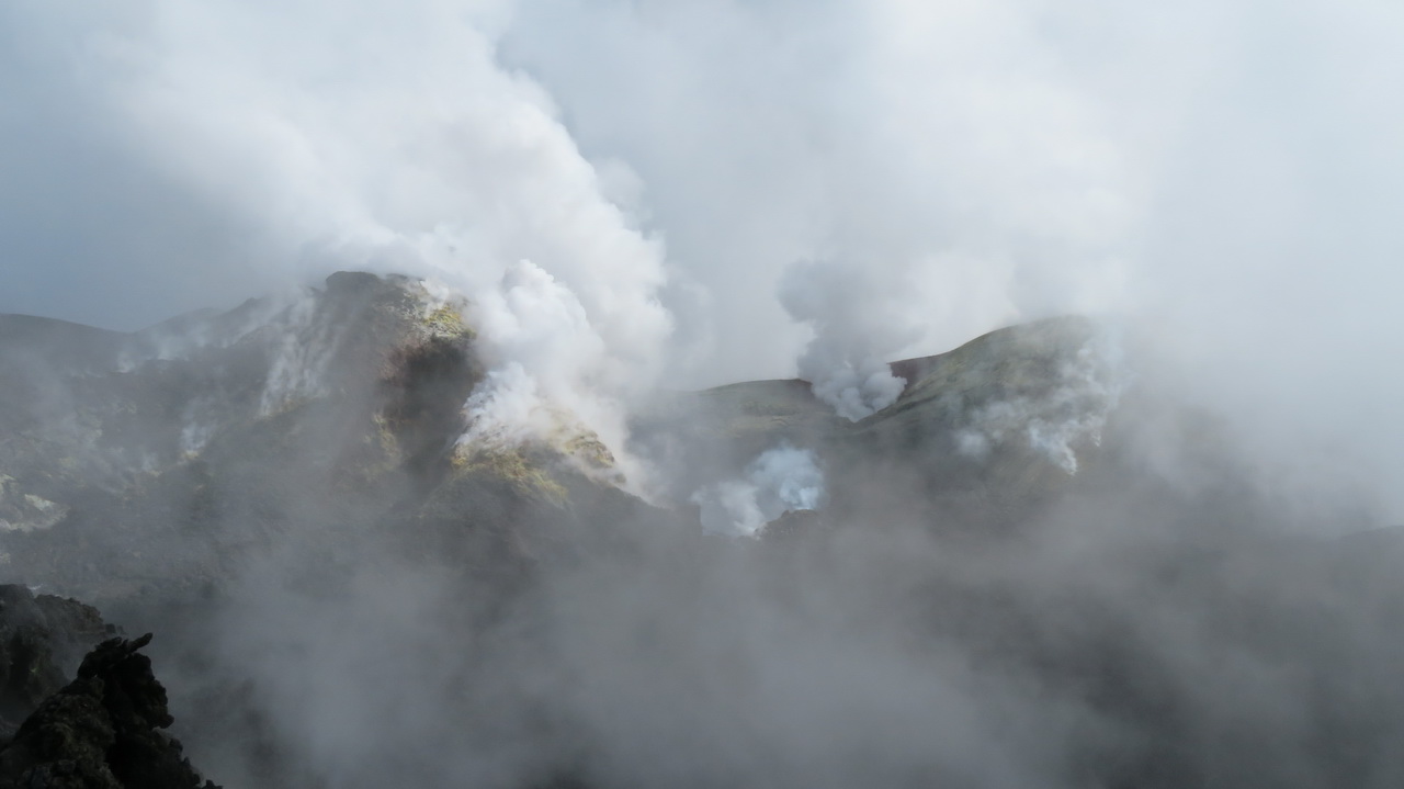
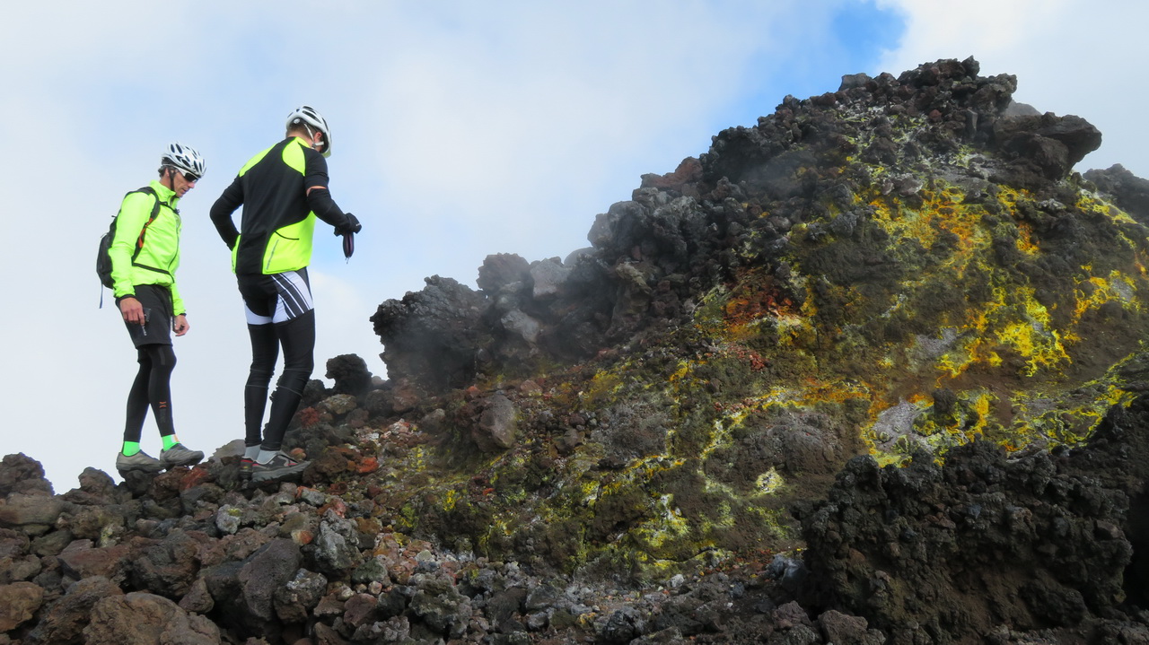
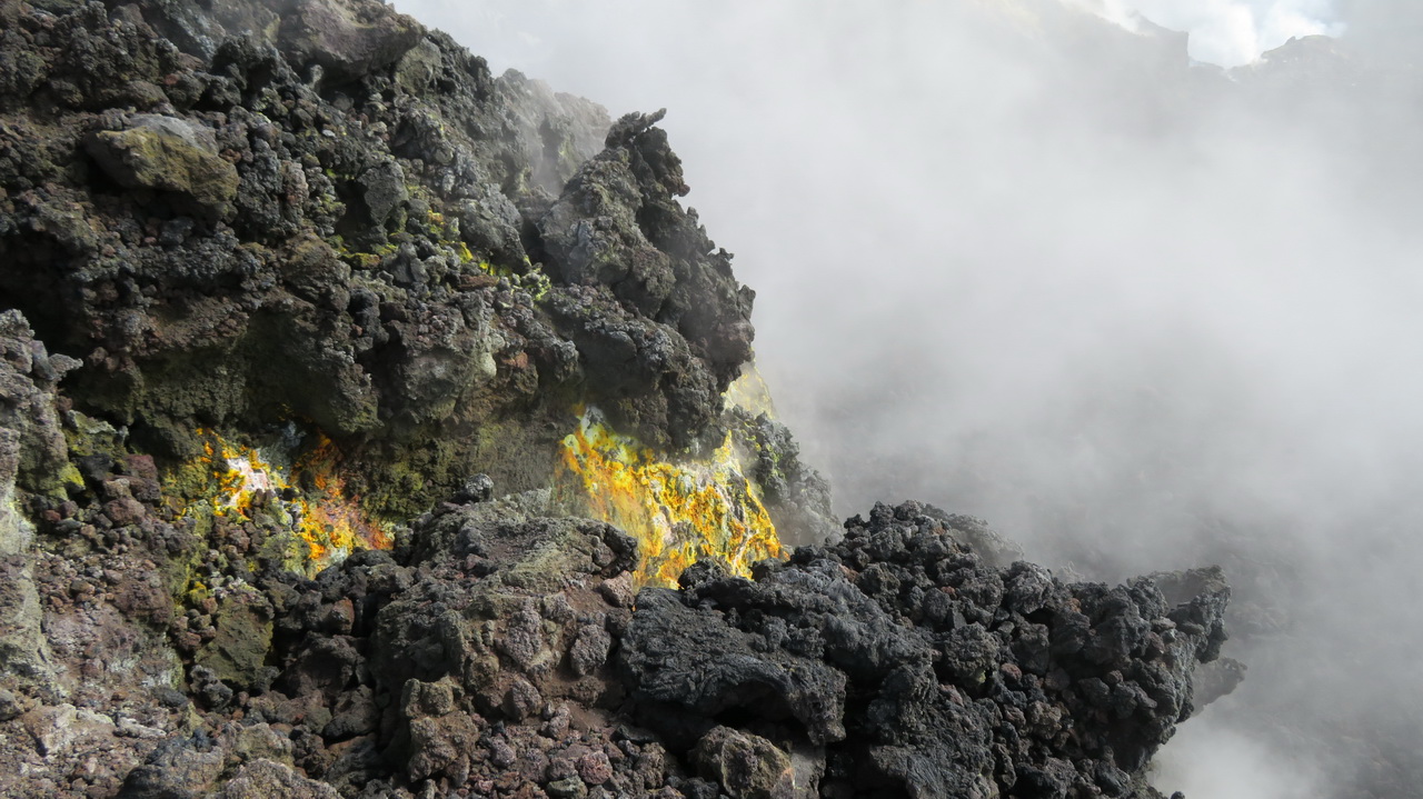
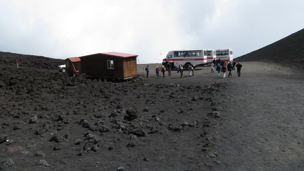
The cable car takes you to about 2500 metres where you then take one of the 4-wheel drive busses to the guides' hut at 2900 metres. The terain here is all grey with these very pourous lumps of lava that break down into the very fine dust that has been formed into the footpaths. Some of the rocks are hot and emitting steam.
 |
 |
 |
 |
 |
 |
 |
 |
 |
 |
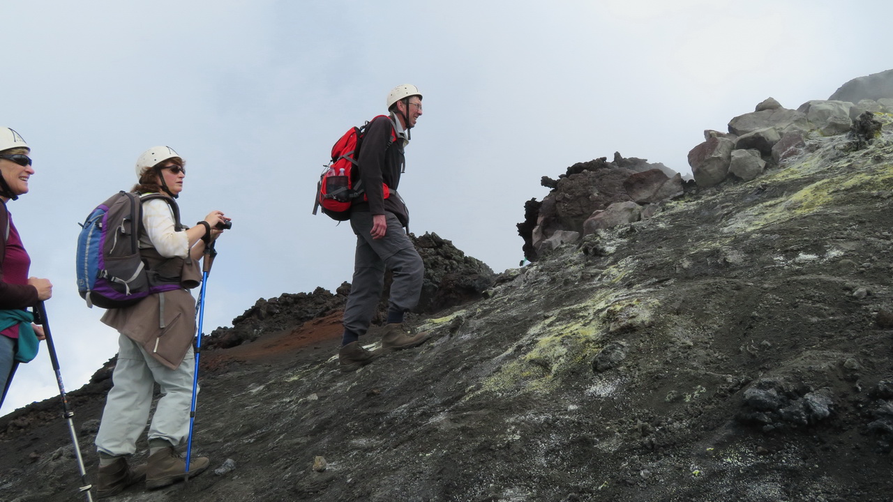
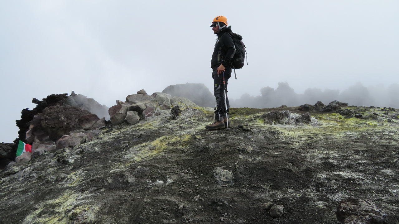
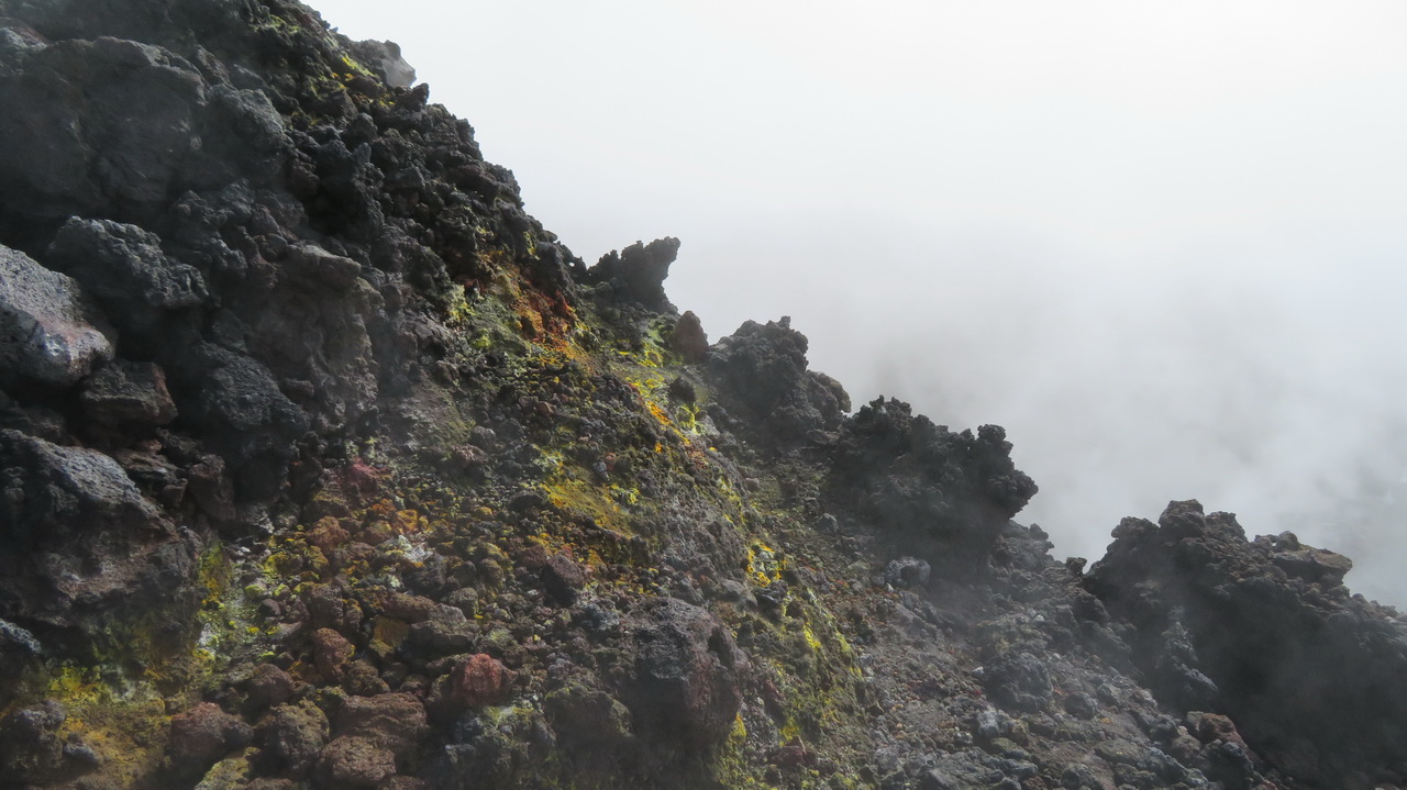
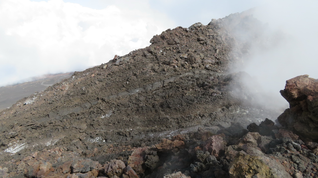
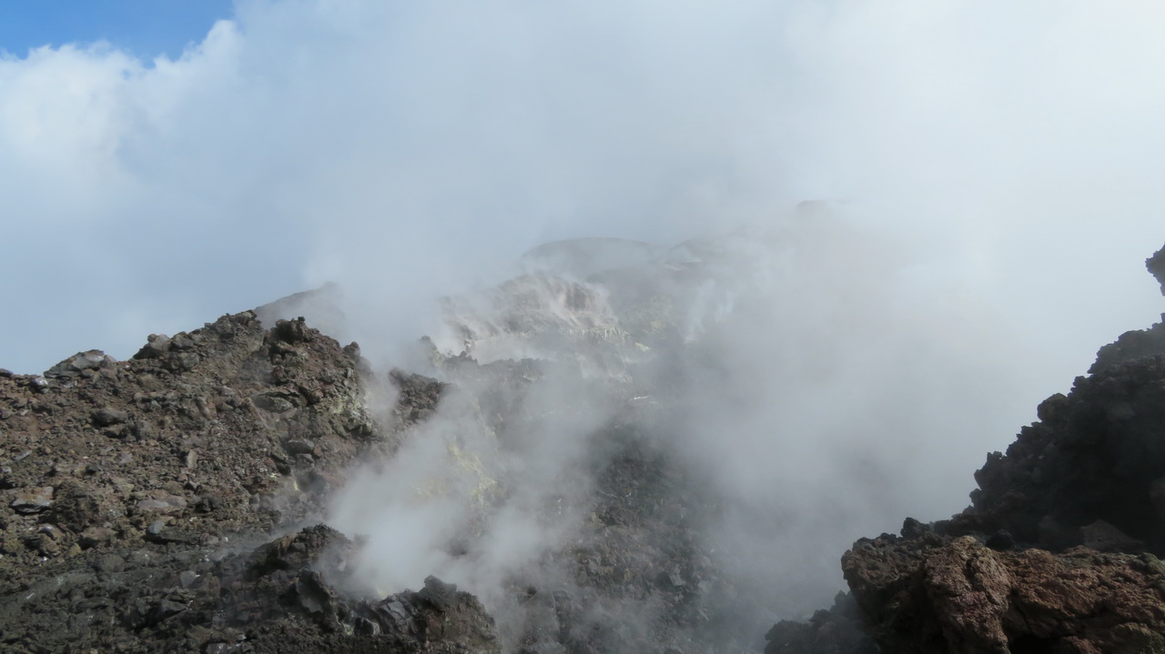
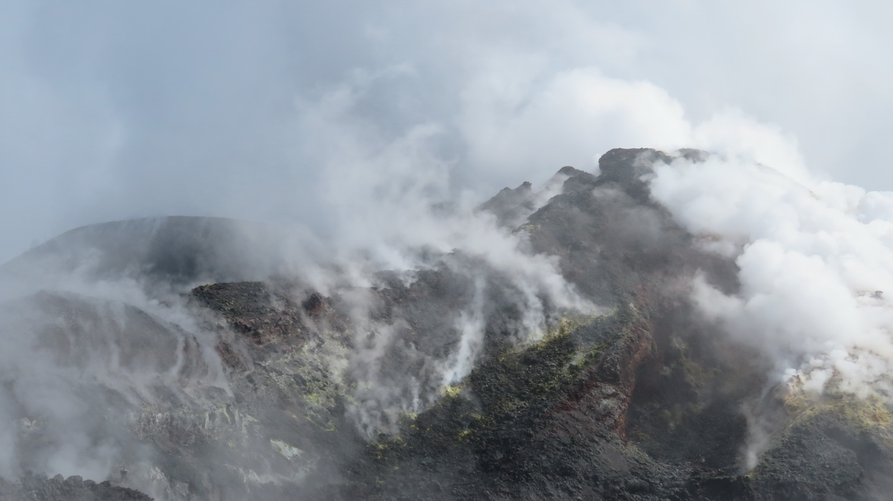
Central Crater
 |
 |
 |
 |
 |
 |
 |
 |
 |
 |
 |
 |
|
 |
 |
 |
 |
 |
 |
Descent back to the "Baita delle Guide"
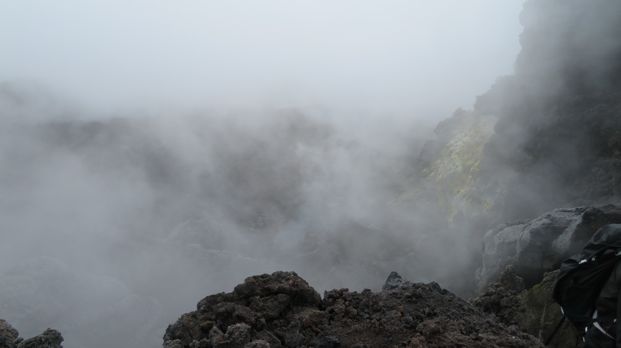
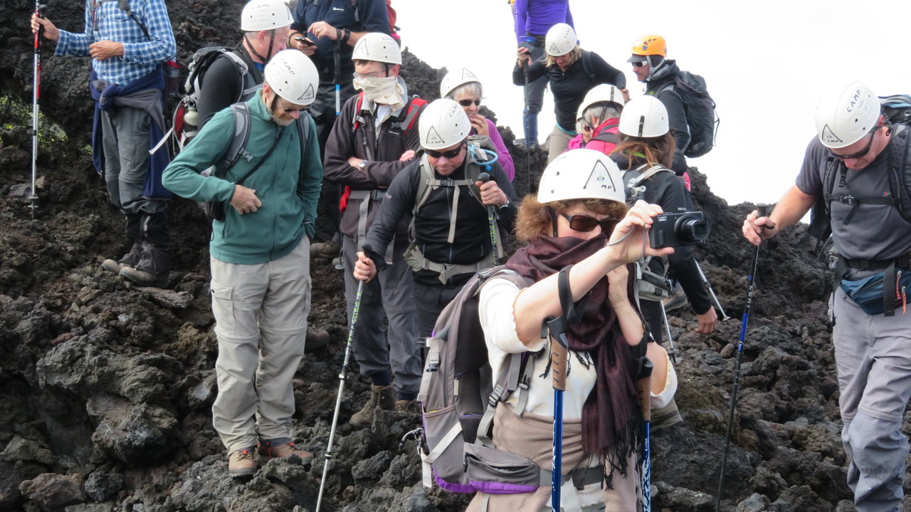
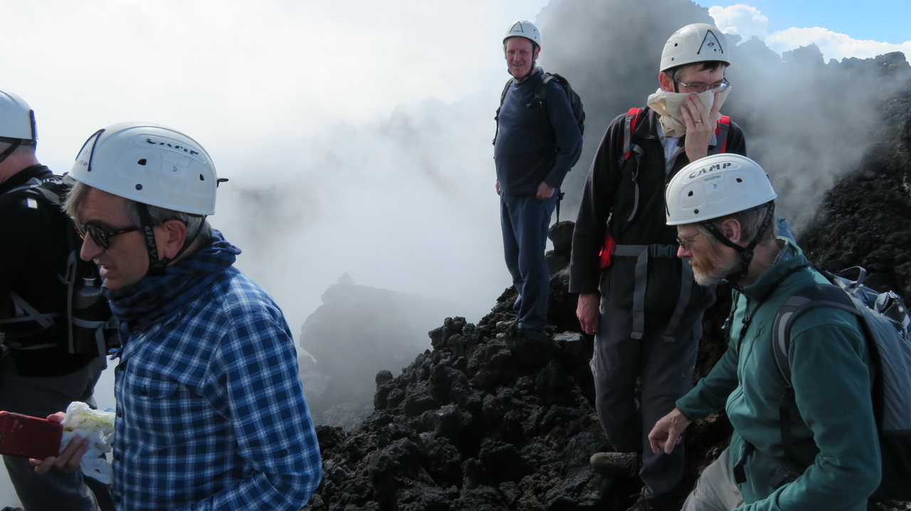
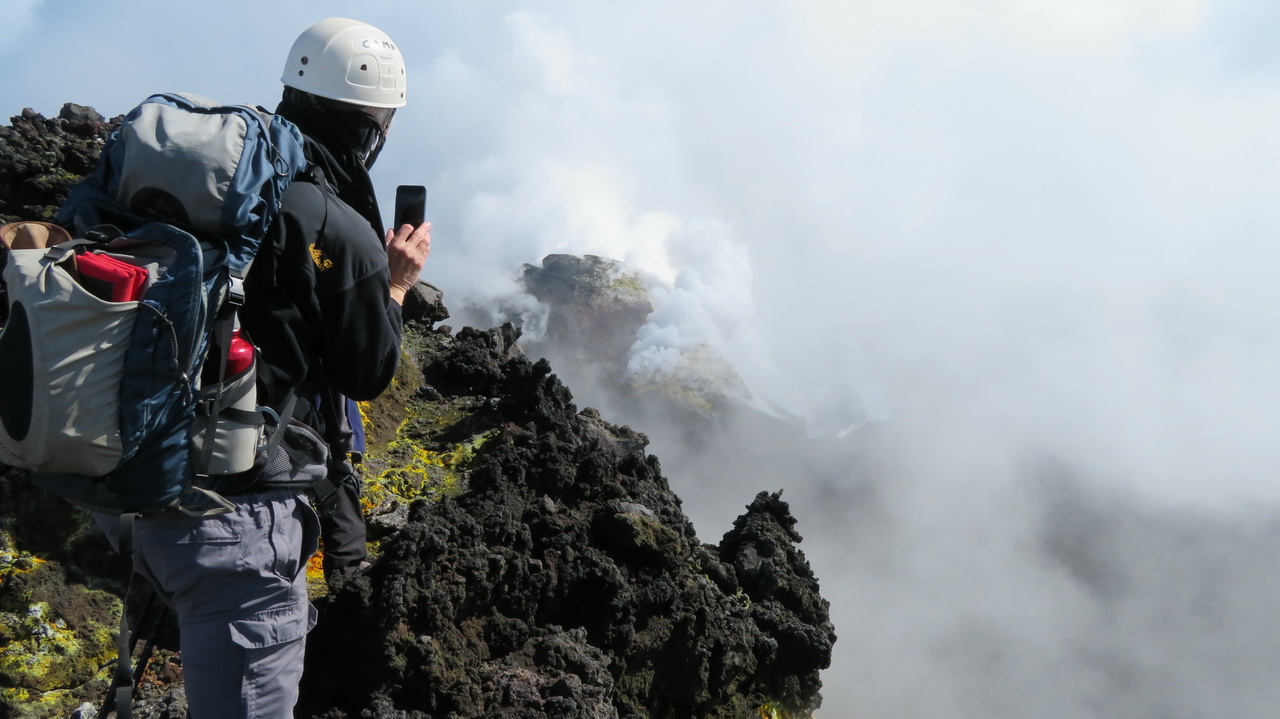
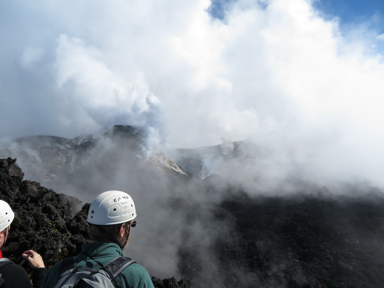
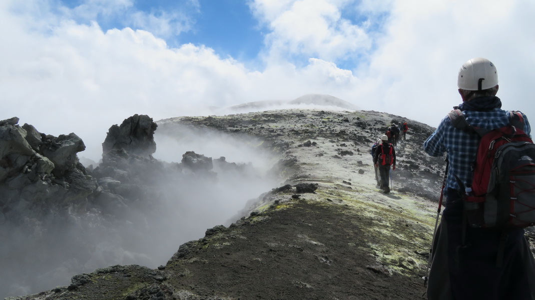
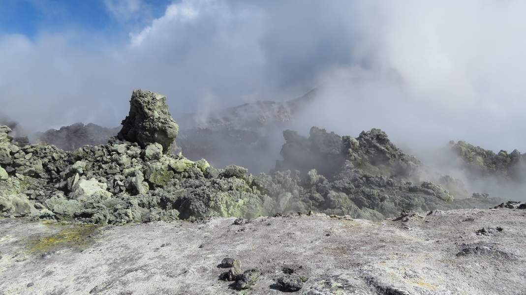
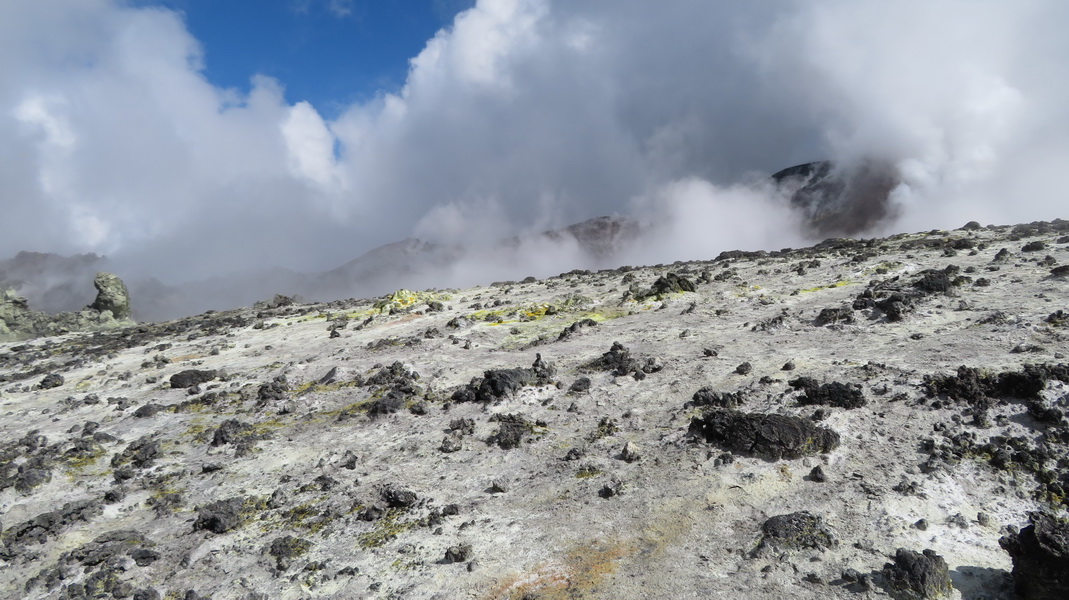
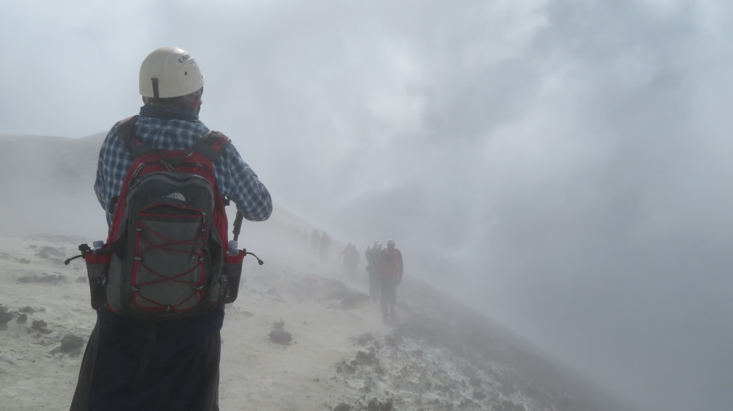
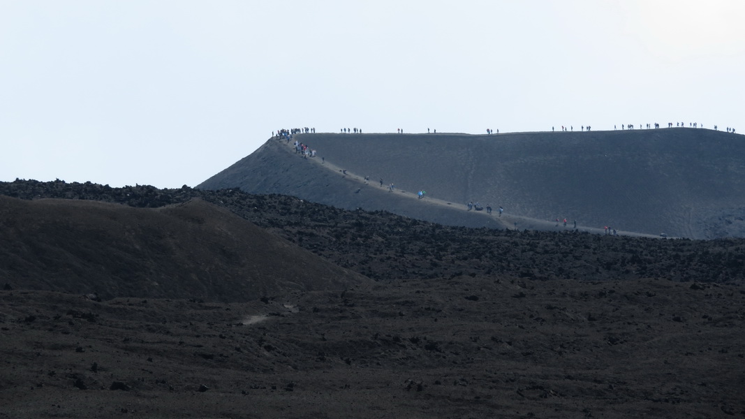
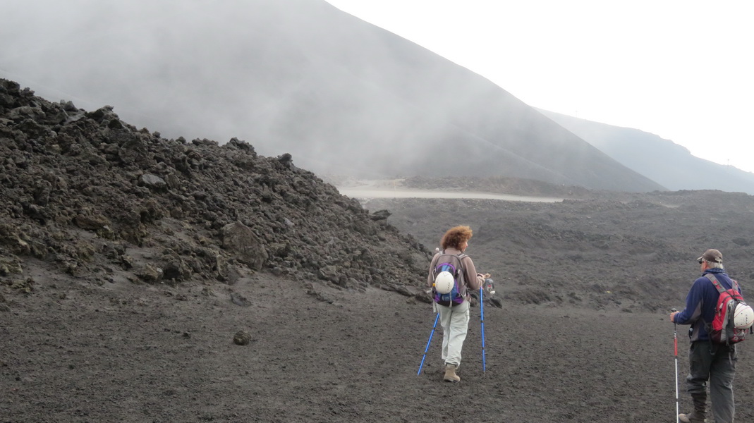
The way back tooks us through a lot of smoke, which fortunately was mostly steam. We were one of the first groups up, so looking back we can see dozens of others retracing our path. At the guides' hut we turned to the right and visited the craters created by the 2003 eruption.
 |
 |
 |
 |
 |
 |
2003 Craters
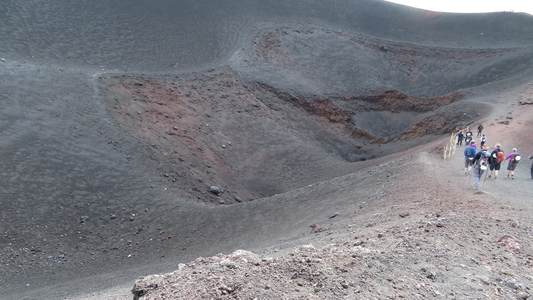
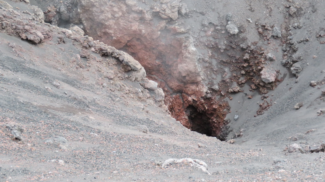
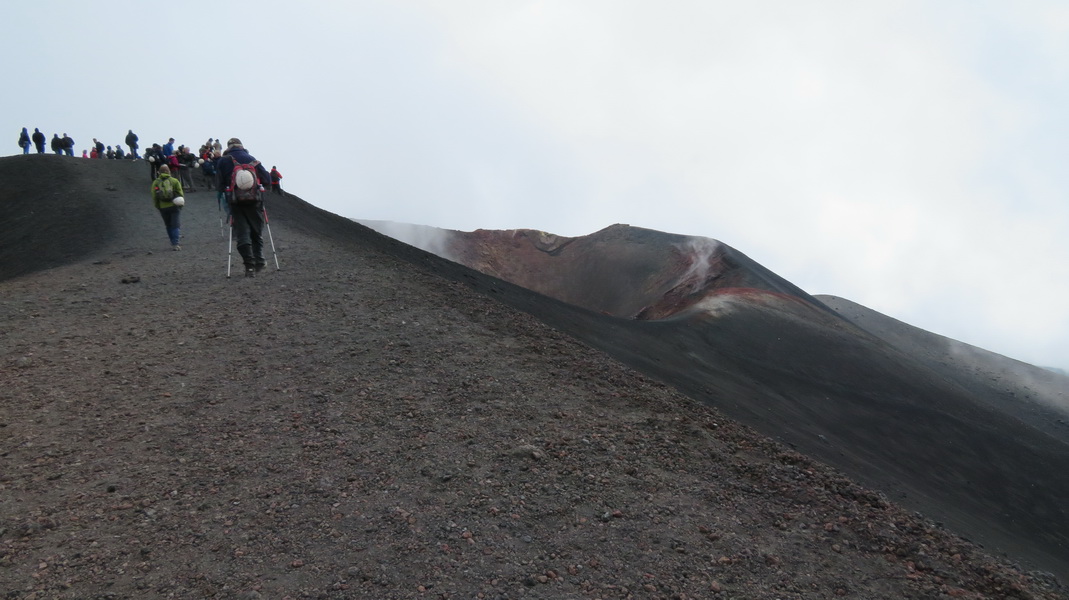
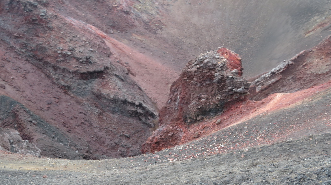
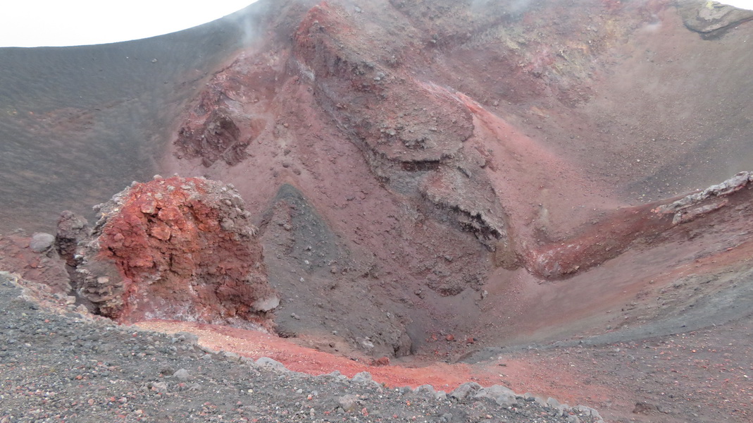
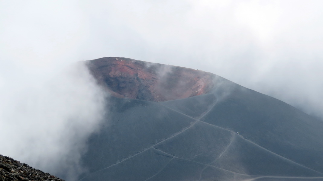
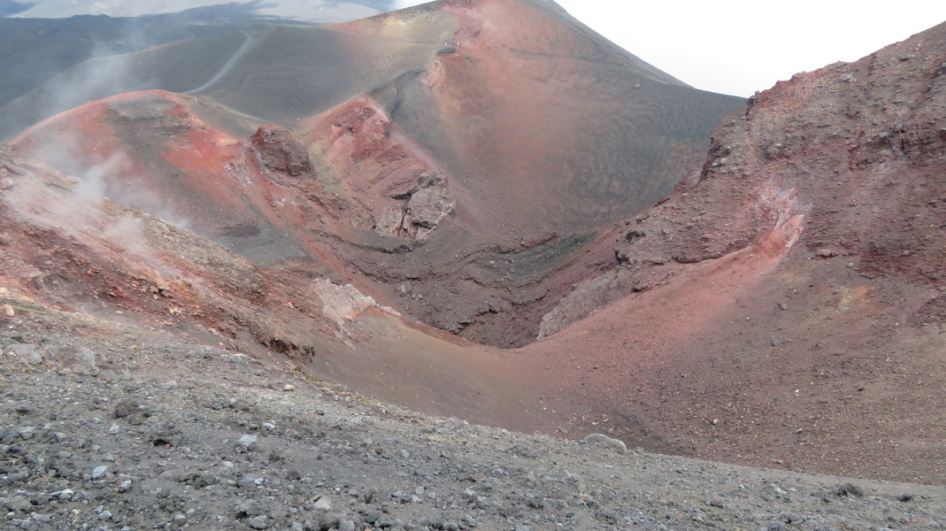
There is very little stream coming from these craters now but there is a very ominous looking hole (2nd image). I think the crater in the distance (6th image) is from the 2001 eruption. We continued down until we reached the cable car termimus where we took the car back to the Refugio.
 |
 |
 |
 |
 |
 |
 |
 |
Catania
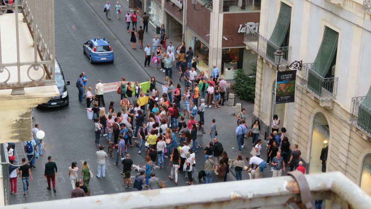
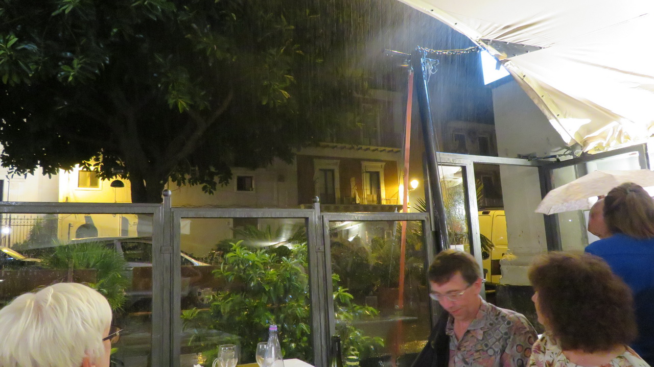
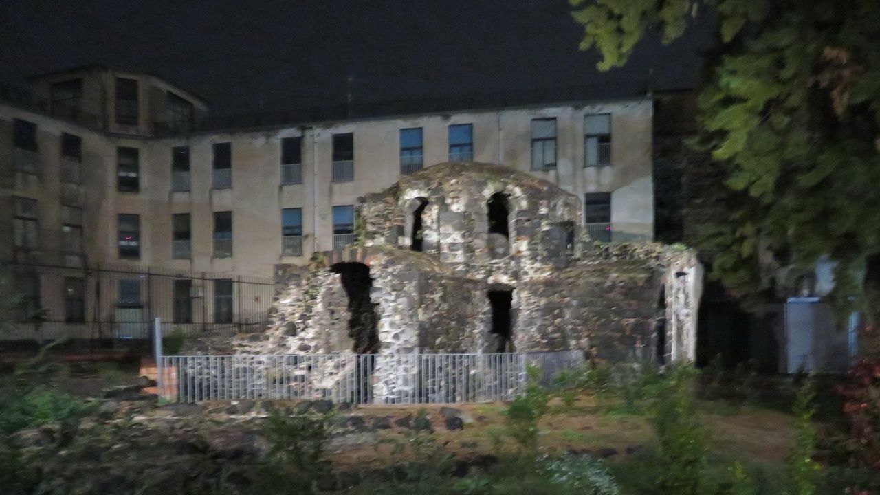
We then drove to Catania where we had an evening meal. There was some sort of demo taking place outside the hotel. We were seated outside at the restaurent which became quite exciting when a thunderstorm hit. It rained pretty solidly for the rest of the evening and continued into the next day.
 |
 |
 |
Sunday: Catania & return
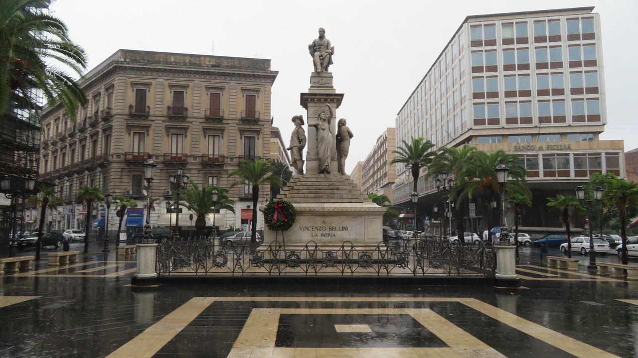
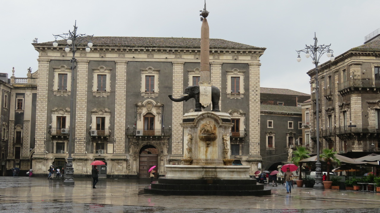
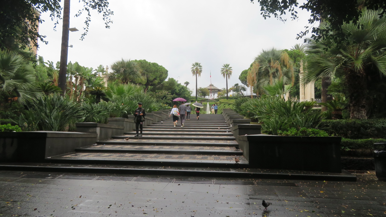
This was dampened somewhat by the continuous rain and the fact that most things are closed on Sundays. Catania was the home of Belini, the staue of an elephant adorns the central square.
 |
 |
 |
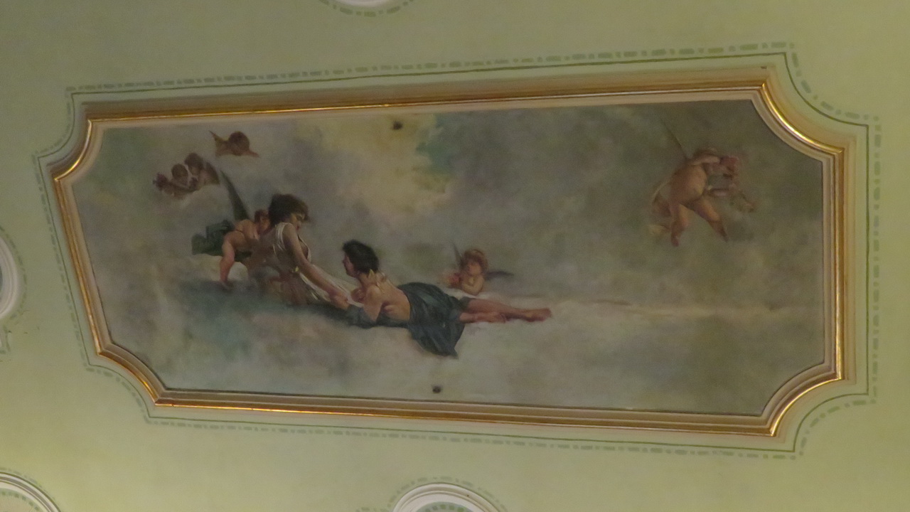
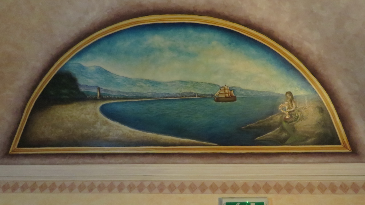
The hotel we stayed in was decorated with these interesting murals.
 |
 |
 |
This video (on YouTube) shows the amazing ceiling in our romm in the Hotel Gresi. |
Other pages